Yellow Jacket Draw-211A
Total Miles
3.6
Technical Rating
Best Time
Spring, Summer, Fall
Trail Type
Full-Width Road
Accessible By
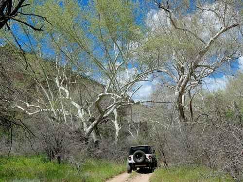
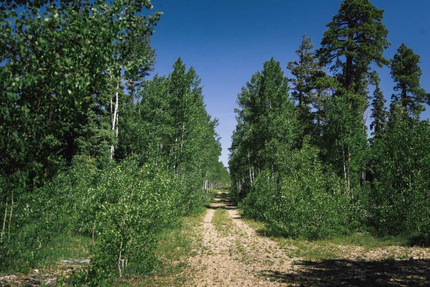
Trail Overview
This fun trail meets up with a network of other trails. It twists through several old dry creekbeds. Some of the transitions are steep in and out. Keep an eye out for young trees bent across the trail. Some have been cleared, and some have not. This will be exacerbated in the springtime after the snow pulls more down. Early on, a large down tree in the trail now has an established bypass around it. There are a couple of charming campsites near where this trail meets up with the Lost Eden Trail. FR- 211 G Trail also intersects, and many very nice campsites are up the hill on that trail. A few sections have deep ruts to navigate from mud in the springtime. The trail continues but ends at a steep hill climb. It becomes a boulder rock garden at the top of the hill and then transitions into a more moderate trail. Wildlife in this area is abundant, and several water tanks and creeks are around to draw them in. You may even see an elk, especially during the rut. There is only one bar of Verizon LTE that fades in and out.
Photos of Yellow Jacket Draw-211A


Difficulty
This trail is rated a two for the steeper ins and outs of the creekbeds and deeper ruts from people traveling in the spring. Be aware that travel in the area in springtime or after a heavy storm may require clearing downed trees.
History
The Mogollon Rim is a rugged escarpment that forms the southern limit of the Colorado Plateau. It extends across the entire forest, approximately 200 miles in total, and provides excellent views within plateau country and desert canyon country as well. Dropping as much as 2,000 feet in some areas, the Rim offers some of the most far-reaching scenery in Arizona. Views stretch from its rocky precipice to Four Peaks of the Mazatzals northeast of Phoenix. Sightseeing is a favorite activity along the Rim. Still, this forest area also boasts a historic system of hiking and horseback trails, a couple of picturesque lakes for boating and fishing, and backcountry skiing for wilderness adventurers. The Mogollon Rim is a topographical and geological feature cutting across the northern half of Arizona. It extends diagonally approximately 200 miles, starting in northern Yavapai County and running eastward, ending near the New Mexico border. It forms the southern edge of the Colorado Plateau in Arizona. The Rim is an escarpment defining the southwestern edge of the Colorado Plateau. Its central and most spectacular portions are characterized by high cliffs of limestone and sand, namely the Kaibab limestone and Coconino sandstone cliffs. This escarpment was created by erosion, faulting, and cutting dramatic canyons into it, including the Fossil Creek Canyon and Pine Canyon. The name Mogollon comes from Don Juan Ignacio Flores Mogollon, the Spanish governor of New Mexico from 1712 to 1715. The Mogollon Rim's limestones and sandstones were formed from sediments deposited in the Carboniferous and Permian Periods. Several of the Rim's rock formations are also seen on the walls of the Grand Canyon. The extensive basaltic lava flows cap or even bury the Rim in many places. Be sure to keep your eyes peeled for the endangered Mexican spotted owl. Other wildlife present on the Rim will be herds of elk and deer. You may see black bears, mountain lions, and even the occasional red-tailed hawk or peregrine falcon. There are also coyotes, horned toads, and rattlesnakes. This area frequently has fire restrictions early in the season. Be sure to contact the local ranger station for information about the current campfire restrictions. Or, at the minimum, check the Coconino Fire webpage. https://www.coconino.az.gov/2595/Fire-Restriction-Information
Status Reports
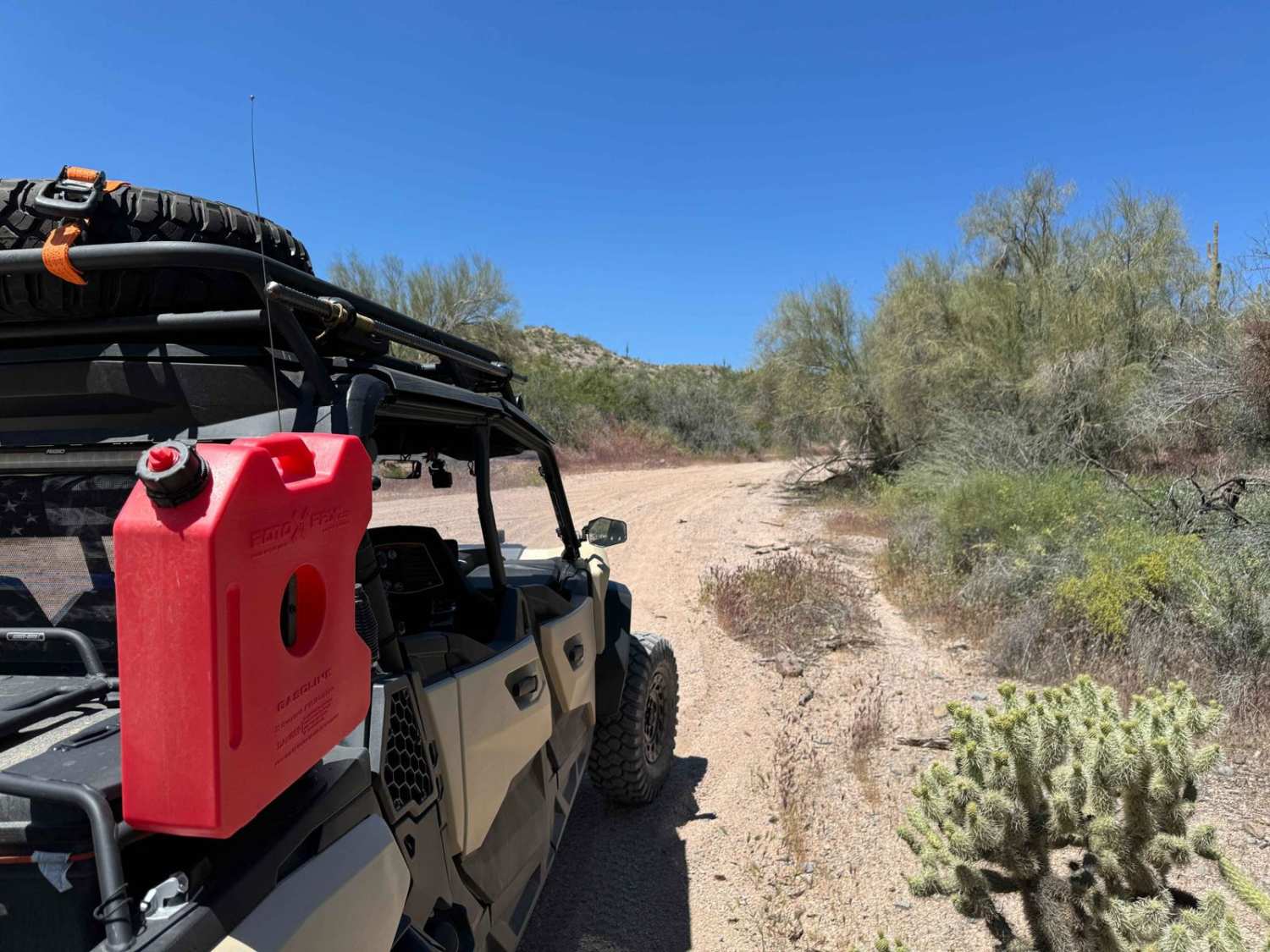
Yellow Jacket Draw-211A can be accessed by the following ride types:
- High-Clearance 4x4
- SUV
- SxS (60")
- ATV (50")
- Dirt Bike
Yellow Jacket Draw-211A Map
Popular Trails
Rug Road to Klondyke
Camp Creek Wash to Bartlett Lake Road

Railroad Draw
The onX Offroad Difference
onX Offroad combines trail photos, descriptions, difficulty ratings, width restrictions, seasonality, and more in a user-friendly interface. Available on all devices, with offline access and full compatibility with CarPlay and Android Auto. Discover what you’re missing today!