Big Fir
Total Miles
4.5
Technical Rating
Best Time
Spring, Summer, Fall, Winter
Trail Type
Full-Width Road
Accessible By
Trail Overview
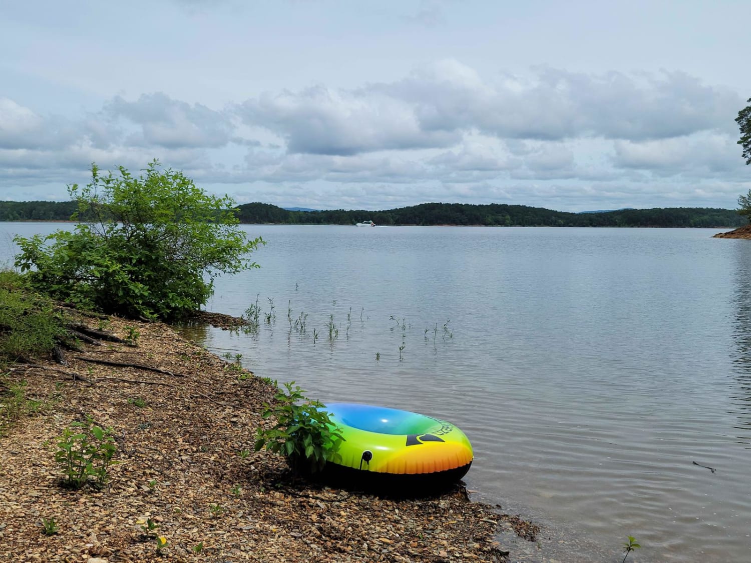
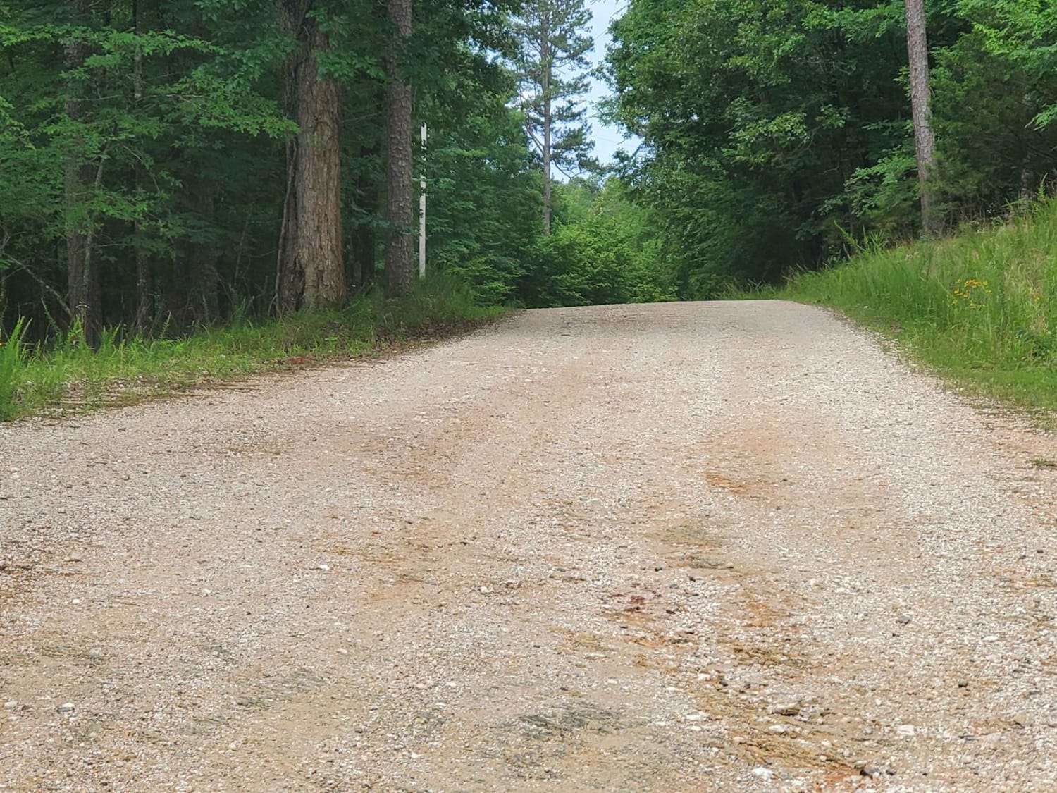
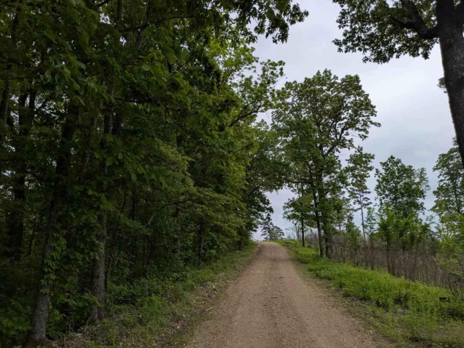
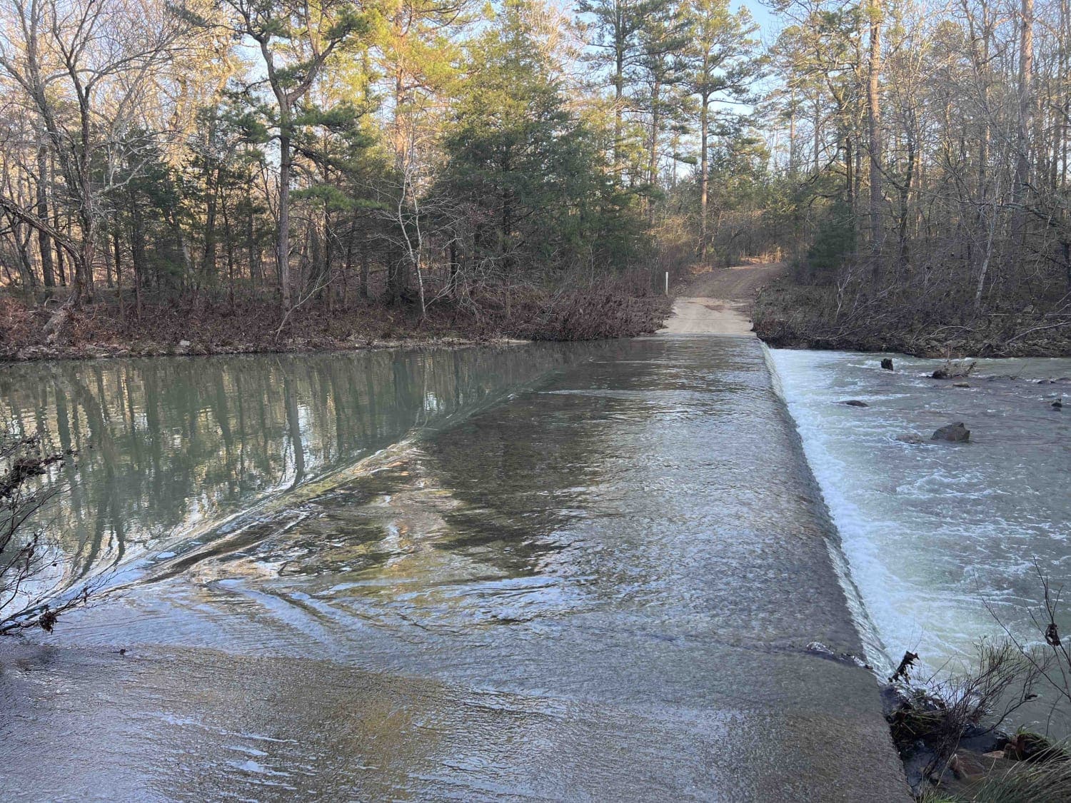
This maintained gravel road goes to Big Fir Public Use Area. There are two loop campgrounds (primitive with outhouse) and a rough spur trail that goes to another small camping area (primitive) with lake access. The roads have bumpy areas, which can be messy when wet. The spur part is rough, narrow, and has some shallow mud holes. Most camping spots are uneven, so be prepared. There are a handful of spots level enough for a tent. A boat ramp and lake access for swimming are available. This is a free-of-charge area.
Photos of Big Fir
Difficulty
Rough gravel road with rougher side spur.
Status Reports
Big Fir can be accessed by the following ride types:
- High-Clearance 4x4
- SUV
Big Fir Map
Popular Trails
Power Line BUZZ
Sims Fiddler Creek 274
Dutch Creek Mountain Road - Nature Takes Over
The onX Offroad Difference
onX Offroad combines trail photos, descriptions, difficulty ratings, width restrictions, seasonality, and more in a user-friendly interface. Available on all devices, with offline access and full compatibility with CarPlay and Android Auto. Discover what you’re missing today!
