Double Tree Picnic Trail
Total Miles
0.2
Technical Rating
Best Time
Fall
Trail Type
60" Trail
Accessible By
Trail Overview
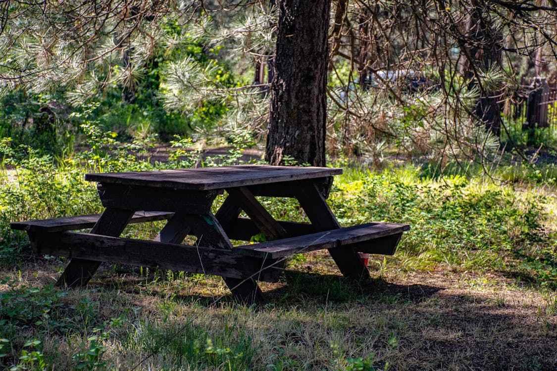
Check in at the office before riding. This is a multi-use trail that has a single track intersecting it. Yield to dirt bikes crossing this trail. Dirt bikes have the right of way. There is a picnic spot near the south end of this trail. Feel free to use the table and take in the seclusion of the woods as you enjoy your trailside meal. Remove all trash when finished. Let's keep our trails beautiful.
Photos of Double Tree Picnic Trail
Difficulty
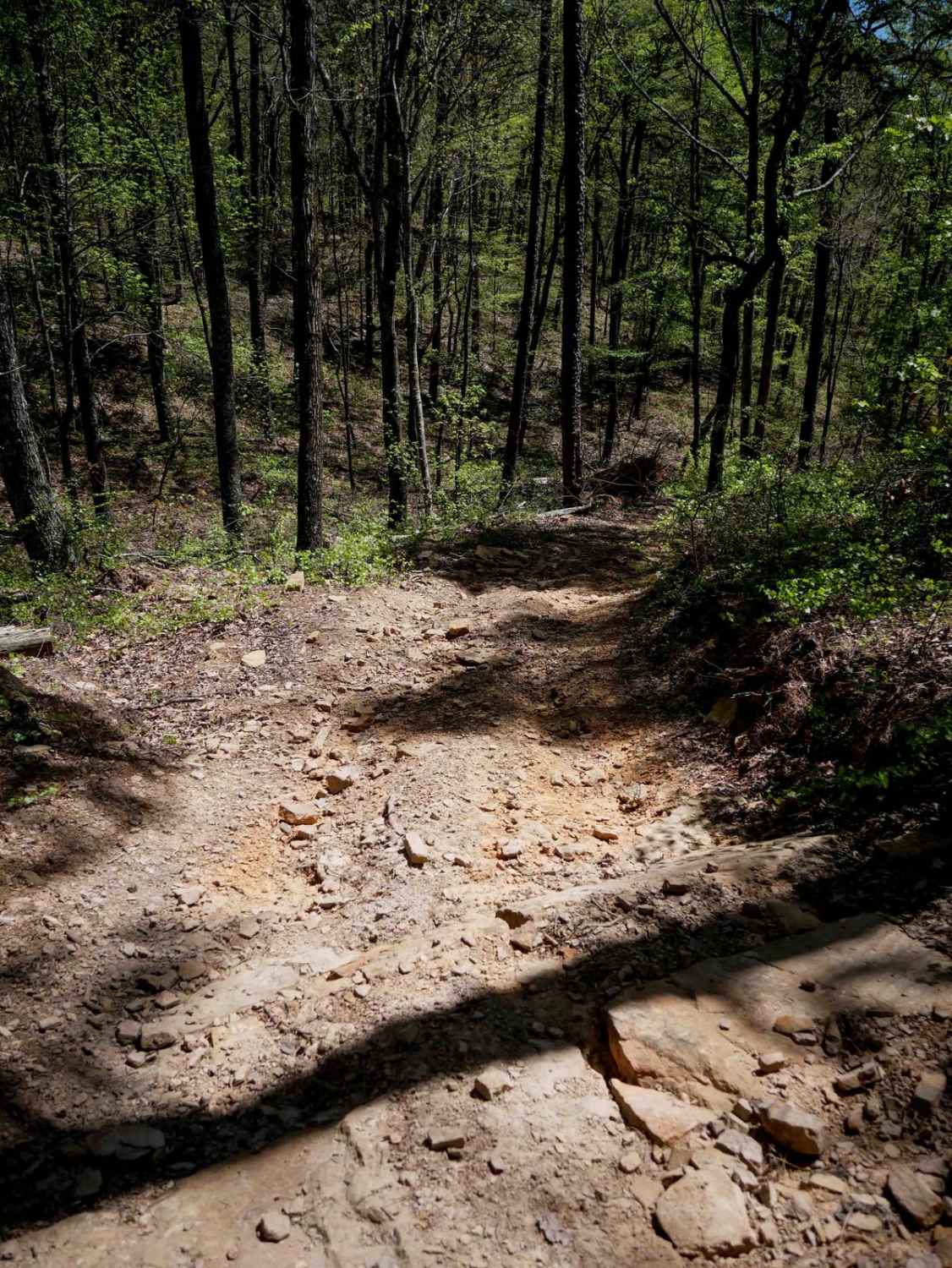
This is a simple dirt trail. Watch for the intersection with single track about midway up.
Status Reports
Double Tree Picnic Trail can be accessed by the following ride types:
- SxS (60")
- ATV (50")
- Dirt Bike
Double Tree Picnic Trail Map
Popular Trails

Kingston Road (156C)

Black Oak Ridge Loop

4ST Motorcycle Only
The onX Offroad Difference
onX Offroad combines trail photos, descriptions, difficulty ratings, width restrictions, seasonality, and more in a user-friendly interface. Available on all devices, with offline access and full compatibility with CarPlay and Android Auto. Discover what you’re missing today!


