Poteau Tower
Total Miles
6.2
Elevation
770.93 ft
Duration
0.5 Hours
Technical Rating
Best Time
Spring, Summer, Fall, Winter
Trail Overview
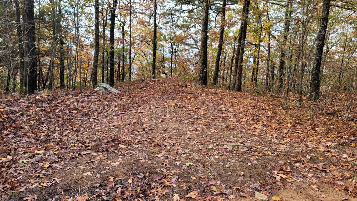
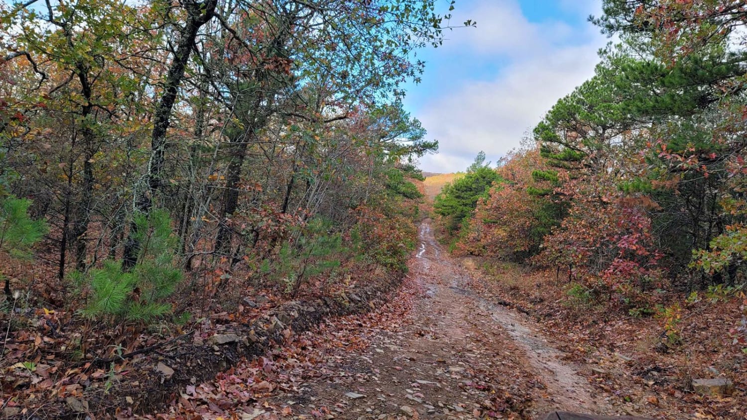
The trail starts at a dispersed campsite and ends at a fork in the road. Going straight at the fork takes you to a mountaintop with cell towers. There is a gate here that could be opened or closed. Going left will take you down the mountain. This trail will pass several areas for dispersed camping. There are a few wildlife ponds within view of the road. This trail has areas that are rough with big rocks, ruts, and mud (when wet). Some ground clearance and good tires are needed.
Photos of Poteau Tower
Difficulty
Gravel roads with ruts, big rocks and mud in some areas. Mud depends on the weather.
Status Reports
Popular Trails
Mountain Creek Trail
Eureka Springs Hollow 95472B
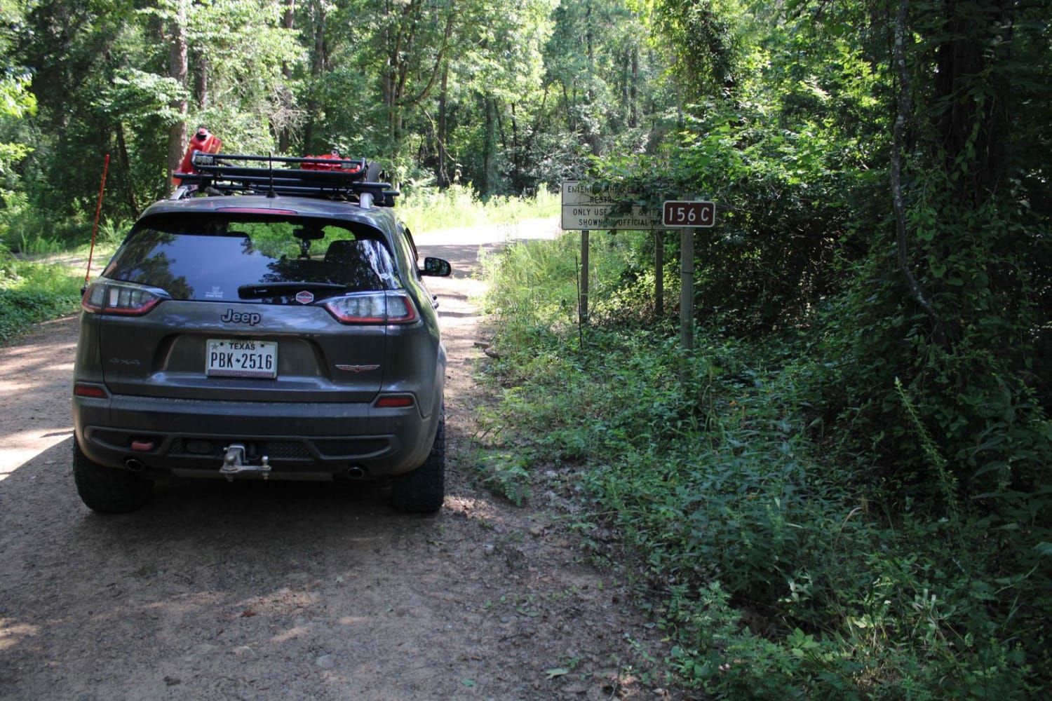
Kingston Road (156C)
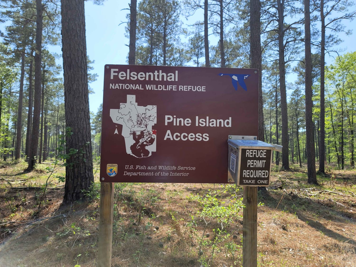
The Arkansas Overland Route - TrailHawk Loop - Section 20
The onX Offroad Difference
onX Offroad combines trail photos, descriptions, difficulty ratings, width restrictions, seasonality, and more in a user-friendly interface. Available on all devices, with offline access and full compatibility with CarPlay and Android Auto. Discover what you’re missing today!
