Burt Canyon Ridge Overlook
Total Miles
0.7
Technical Rating
Best Time
Summer, Spring, Fall
Trail Type
High-Clearance 4x4 Trail
Accessible By
Trail Overview
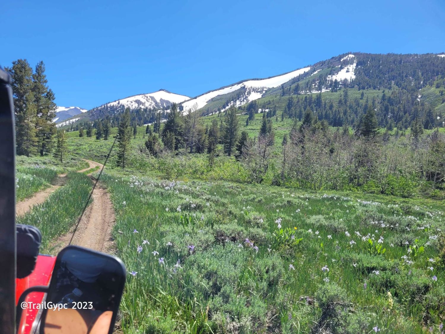
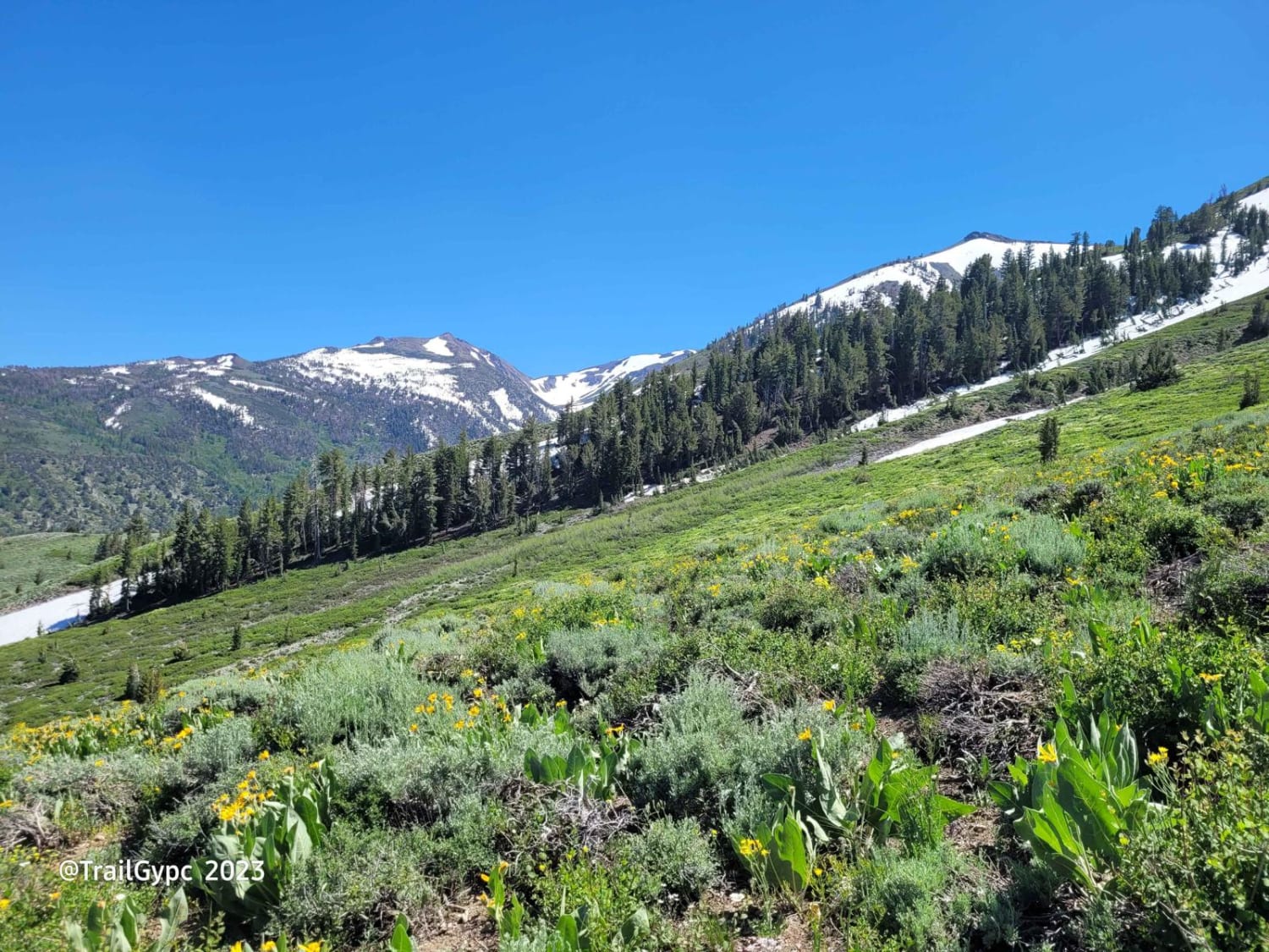
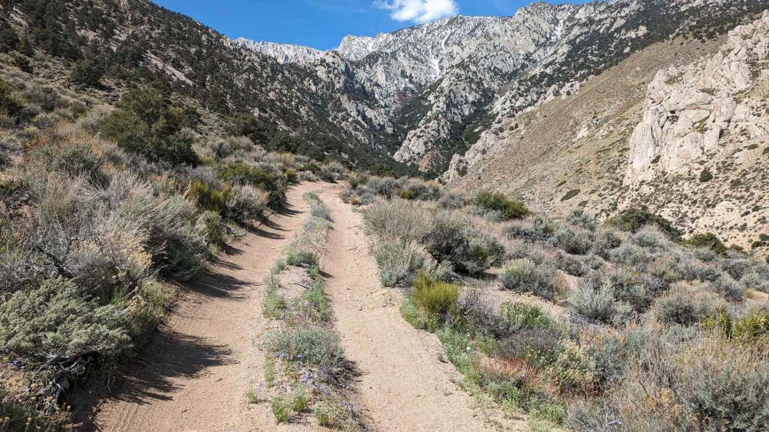
This is a beautiful ridge road off of Forest Service Road 22413 that runs along an overlook into Burt Canyon. It dead ends at the end at a plateau with a gorgeous view of the 10,535ft elevation of Mount Anna and into the Hoover Wilderness. In the beginning, it is a mild dirt road and rock. You go slow due to some under 12" high rocks in the beginning. Please go slow through the meadow part as it becomes a bog for about 30 ft. The road continues over a slight hill with rocks that stick up (watch for tire poppers). The climb continues up a scrabble, loose gravel terrain. 4WD needed. I continued up this in 2nd gear, 4LO as not to make dig holes up it. At the top, you continue out till the road ends. There is a small parking spot up at the top. Get out and enjoy the gorgeous Sierra views in the Humboldt-Toiyabe NF and the Hoover Wilderness in the background. It is a great spot for a lunch stop. The Mule's ears and smaller wildflowers make their showing within this sagebrush ridge in the late spring/early summer months, depending on the snowfall from winter. There is on the way in on an already routed road to a good-sized campsite that can fit 3-4 off-road vehicles. Please practice Leave No Trace! methods, take out all trash, and extinguish campfires properly. Campfire permits are needed. You may also not be able to have a campfire within this area due to fire conditions. Please check out the Humboldt-Toiyabe NF website for alerts, notices, and changes in campfire conditions.
Photos of Burt Canyon Ridge Overlook
Difficulty
Intermediate type trail due to the scrabble climb and loose rock towards the plateau and slope (60-70% slope). Large rocks under 12" a few more are under 18".
Status Reports
Burt Canyon Ridge Overlook can be accessed by the following ride types:
- High-Clearance 4x4
- SxS (60")
Burt Canyon Ridge Overlook Map
Popular Trails
Lake Shore - FS 96-063
Bailey Canyon

Edison Lake Road/Kaiser Pass North
South Fork Lubken Creek Canyon Loop
The onX Offroad Difference
onX Offroad combines trail photos, descriptions, difficulty ratings, width restrictions, seasonality, and more in a user-friendly interface. Available on all devices, with offline access and full compatibility with CarPlay and Android Auto. Discover what you’re missing today!
