Chepo Saddle 6S13
Total Miles
12.1
Technical Rating
Best Time
Summer, Fall
Trail Type
Full-Width Road
Accessible By
Trail Overview
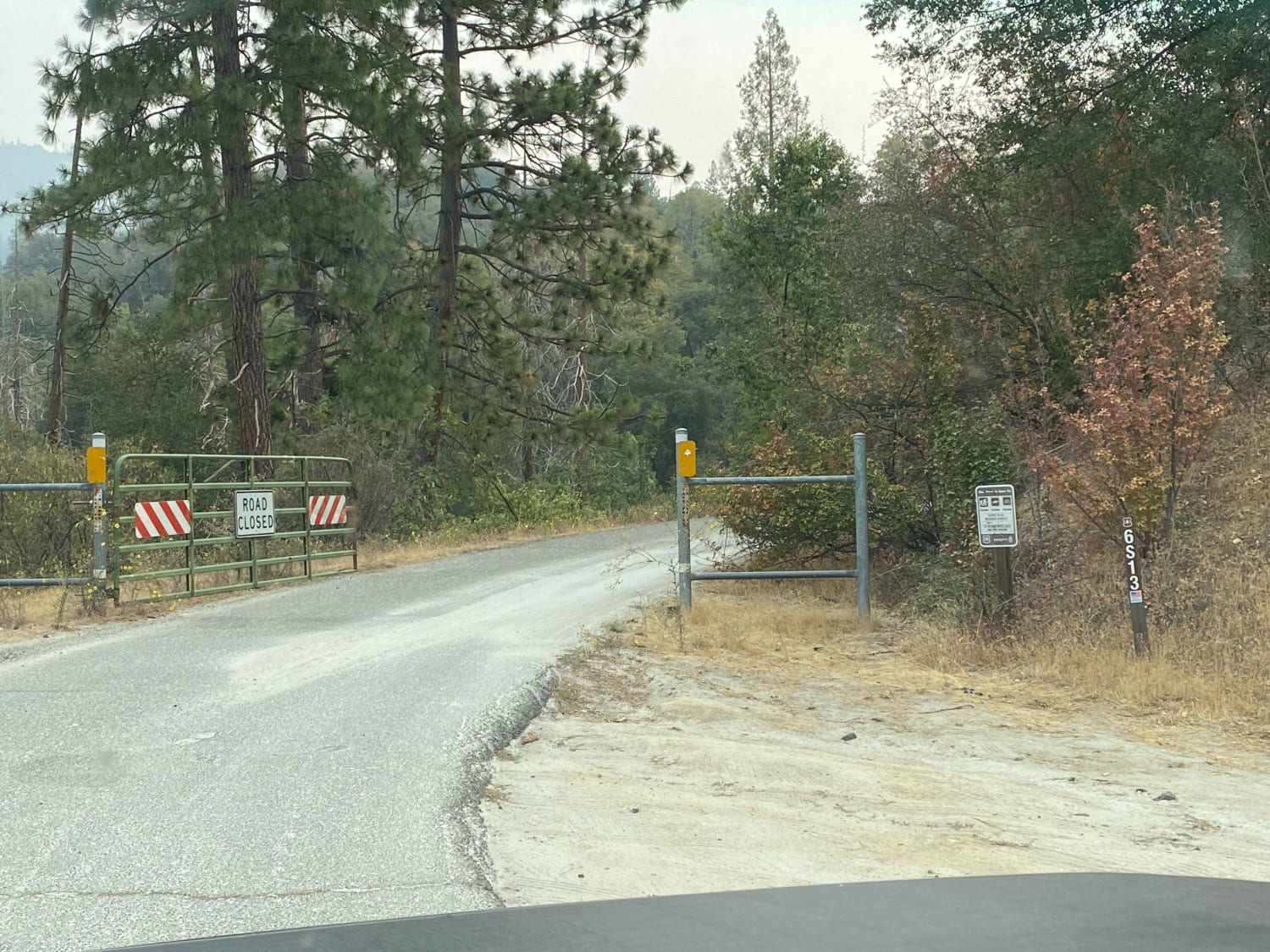
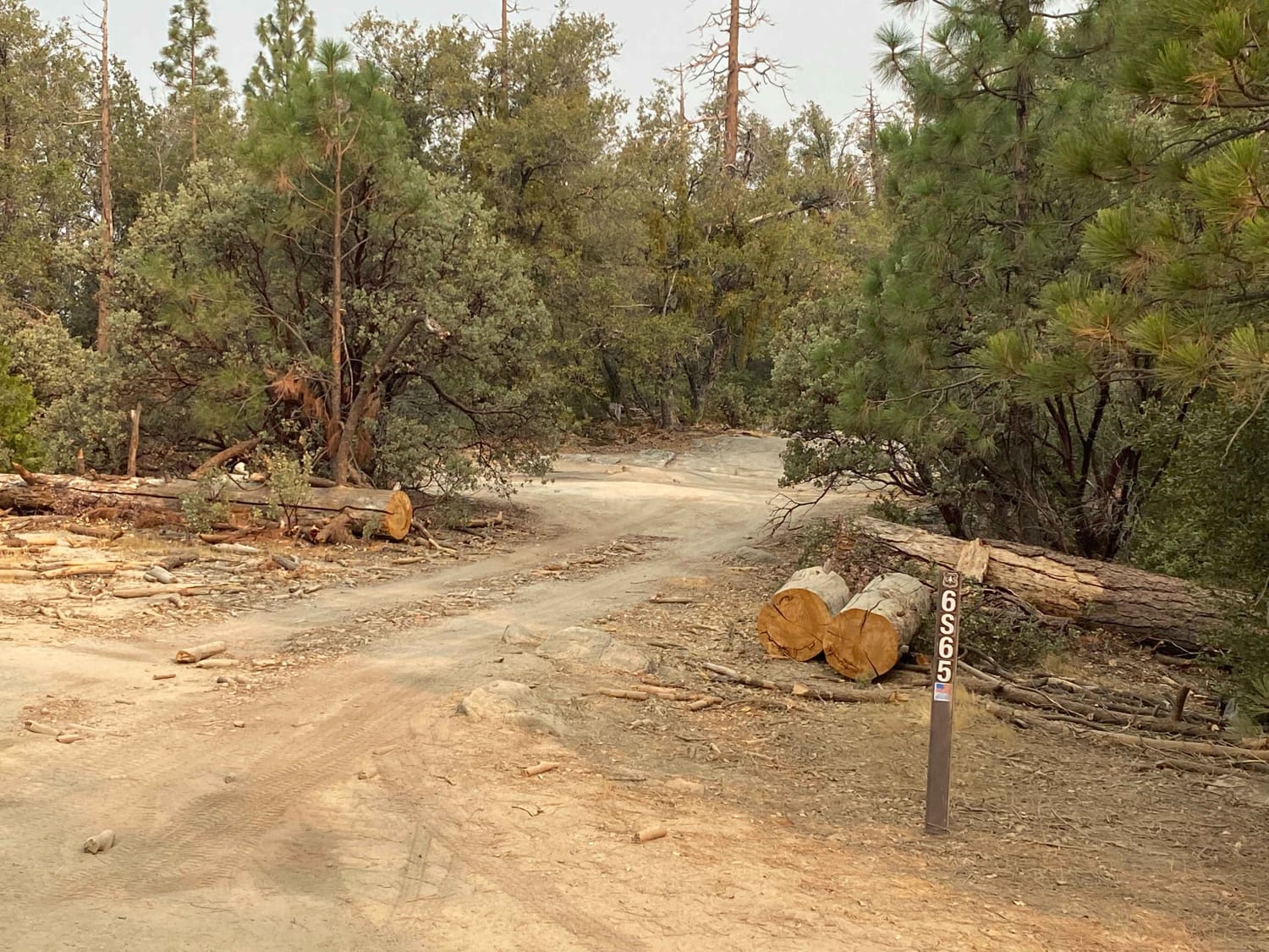
This is a Sierra foothill road near Bass Lake, which is not visible on this trek. It is a clear dirt road with very little pinstriping. Some rutting but very manageable. There are several ways to get off course, so follow the map closely. A paved road is reached at mile 5.8, at which point you can go on to reach Hwy 41 if you don't want to return on the trail.
Photos of Chepo Saddle 6S13
Difficulty
Easy
Status Reports
Chepo Saddle 6S13 can be accessed by the following ride types:
- High-Clearance 4x4
- SUV
Chepo Saddle 6S13 Map
Popular Trails
Mammoth Creek Road - FS 3S09
China Lake Border Run
Chloride Cliffs Road
The onX Offroad Difference
onX Offroad combines trail photos, descriptions, difficulty ratings, width restrictions, seasonality, and more in a user-friendly interface. Available on all devices, with offline access and full compatibility with CarPlay and Android Auto. Discover what you’re missing today!
