Janesville Singletrack
Total Miles
2.3
Technical Rating
Best Time
Spring, Summer, Fall
Trail Type
Single Track
Accessible By
Trail Overview
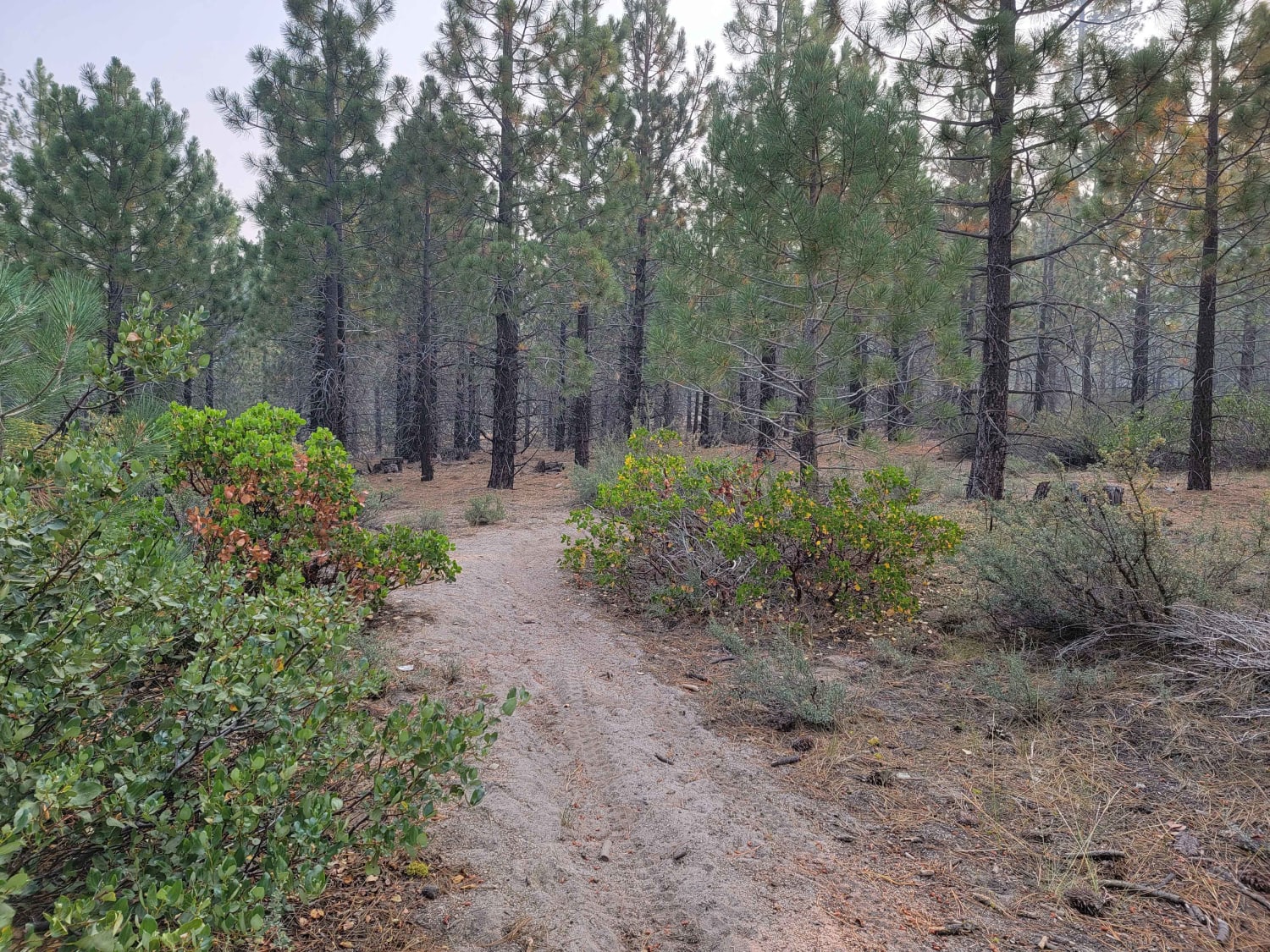
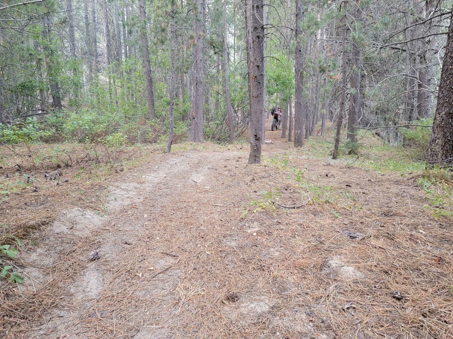
There is a good size parking area at the head of the trail for staging and the trail follows alongside the paved road, so extraction is possible at any moment if needed. The trail marker says ATVs and high clearance 4x4, but that marker must have been put in some time ago as the majority of the trail has been taken over by trees and in certain areas just barely wide enough for a dirtbike. The trail consists of some switchbacks, some sidehill, and quite a bit of sand. It is on the shorter side and ends at another dirt road that you could make a longer loop out of or use the space to turn around and ride the trail in the opposite direction back to the staging area.
Photos of Janesville Singletrack
Difficulty
The trail is not overly difficult but is tight and technical with little room for error
Status Reports
Janesville Singletrack can be accessed by the following ride types:
- Dirt Bike
Janesville Singletrack Map
Popular Trails
Leviathan Road East - FS 31052
Coyote Valley Road
Pichacho Peak Circle

Hell To Pay
The onX Offroad Difference
onX Offroad combines trail photos, descriptions, difficulty ratings, width restrictions, seasonality, and more in a user-friendly interface. Available on all devices, with offline access and full compatibility with CarPlay and Android Auto. Discover what you’re missing today!
