Mescal Canyon Road
Total Miles
3.0
Technical Rating
Best Time
Spring, Summer
Trail Type
Full-Width Road
Accessible By
Trail Overview
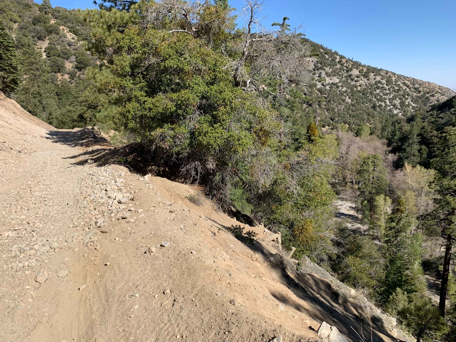
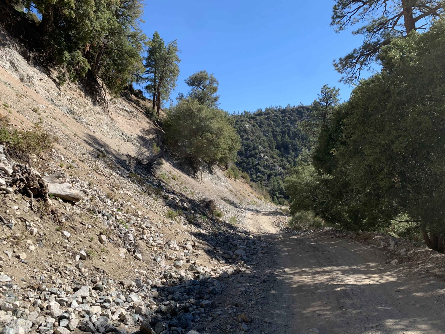
This trail can be approached from South to North or North to South. North to South will be more challenging because it is going up hill. Mainly dirt and small rocks make up the trail. The main road is wide enough for a vehicle to move aside and let others pass if needed. It is a two way trail, so watch for oncoming traffic. There is also potential for several small creek crossings, so rocks on the hill can get slippery. In spring and summer, the trail can be done in 2WD with decent ground clearance. Cell service is good for the most part and the town of Wrightwood is near the South end of the trail.
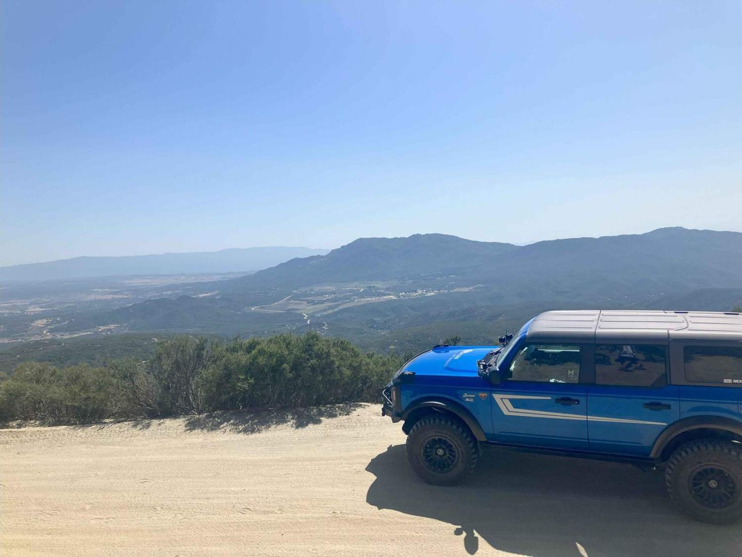
Photos of Mescal Canyon Road
Difficulty
The trail was mainly flat with sections of small rocks and a small creek crossing. Can be done in 2WD.
Status Reports
Mescal Canyon Road can be accessed by the following ride types:
- High-Clearance 4x4
- SUV
- SxS (60")
- ATV (50")
- Dirt Bike
Mescal Canyon Road Map
Popular Trails
Shepherd Road - FS 31354
Phillips Loop
Thomas Mountain West Approach

The Uncivilized Trona Road
The onX Offroad Difference
onX Offroad combines trail photos, descriptions, difficulty ratings, width restrictions, seasonality, and more in a user-friendly interface. Available on all devices, with offline access and full compatibility with CarPlay and Android Auto. Discover what you’re missing today!
