Midway Well Road
Total Miles
12.1
Technical Rating
Best Time
Spring, Fall
Trail Type
Full-Width Road
Accessible By
Trail Overview
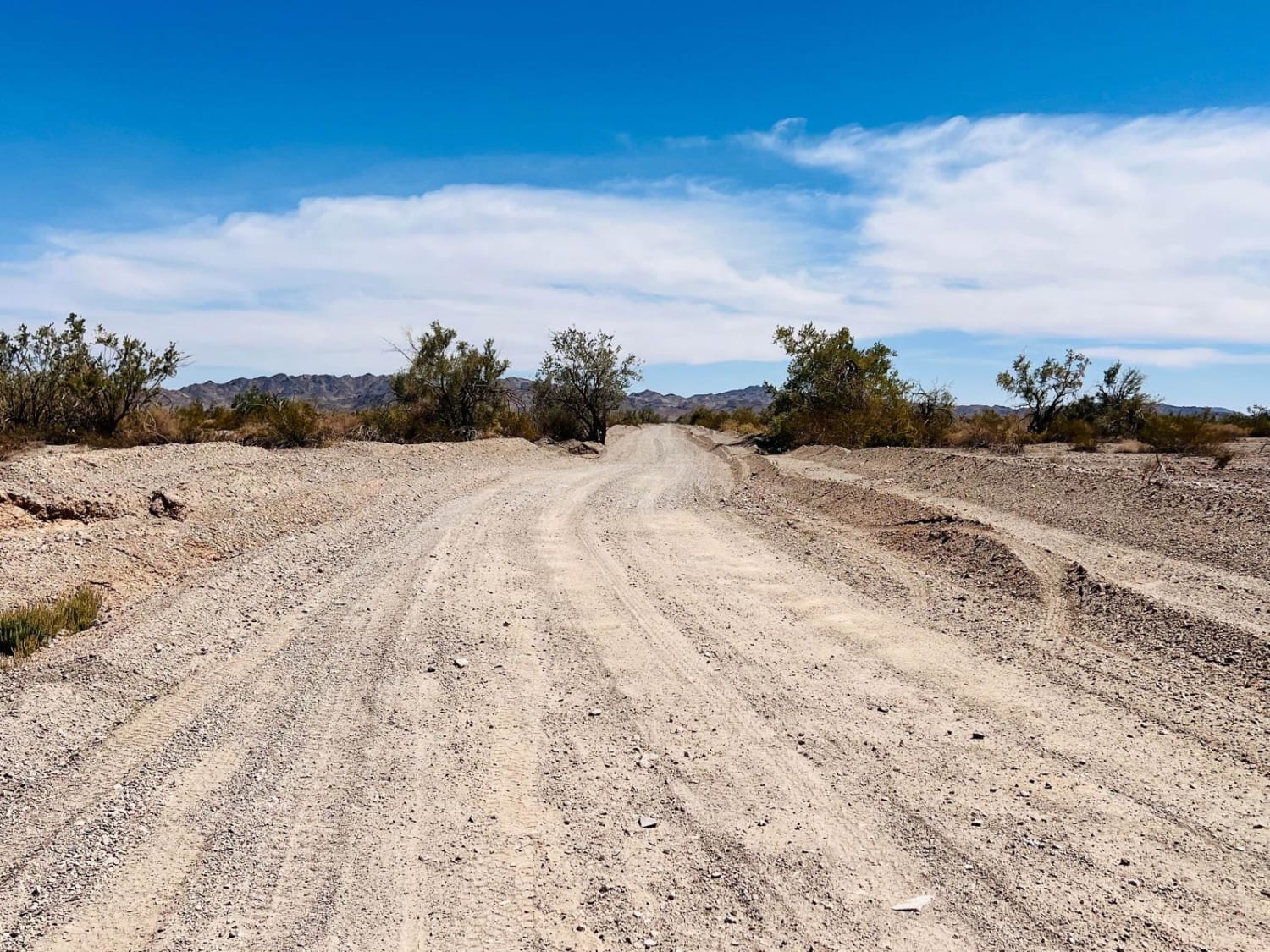
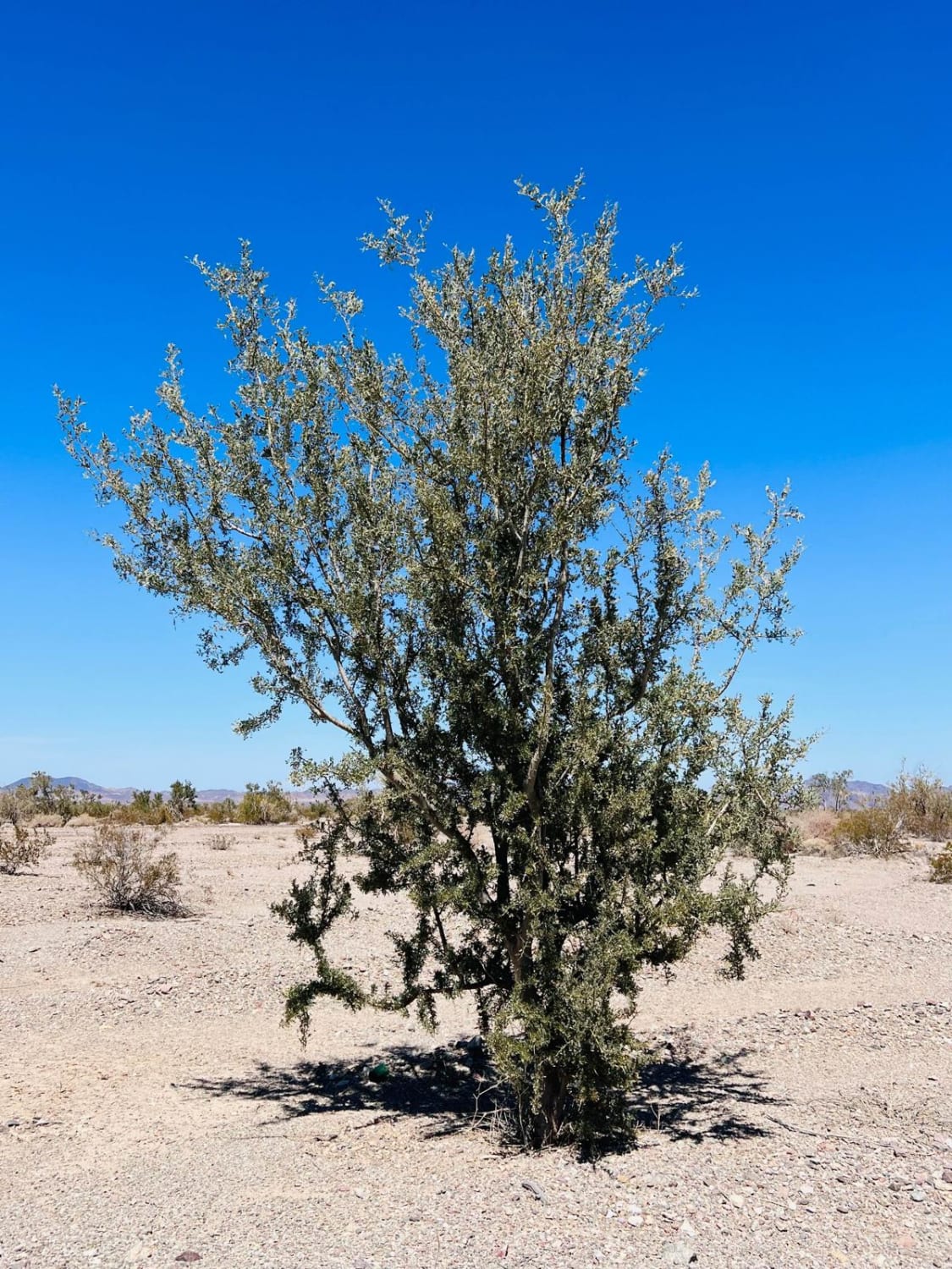
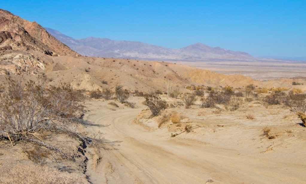
A great trail option to get out to the geode bed collection area. It begins as a wide washboard dirt trail with easy wash crossings. It is relatively flat and straight for a while. Once it curves north, the trail passes a series of desert communities and private property. The trail still has access alongside the private properties. Once beyond the desert dwellings, the trail turns into a narrow two-track. It is also much less traveled, with deeper washouts and ruts. Even though the trail name is Midway Well Road we did not spot any wells along this route. However, plenty of larger trees and wash crossings indicate water in the area. There are a few decent fire rings and large open spots for dispersed camping. Some Verizon cell service is present the whole way.
Photos of Midway Well Road
Difficulty
Some light sandy washes and a few ruts to navigate.
Status Reports
Popular Trails
Diablo Dropoff
Cut Across Trail
Thomas Hunting Grounds
The onX Offroad Difference
onX Offroad combines trail photos, descriptions, difficulty ratings, width restrictions, seasonality, and more in a user-friendly interface. Available on all devices, with offline access and full compatibility with CarPlay and Android Auto. Discover what you’re missing today!
