Old Yosemite Coulterville Road
Total Miles
30.2
Technical Rating
Best Time
Spring, Summer, Fall
Trail Type
Full-Width Road
Accessible By
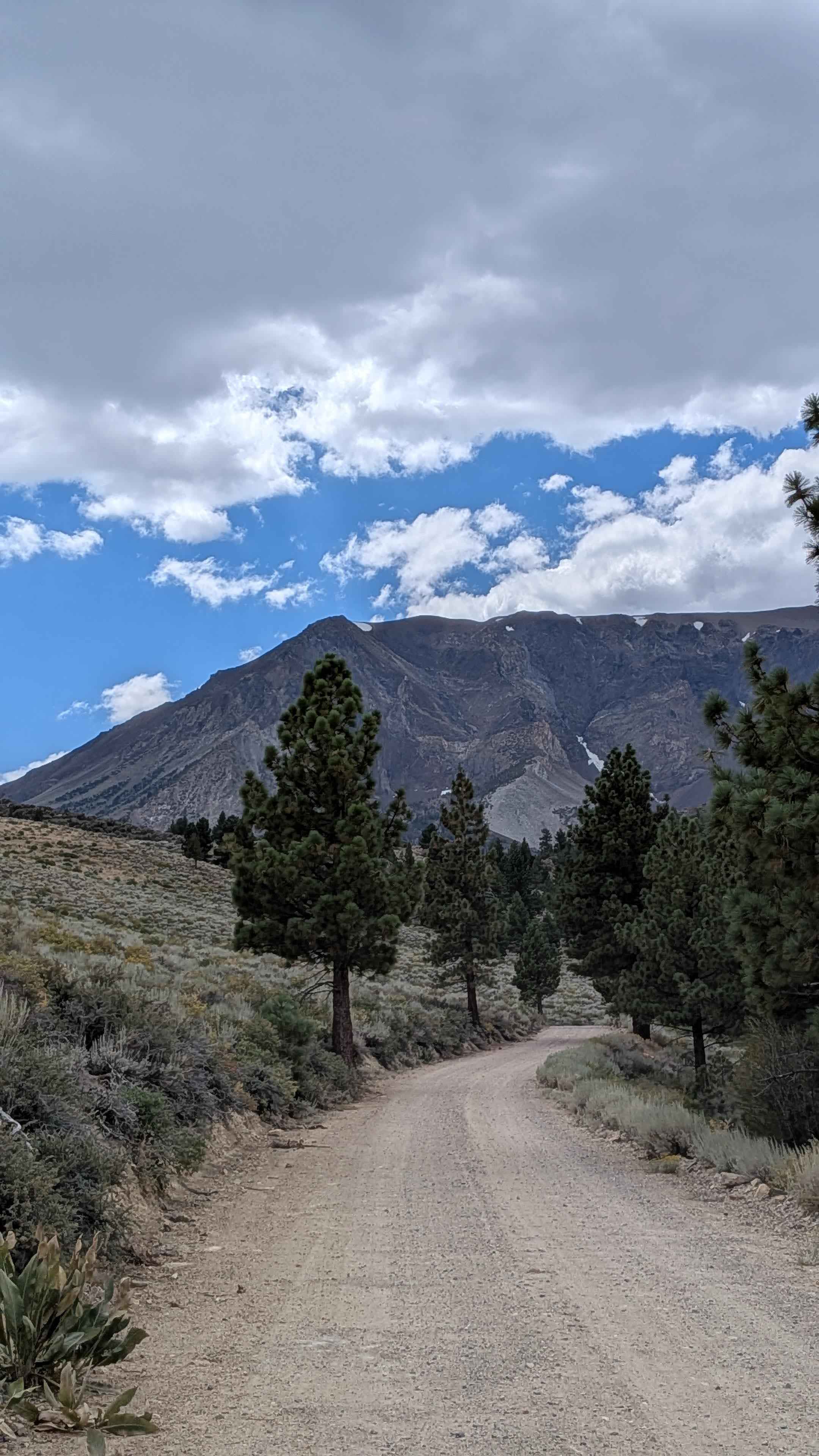
Trail Overview
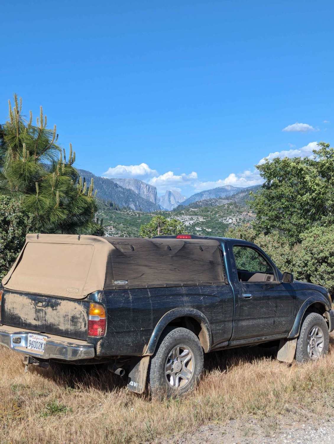
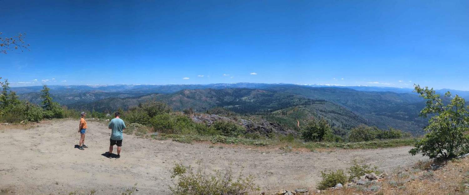
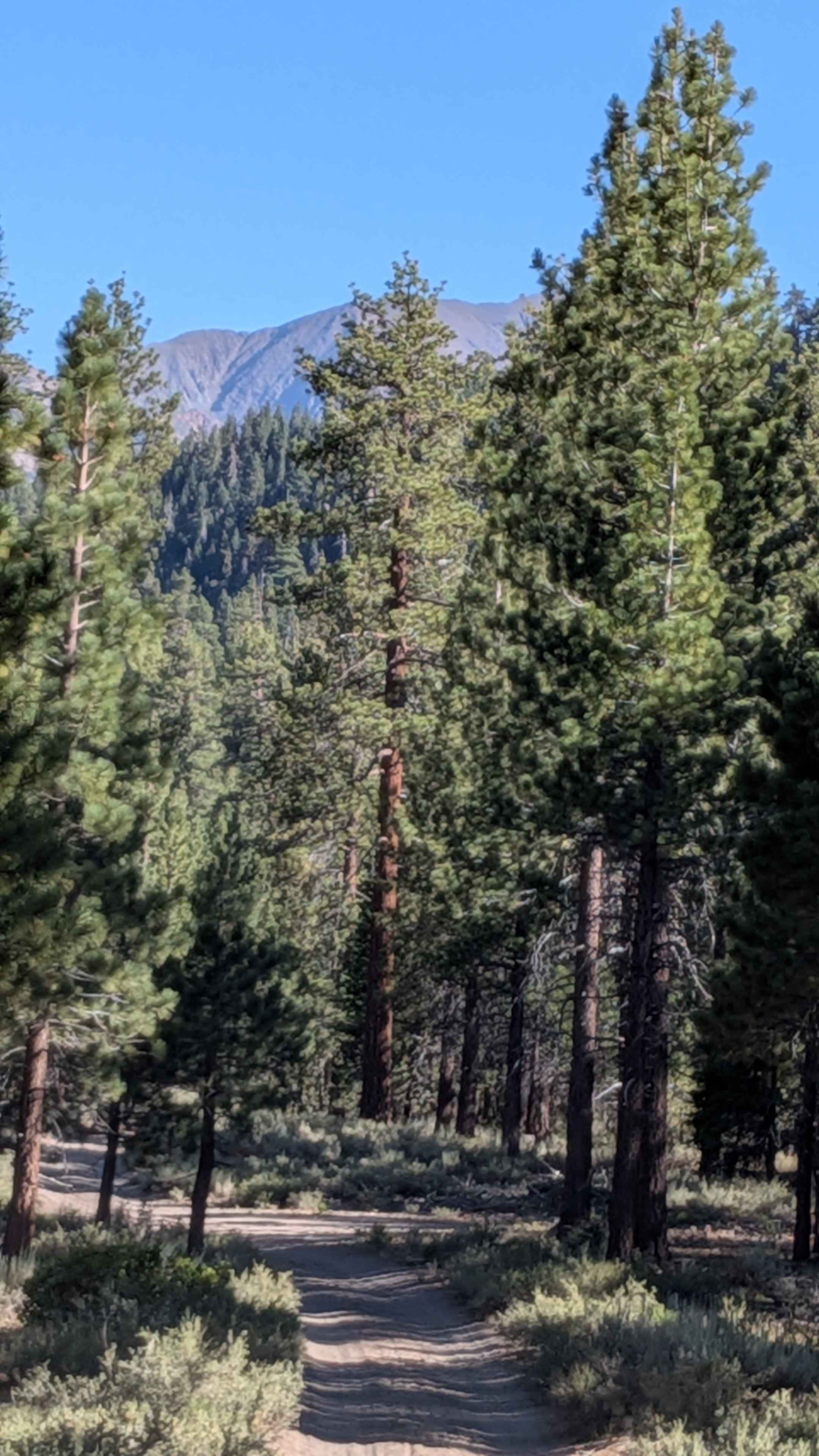
The original road leading into Yosemite Valley, this trail first opened in 1874. Enjoy panoramic views as you climb a well-maintained Forest Service road to Pilot Peak and follow a ridgeline towards Trumbull Peak. The surroundings become lush as you make a fun, short, and twisty descent to Little Nellie Falls where there is a shallow creek crossing. The final 3 miles offer breathtaking beauty and unique views of El Capitan and Half Dome as you enter Yosemite Valley. This road is 2 vehicles wide in most areas and is closed seasonally from December 15 through April 15.
Photos of Old Yosemite Coulterville Road
Difficulty
This road is well-maintained with a few isolated sections having shallow ruts and one shallow creek crossing usually around 6 inches deep. The vast majority of this route is 1/10 difficulty, with 4WD not necessary in dry conditions when traveling west. This route is more difficult when traveling east from Foresta towards Buck Meadows, as the climb out of Little Nellie Falls is somewhat steep and will likely require 4WD.
History
This was the first road into Yosemite Valley. Originally a county road, it became a toll road and later again a county road. Opened in 1874 as an improved toll road, it has served continuously since that time. Beginning in 1956, the Northern California - Yosemite Highway Association raised and spent $50,000 to rebuild the road to be more compatible with modern traffic.
Status Reports
Old Yosemite Coulterville Road can be accessed by the following ride types:
- High-Clearance 4x4
- SUV
- SxS (60")
- ATV (50")
- Dirt Bike
Old Yosemite Coulterville Road Map
Popular Trails
The Trek to McIver's Cabin

Red Mountain - FS 8S010
Parker Lake Road - NF1S25
The onX Offroad Difference
onX Offroad combines trail photos, descriptions, difficulty ratings, width restrictions, seasonality, and more in a user-friendly interface. Available on all devices, with offline access and full compatibility with CarPlay and Android Auto. Discover what you’re missing today!