Pardoe Cutoff
Total Miles
1.7
Technical Rating
Best Time
Spring, Summer, Fall
Trail Type
Full-Width Road
Accessible By
Trail Overview
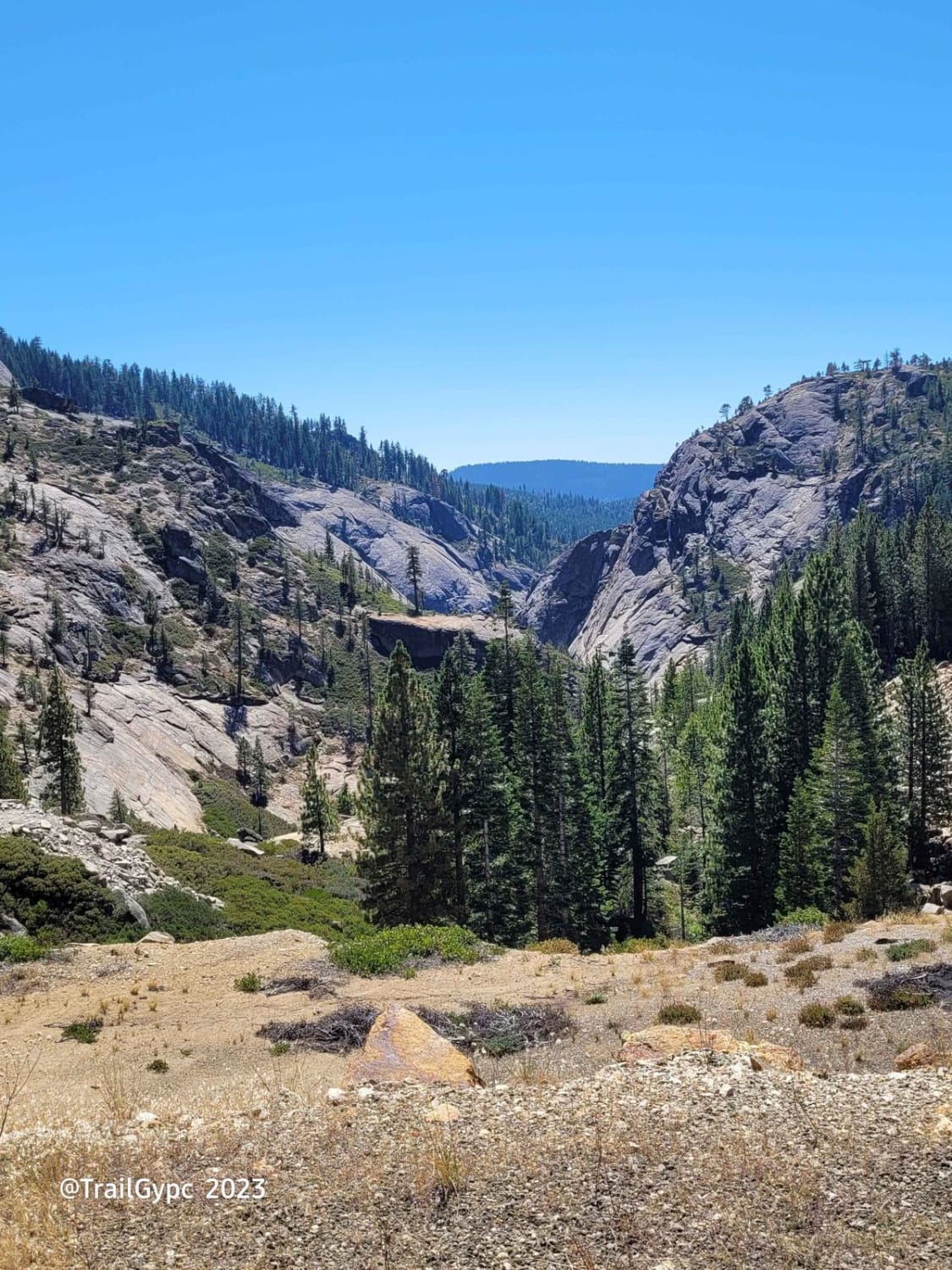
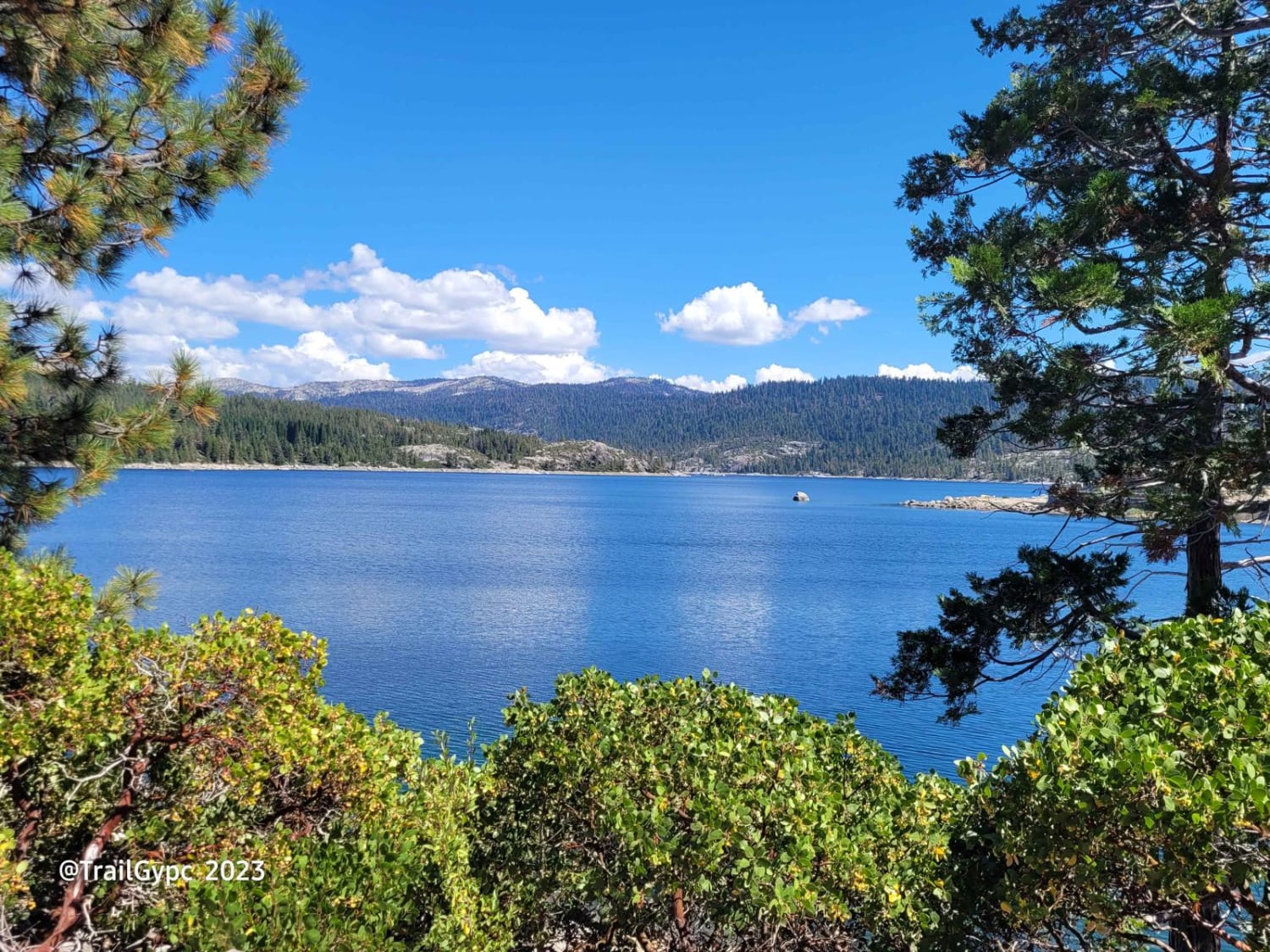
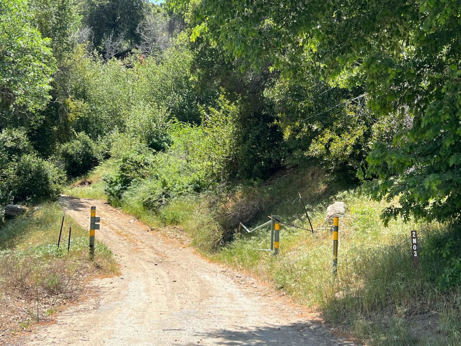
This is a fun little cut-off route off the paved road between Bear River Road and Pardoe Road loop within the El Dorado National Forest. It takes you through a beautiful little forest area. Most of the roads are paved within the Bear River area. Only the spur roads and main OHV routes are dirt and rock. This is a pretty easy route with some hill climbs of scrabble rock/dirt. One section of the route has huge water runoff cuts in it. There are two ways around this or you can go right over it. It is suggested to have 4WD, but a 2WD with clearance can make it. The route will be closed come snowfall. It is also suggested to run with 2WD in the summer only. All of the roads within the Bear River area are open to OHV, hikers, horseback riders, and street-legal vehicles (multi-trail users), so please be cautious of other users when traveling. There is also range cattle in the area, so be aware, don't harass the livestock or the ranchers using the area as a summer grazing lease. You can also connect this route with another route, the Devil's Lake route, which is tracked as well. There are plenty of primitive camping spots within the route and within the Bear River area. There is hit-and-miss cell signal down within the canyon and backcountry areas. Campfire permits are required and check with current fire restrictions before camping. Practice Leave No Trace and Tread Lightly ethics at all times.
Photos of Pardoe Cutoff
Difficulty
This is a great little cutoff route of the paved road to another route, the Devil's Lake route. Full-sized pickups, motorcycles, SXS, quads, and Jeeps (and 2WD with some clearance) can make this route. This is a multi-use trail, so be aware of others. It's a rock, gravel, and dirt combined trail. There's a small hill climb, but nothing hard.
History
The Mormon-Emigrant trail and other wagon routes wind throughout the Bear River area and El Dorado National Forest. By taking the Hungaletti Ridge route, you can trace and see the actual wagon wheel scars in the granite slicks. Along the route on the ridge, you will come across California Wagon Trail Markers with placards that read from pages of the diaries and journals of the pioneers who crossed here. There are also lots of historic artifacts along the route, traces of the pioneers, wagon parts, etc. Please do not take any of these historic artifacts. They are all logged and kept a close eye on.
Status Reports
Popular Trails

The Narrows

The Reward Mine
The onX Offroad Difference
onX Offroad combines trail photos, descriptions, difficulty ratings, width restrictions, seasonality, and more in a user-friendly interface. Available on all devices, with offline access and full compatibility with CarPlay and Android Auto. Discover what you’re missing today!


