Peligreen Jeepway
Total Miles
58.0
Technical Rating
Best Time
Fall
Trail Type
Full-Width Road
Accessible By
Trail Overview
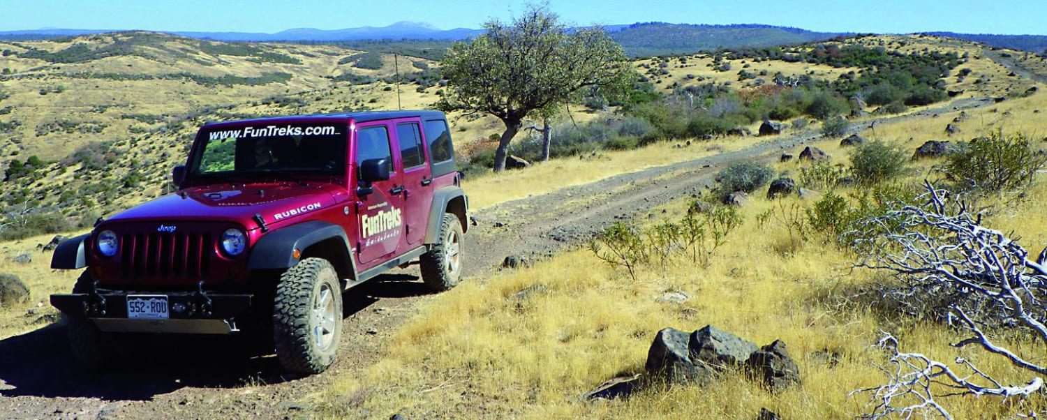
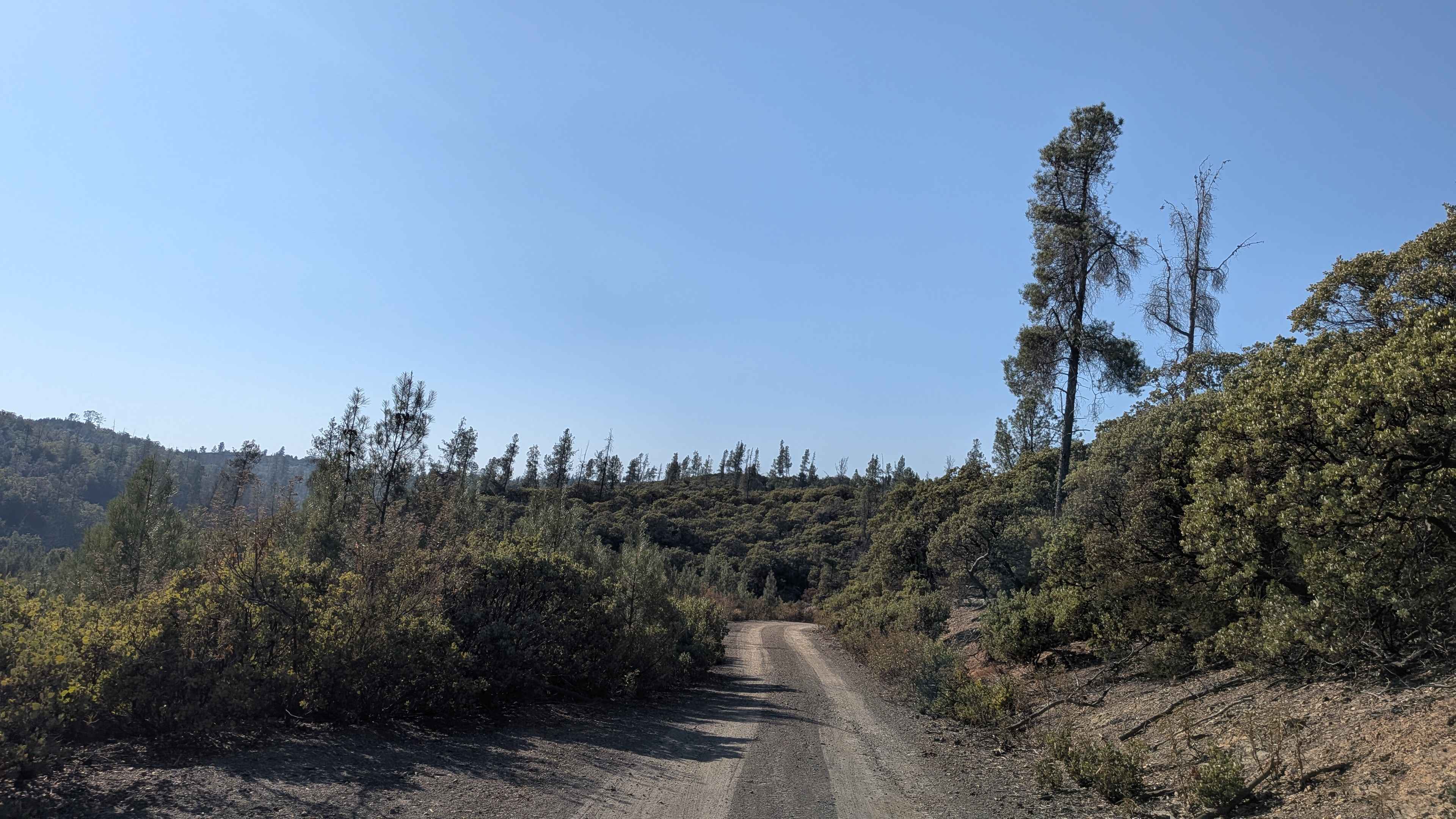
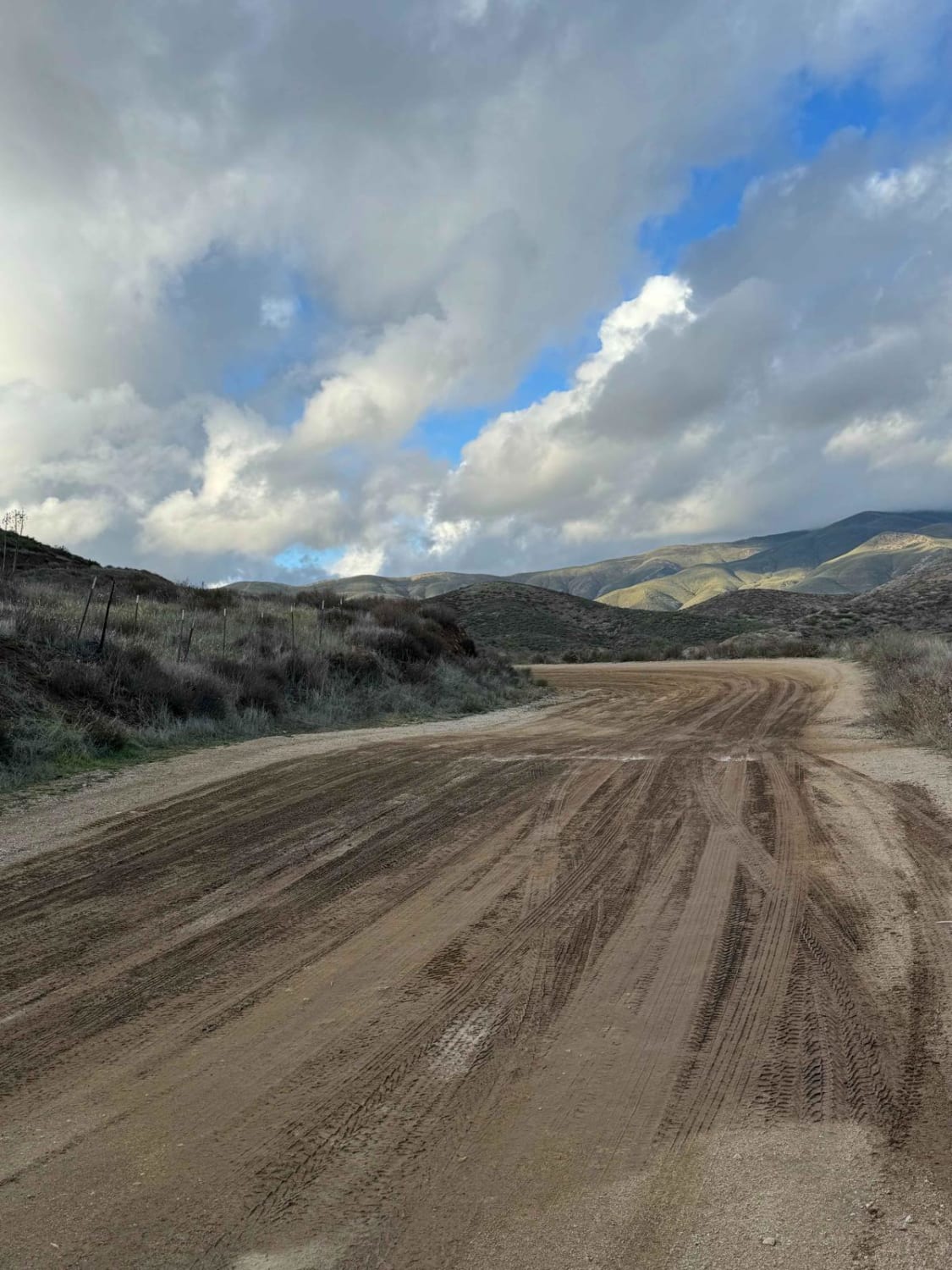
Trail starts with an easy scenic drive through pine trees as it crosses several small creeks. The real fun starts when the road becomes a rough narrow one-lane drive over long volcanic ridges. Scenic views throughout until you reach Ishi Road, where you once again reach wide gravel roads. Forest campgrounds along Hogsback Road plus dry camping. Green-sticker vehicles on side roads only, not main route shown here.
Photos of Peligreen Jeepway
Difficulty
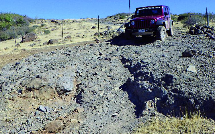
Moderate: Easy, wide gravel road then changes to rough rocky terrain after Wpt. 03. High-clearance SUV recommended. One steep incline and several rocky sections along ridge are tricky to navigate. Grapevine Jeepway can be tight with brush. Optional shortcut can be difficult to impassible due to numerous fallen trees.
Status Reports
Peligreen Jeepway can be accessed by the following ride types:
- High-Clearance 4x4
- SUV
Peligreen Jeepway Map
Popular Trails

Chalk Bluff Road
Rush Canyon Road
The onX Offroad Difference
onX Offroad combines trail photos, descriptions, difficulty ratings, width restrictions, seasonality, and more in a user-friendly interface. Available on all devices, with offline access and full compatibility with CarPlay and Android Auto. Discover what you’re missing today!
