Off-Road Trails in California

Discover off-road trails in California

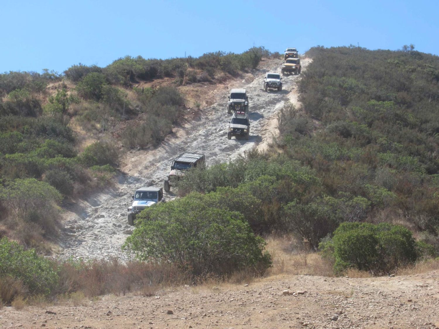
Learn more about Eagle Pass
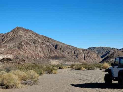
Eagle Pass

Eagle Pass

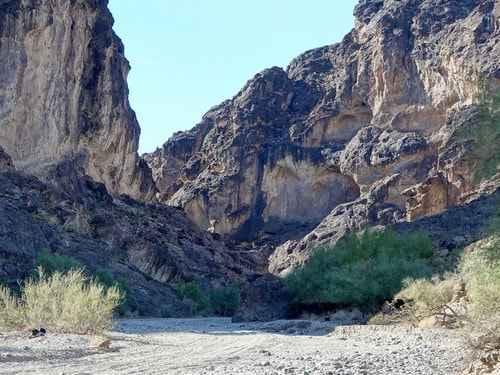
A simple, but bone-jarring, trail through a canyon in the Sacramento Mountains near Needles, California. We did this trail starting at Exit 148 south of Needles, but it can be done either way. Eagle Pass…
Learn more about Eagle Pass
Total Miles
29.8
Tech Rating
4 Moderate
Best Time
Summer, Fall
Learn more about Eagle Peak 4x4 Trail
Eagle Peak 4x4 Trail

Eagle Peak 4x4 Trail

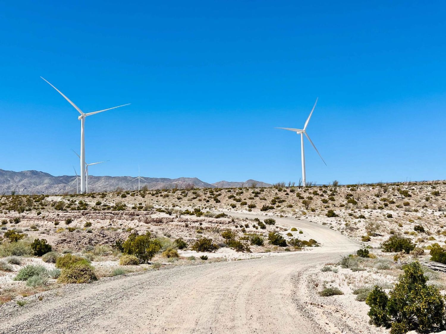
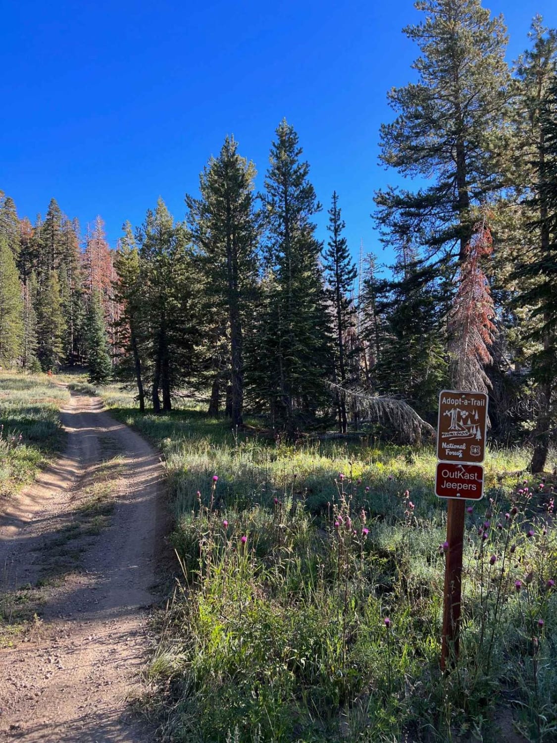
This loop is very scenic and is a great weekend trip. This trail is adopted by Outcast Jeepers and is an easy-to-moderate trail but is loaded with views! There are lots of camping spots with…
Learn more about Eagle Peak 4x4 Trail
Total Miles
12.7
Tech Rating
3 Easy
Best Time
Spring, Summer, Fall
Learn more about Eagle Rock
Eagle Rock

Eagle Rock

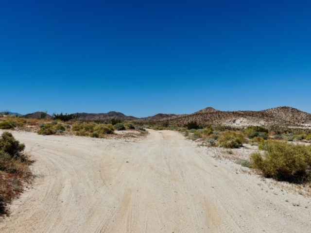
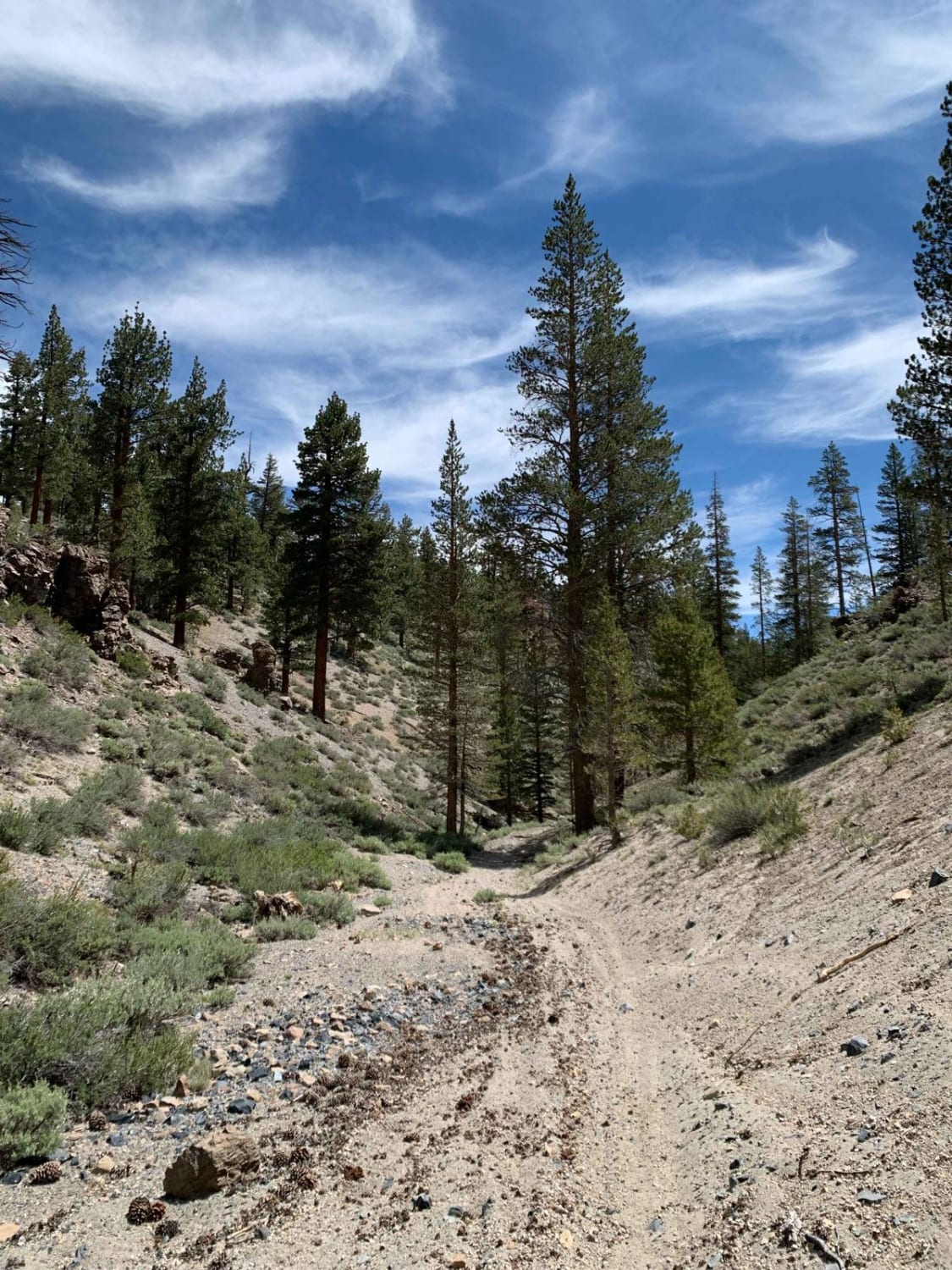
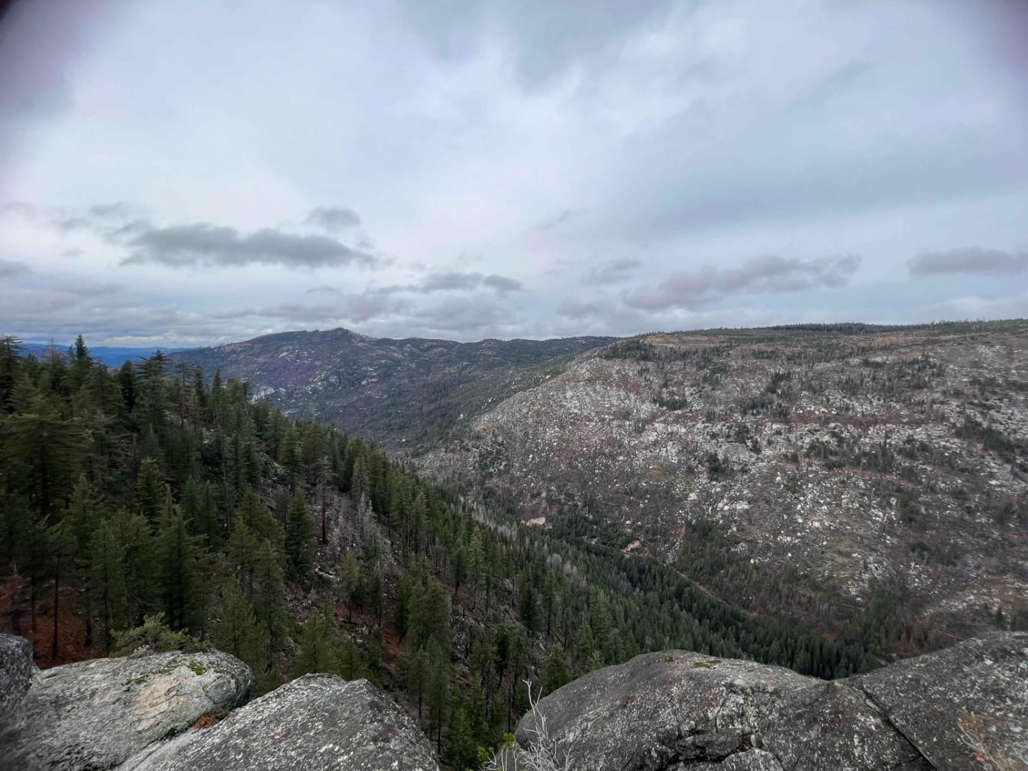
This trail takes you to about 6,200 feet to the Eagle Rock! The trail up is steep and rocky and even covered in pine needles, but it is worth it! The view at the top…
Learn more about Eagle Rock
Total Miles
5.2
Tech Rating
5 Moderate
Best Time
Spring, Summer, Fall, Winter
Learn more about Earp Falls
Earp Falls

Earp Falls

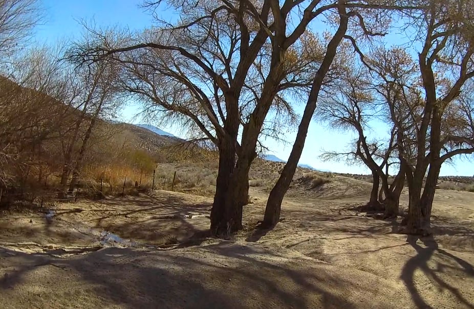
Earp Falls is created by seepage from Copper Basin Reservoir and is a perennial waterfall. The associated wash is verdant with palm trees and other vegetation not commonly found in this area. The water is…
Learn more about Earp Falls
Total Miles
7.5
Tech Rating
6 Moderate
Best Time
Spring, Summer, Fall, Winter
Learn more about East Bank Wash
East Bank Wash

East Bank Wash

Welcome to the Ocotillo Wells State Vehicle Recreational Area, the largest SVRA in California with more than 85,000 acres. OWSVRA is over 130 square miles with hundreds of miles of desert track open to all…
Learn more about East Bank Wash
Total Miles
3.9
Tech Rating
3 Easy
Best Time
Spring, Summer, Fall, Winter
Learn more about East Indian Canyon 4S10
East Indian Canyon 4S10

East Indian Canyon 4S10

This is a level 2-rated full-width road back to Highway 243. This is the fastest and safest way back up to Highway 243. The route through Bee Canyon is currently closed. 2 areas had a…
Learn more about East Indian Canyon 4S10
Total Miles
8.6
Tech Rating
2 Easy
Best Time
Spring
Learn more about Eastern Aiken Mine Road
Eastern Aiken Mine Road

Eastern Aiken Mine Road

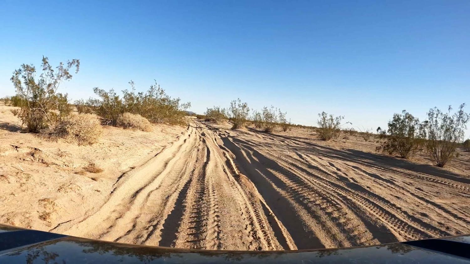
This trail leads from the Valley View Ranch area over to connect with the EMHT trail and continues to the mine area. The trail is mostly sandy with some really deep, longer sections and a…
Learn more about Eastern Aiken Mine Road
Total Miles
6.3
Tech Rating
4 Moderate
Best Time
Winter, Fall, Spring
Learn more about Eastern Zinc Mine Road
Eastern Zinc Mine Road

Eastern Zinc Mine Road

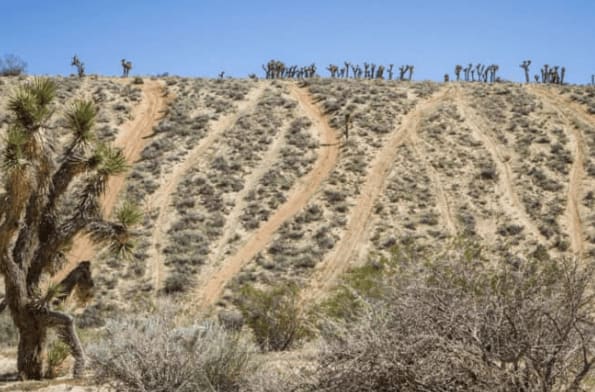
This trail is a nice easier cut across from White Eagle Road to Paved Cima Road. There are many Joshua Trees in very dense forests. Other desert plants and evidence of Wild Burros, but none…
Learn more about Eastern Zinc Mine Road
Total Miles
5.6
Tech Rating
3 Easy
Best Time
Winter, Fall, Spring
Learn more about Easy Way to Camp From Trona Road
Easy Way to Camp From Trona Road

Easy Way to Camp From Trona Road

This trail starts out easy for larger rigs to access dispersed camping areas. It should be very doable for trailers and Motorhomes. Be sure to stop at the last large open space on the NE…
Learn more about Easy Way to Camp From Trona Road
Total Miles
1.4
Tech Rating
2 Easy
Best Time
Winter, Fall, Spring
Learn more about EC 125
EC 125

EC 125

EC 125 is a 2.7-mile point-to-point trail rated 4 of 10 in Imperial County. EC 125 is a BLM seasonal trail open from 1 July to 31 December and closed the remainder of the year…
Learn more about EC 125
Total Miles
2.8
Tech Rating
4 Moderate
Best Time
Summer, Fall
Learn more about EC 19 Table Mountain Road
EC 19 Table Mountain Road

EC 19 Table Mountain Road

EC 19 Table Mountain Road is a 6.1-mile point-to-point trail rated 3 of 10 located in San Diego County. EC 19 is also known as Mica Gem Mine Road by locals after the mining group…
Learn more about EC 19 Table Mountain Road
Total Miles
6.1
Tech Rating
3 Easy
Best Time
Spring, Summer, Fall, Winter
Learn more about EC 214
EC 214

EC 214

EC 214 is a 3.5-mile point-to-point trail rated 4 of 10 in Imperial County. EC 214 forms part of the northern boundary of the Coyote Mountain Wilderness Area. EC 214 is a BLM seasonal trail…
Learn more about EC 214
Total Miles
3.5
Tech Rating
4 Moderate
Best Time
Summer, Fall
Learn more about EC 236 Painted Gorge Road
EC 236 Painted Gorge Road

EC 236 Painted Gorge Road

EC 236 Painted Gorge Road is a 4.9-mile point-to-point trail rated 3 of 10 in Imperial County. Painted Gorge Road is the primary access to the Carrizo Mountain (EC 130), Carrizo Mountain Overlook (EC 125),…
Learn more about EC 236 Painted Gorge Road
Total Miles
4.9
Tech Rating
3 Easy
Best Time
Summer, Fall
Learn more about EC 274 Yuha Desert
EC 274 Yuha Desert

EC 274 Yuha Desert

EC 274 Yuha Desert is a 10.7-mile point-to-point trail rated 3 of 10 in Imperial County. This is a BLM-designated "Open" trail and can be used by all vehicles. The trail can be accessed from…
Learn more about EC 274 Yuha Desert
Total Miles
10.7
Tech Rating
3 Easy
Best Time
Spring, Summer, Fall, Winter
Learn more about EC 282 Yuha Desert
EC 282 Yuha Desert

EC 282 Yuha Desert

EC 282 Yuha Desert is a 2.7-mile point-to-point trail rated 3 of 10 in Imperial County. EC 282 is a BLM-designated "Limited Use" trail and can only be used by street-legal vehicles. The trail can…
Learn more about EC 282 Yuha Desert
Total Miles
2.7
Tech Rating
3 Easy
Best Time
Spring, Summer, Fall, Winter
Learn more about EC 285 Yuha Desert
EC 285 Yuha Desert

EC 285 Yuha Desert

EC 285 Yuha Desert is a 2-mile point-to-point trail rated 3 of 10 in Imperial County. EC 285 is a BLM-designated "Open" trail and may be used by all types of vehicles. EC 285 is…
Learn more about EC 285 Yuha Desert
Total Miles
2.0
Tech Rating
2 Easy
Best Time
Spring, Summer, Fall, Winter
Learn more about EC 311 Yuha Desert
EC 311 Yuha Desert

EC 311 Yuha Desert

EC 311 Yuha Desert is a 3.3-mile point-to-point trail rated 3 of 10 in Imperial County. EC311 is a BLM-designated "Limited Use" trail and can only be used by street-legal vehicles. The trail can be…
Learn more about EC 311 Yuha Desert
Total Miles
3.3
Tech Rating
3 Easy
Best Time
Spring, Summer, Fall, Winter
Learn more about EC 33 Table Mountain
EC 33 Table Mountain

EC 33 Table Mountain

EC 33 Table Mountain is a 2-mile point-to-point trail rated 3 of 10 located in San Diego County. EC 33 provides the east/west connection between EC 19 and EC 39. This is a BLM-designated "open"…
Learn more about EC 33 Table Mountain
Total Miles
2.0
Tech Rating
3 Easy
Best Time
Spring, Summer, Fall, Winter
Learn more about EC 346 Yuha Desert
EC 346 Yuha Desert

EC 346 Yuha Desert

EC 346 Yuha Desert is a 7.4-mile point-to-point trail rated 3 of 10 in Imperial County. EC346 is a BLM-designated "Open" route and is accessible by all types of vehicles. Both the east and west…
Learn more about EC 346 Yuha Desert
Total Miles
7.5
Tech Rating
3 Easy
Best Time
Spring, Fall, Summer, Winter
Learn more about EC 39 Table Mountain
EC 39 Table Mountain

EC 39 Table Mountain

EC 39 Table Mountain is a 1.3-mile point-to-point trail rated 3 of 10 located in San Diego County. EC 39 is the westernmost trail within the Table Mountain area and provides the north/south connection between…
Learn more about EC 39 Table Mountain
Total Miles
1.0
Tech Rating
3 Easy
Best Time
Spring, Summer, Fall, Winter
1 ... 8 9 10 11 12 13 14 15 16 17 ... 38

The onX Offroad Difference

onX Offroad combines trail photos, descriptions, difficulty ratings, width restrictions, seasonality, and more in a user-friendly interface. Available on all devices, with offline access and full compatibility with CarPlay and Android Auto. Discover what you’re missing today!