Off-Road Trails in California

Discover off-road trails in California
Trail Length
Best Time of Year
Sort By
Learn more about 11S03 Lusardi Truck Trail
11S03 Lusardi Truck Trail
Total Miles
5.9
Tech Rating
Easy
Best Time
Spring, Summer, Winter
Learn more about 11S04 Black Mountain
11S04 Black Mountain
Total Miles
5.5
Tech Rating
Easy
Best Time
Spring, Summer, Fall, Winter
Learn more about 15S05 La Posta Truck Trail
15S05 La Posta Truck Trail
Total Miles
7.6
Tech Rating
Easy
Best Time
Spring, Summer, Fall, Winter
Learn more about 15S18 Sheephead Mountain Road
15S18 Sheephead Mountain Road
Total Miles
6.9
Tech Rating
Easy
Best Time
Spring, Summer, Fall, Winter
Learn more about 16E08 Las Chiches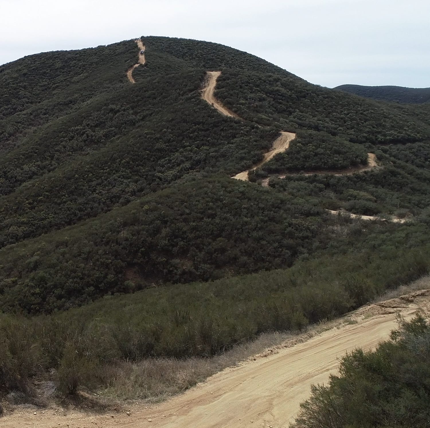
16E08 Las Chiches
Total Miles
2.9
Tech Rating
Moderate
Best Time
Spring, Summer, Fall, Winter
Learn more about 16S08 Fred Canyon Road
16S08 Fred Canyon Road
Total Miles
6.1
Tech Rating
Easy
Best Time
Spring, Winter

Learn more about 1N09 City Creek Trail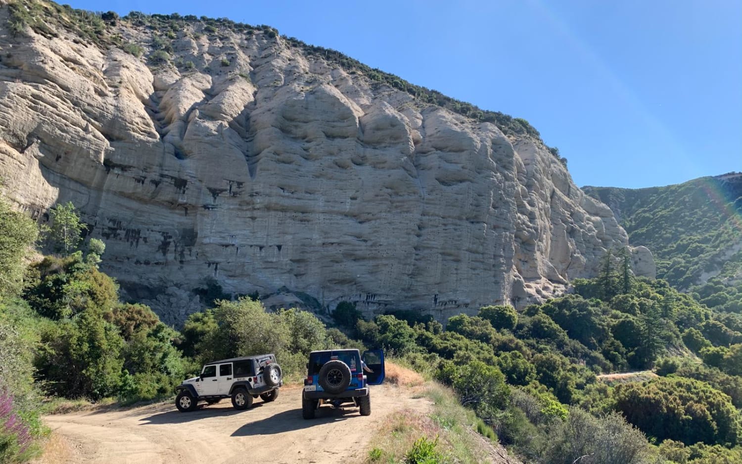
1N09 City Creek Trail
Total Miles
22.2
Tech Rating
Easy
Best Time
Spring, Summer, Fall

Learn more about 2N40 Cloudland Truck Trail
2N40 Cloudland Truck Trail
Total Miles
6.7
Tech Rating
Easy
Best Time
Spring, Summer, Fall

Learn more about 3N06A Cold Water Canyon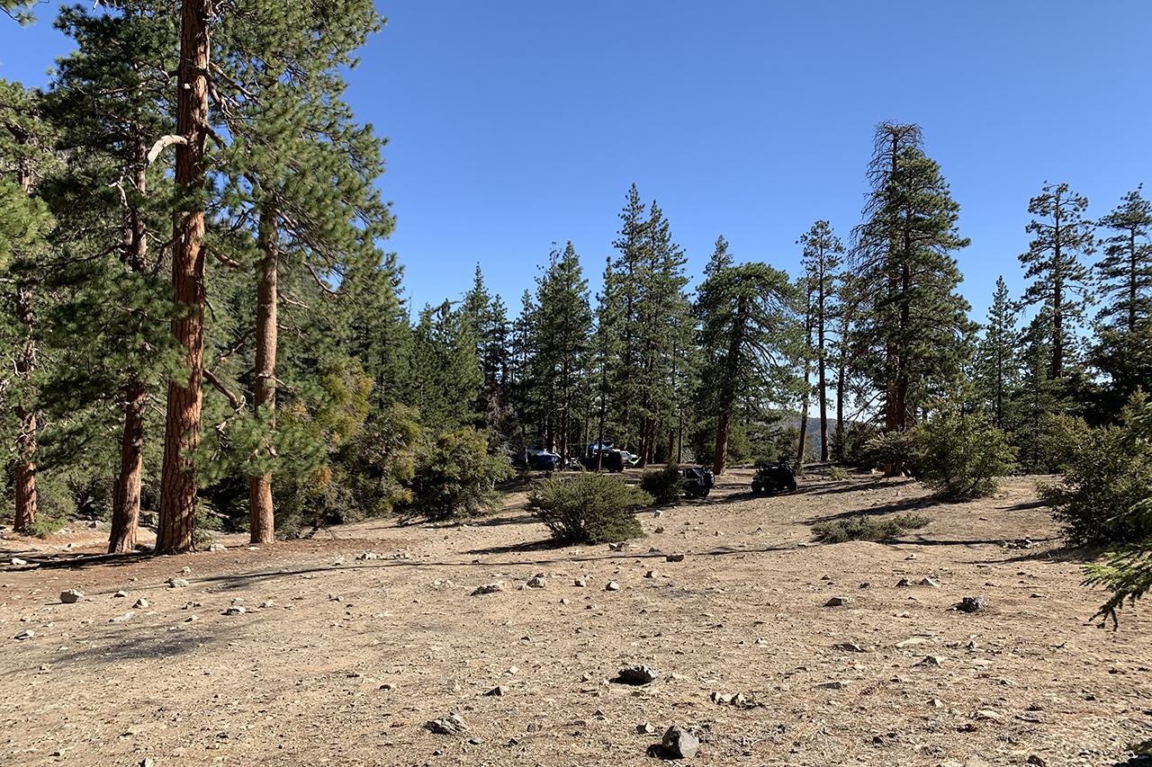
3N06A Cold Water Canyon
Total Miles
2.6
Tech Rating
Moderate
Best Time
Spring, Summer, Fall
Learn more about 3N07A - The Squeeze Trail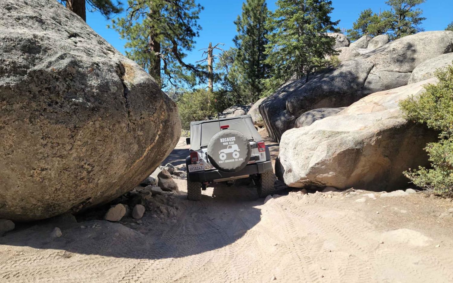
3N07A - The Squeeze Trail
Total Miles
1.3
Tech Rating
Moderate
Best Time
Spring, Summer, Fall

Learn more about 3N267 Fenner Saddle (4N12)
3N267 Fenner Saddle (4N12)
Total Miles
3.8
Tech Rating
Difficult
Best Time
Spring, Summer, Fall, Winter
Learn more about 3N69 Gold Mountain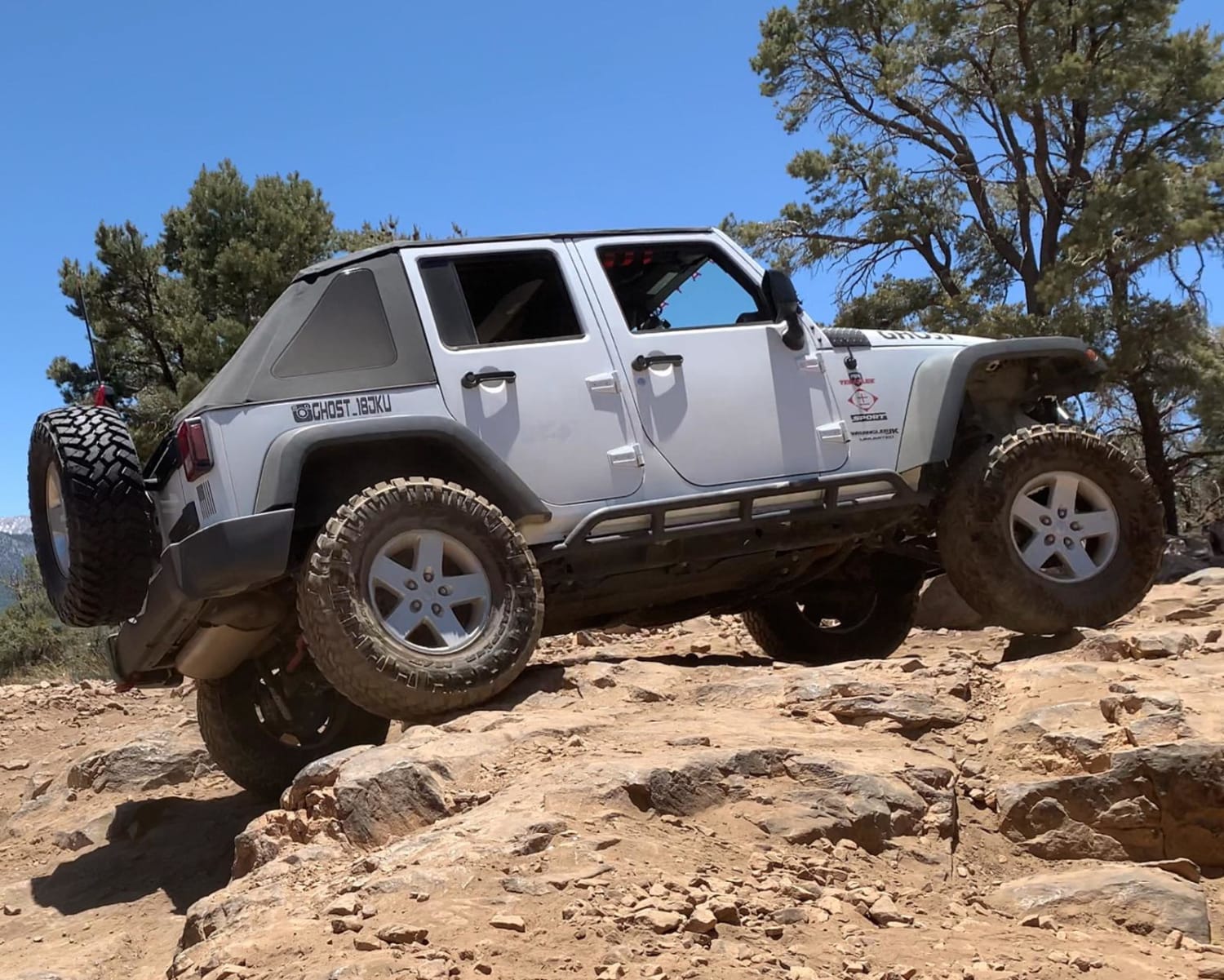
3N69 Gold Mountain
Total Miles
4.5
Tech Rating
Difficult
Best Time
Spring, Summer, Fall
Learn more about 3S04 Main Divide to Santiago Peak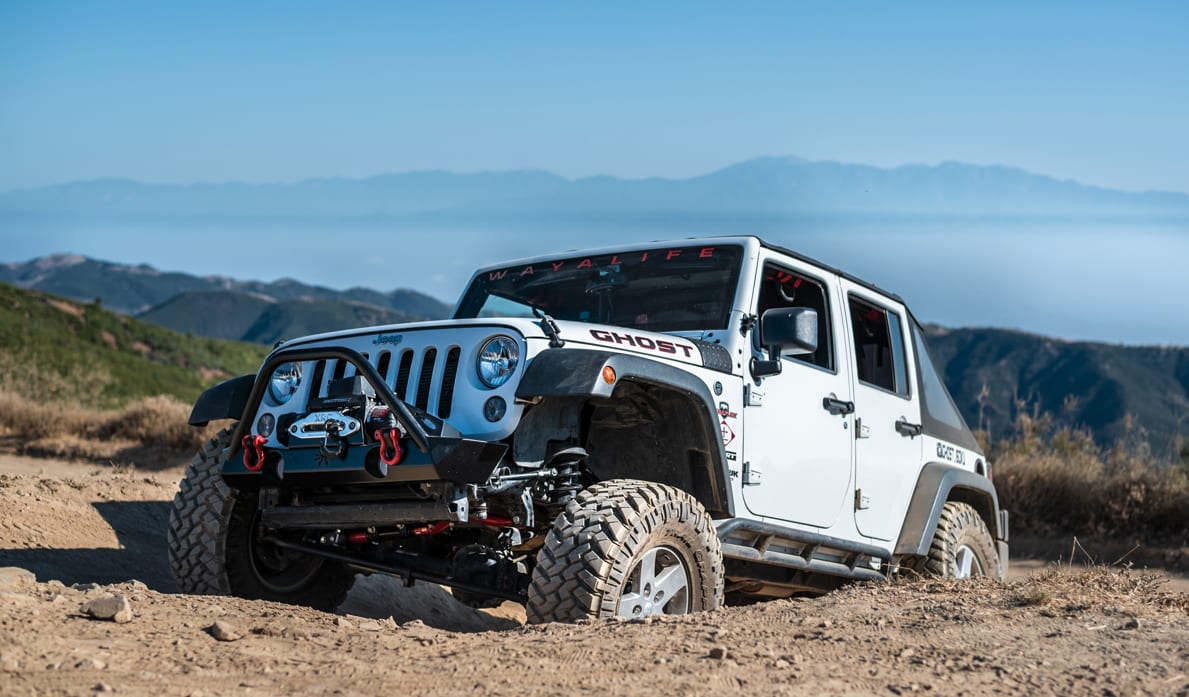
3S04 Main Divide to Santiago Peak
Total Miles
4.9
Tech Rating
Easy
Best Time
Spring, Summer, Fall

Viewing 20 of 834
The onX Offroad Difference
onX Offroad combines trail photos, descriptions, difficulty ratings, width restrictions, seasonality, and more in a user-friendly interface. Available on all devices, with offline access and full compatibility with CarPlay and Android Auto. Discover what you’re missing today!