Cloverdale Mine
Total Miles
7.6
Technical Rating
Best Time
Summer, Fall
Trail Type
High-Clearance 4x4 Trail
Accessible By
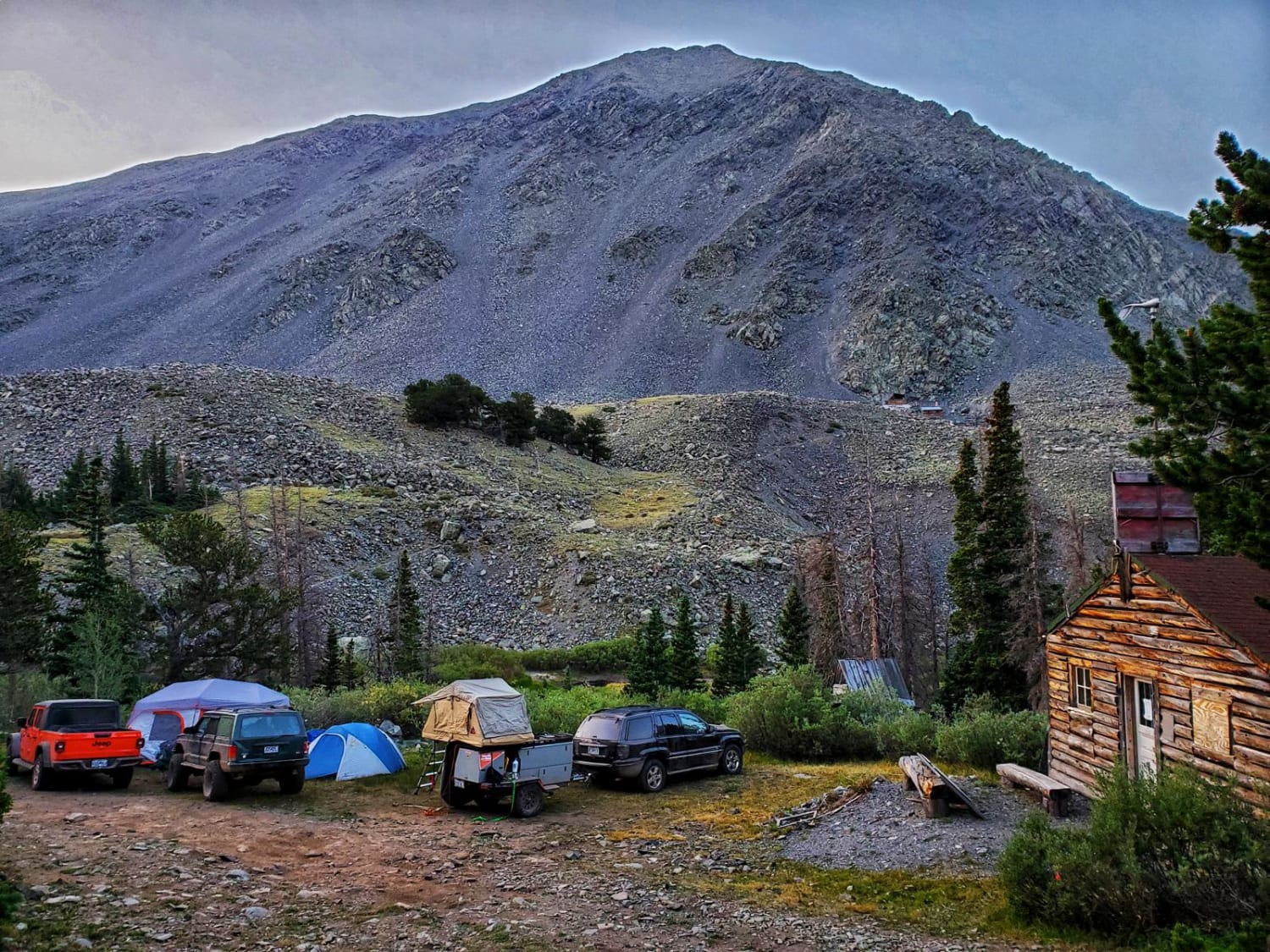
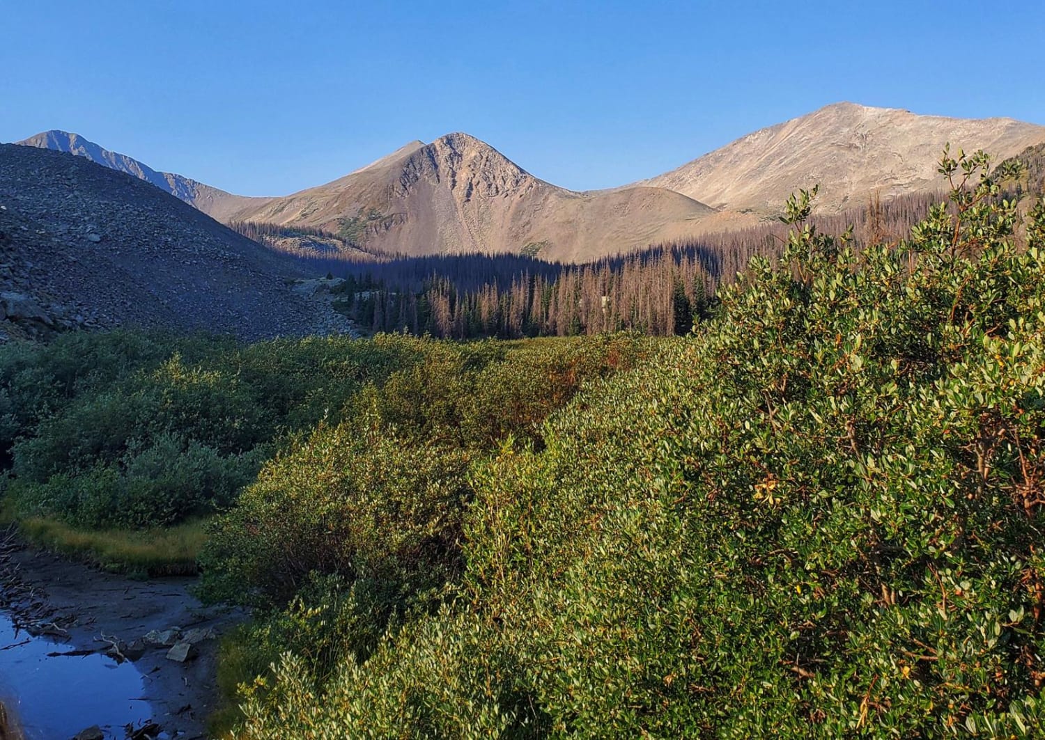
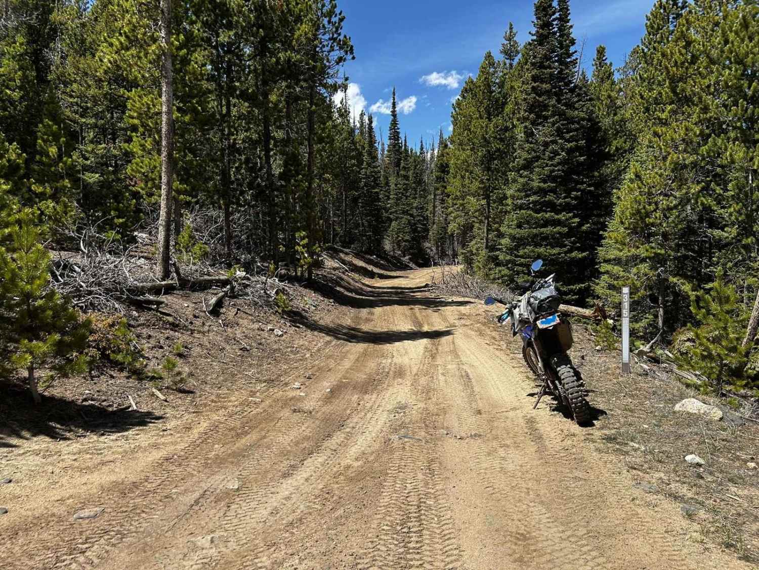
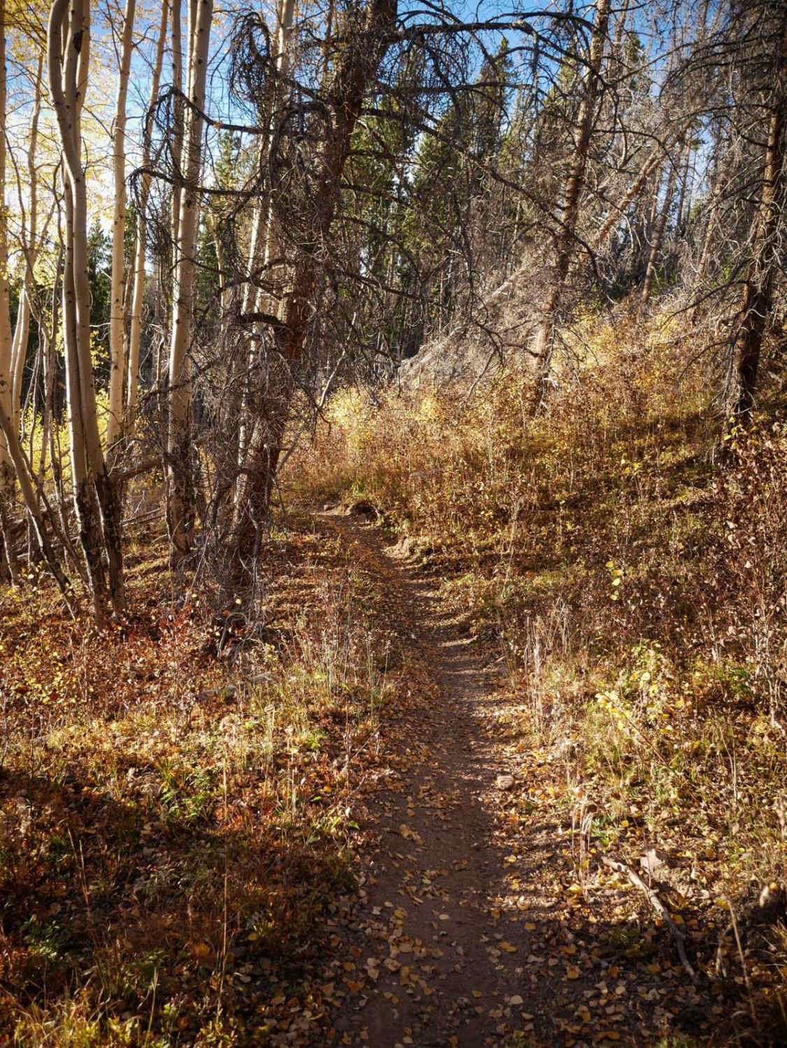
Trail Overview
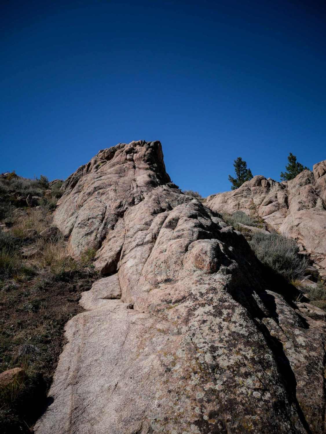
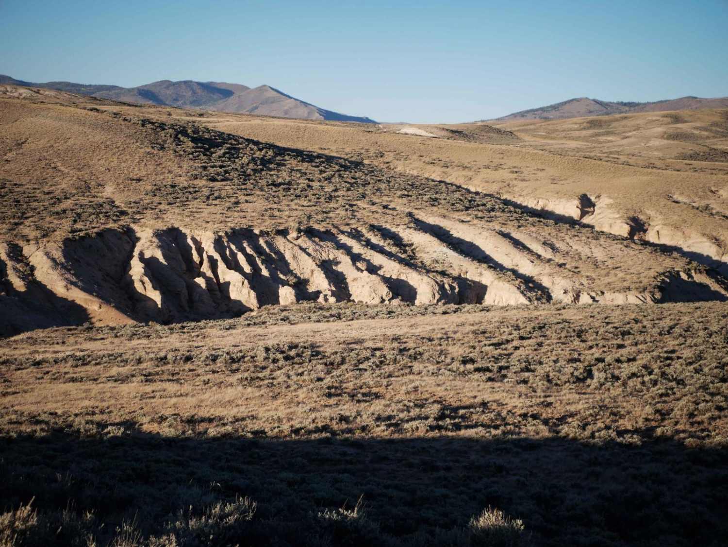
The road to Cloverdale Mine is a fun-filled drive with gorgeous, Rocky Mountain views, a glimpse of the rich mining history of Westcliffe, CO and a couple small spots that will require some technical driving skills. This rocky, 7.7-mile trail ends with a short hike to Cloverdale Mine. The out-and-back trail takes roughly 2-3 hours one way and ascends to above 11,400 feet with dispersed camping throughout. The numerous structures still standing along the trail tell the story of everyday life for the miners at this ghost town. The trail is moderately difficult, with small ledges and sizeable boulders throughout. There are some narrow shelf roads, and it can be muddy if it has rained recently. It is rocky and bumpy throughout, and there is a large boulder field towards the end of trail. Before the mining camp, there is a small ledge obstacle where tire placement becomes particularly important.
Photos of Cloverdale Mine
Difficulty
There are a few spots where spotting may be necessary over short ledges.
History
Erected in 1922 on National Forest Land, the Oakwood Mining Company primarily mined gold at this location from 1951-1960. Silver and lead can also be found at this mine. The gold and silver veins ran out quickly, so mining did not continue for long at this site. Though gold is still viable in the area and can be found in small amounts on the mountain, there are no plans to reopen the facility.
Status Reports
Cloverdale Mine can be accessed by the following ride types:
- High-Clearance 4x4
- SxS (60")
- ATV (50")
- Dirt Bike
Cloverdale Mine Map
Popular Trails
Pratt Creek Cutoff South
The onX Offroad Difference
onX Offroad combines trail photos, descriptions, difficulty ratings, width restrictions, seasonality, and more in a user-friendly interface. Available on all devices, with offline access and full compatibility with CarPlay and Android Auto. Discover what you’re missing today!