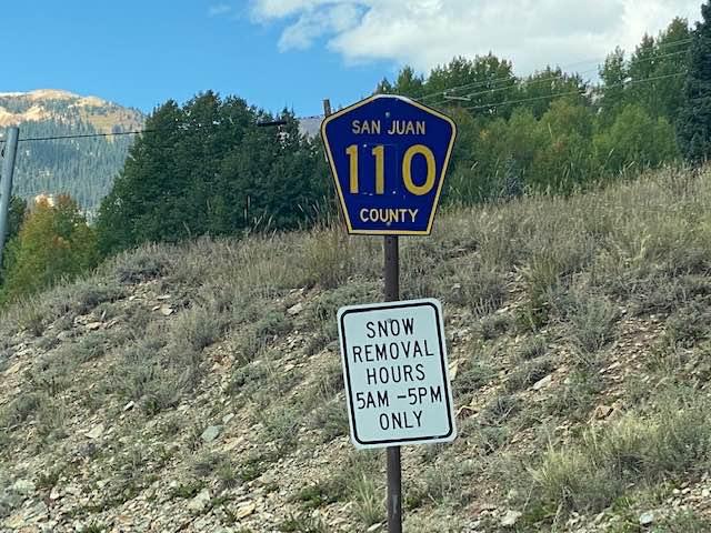
County Road 110
Total Miles
5.9
Technical Rating
Best Time
Spring, Summer, Fall, Winter
Trail Type
Full-Width Road
Accessible By
Trail Overview
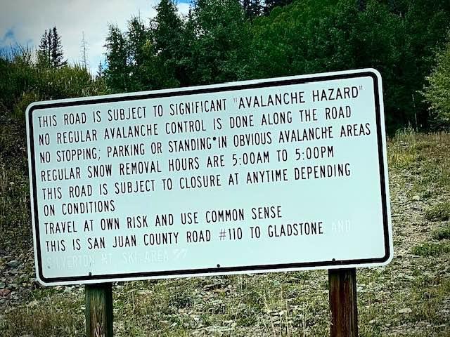
County Road 110 is a graded gravel road open most of the year with snow plowing in winter months. It starts in Silverton and heads north ending at the site of the Sunnyside Mine ruins and the beginning of County Road 10 which is much different in makeup. It is an alternate way to get to the Alpine Loop over County Rd 3 which leads to Animas Forks and Engineer Pass. Taking City Road 10 from here leads to Corkscrew Gulch and Hurricane Pass Trails. Also leads to a ski area north of Silverton.
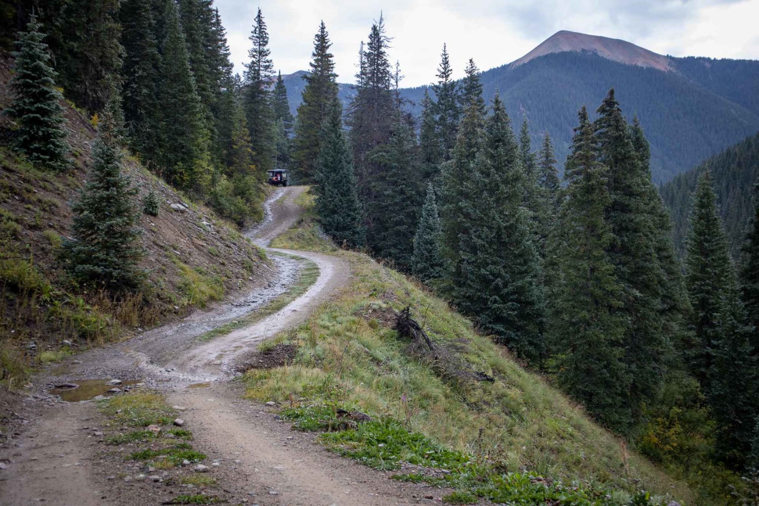
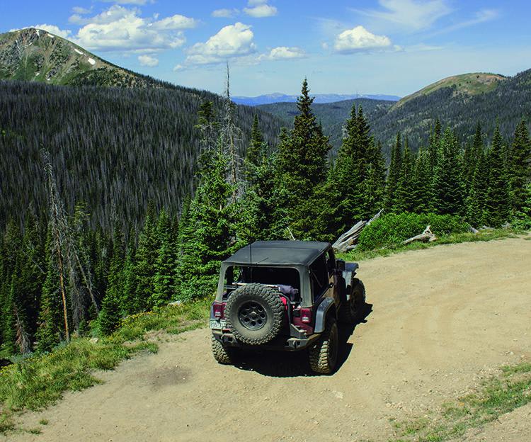
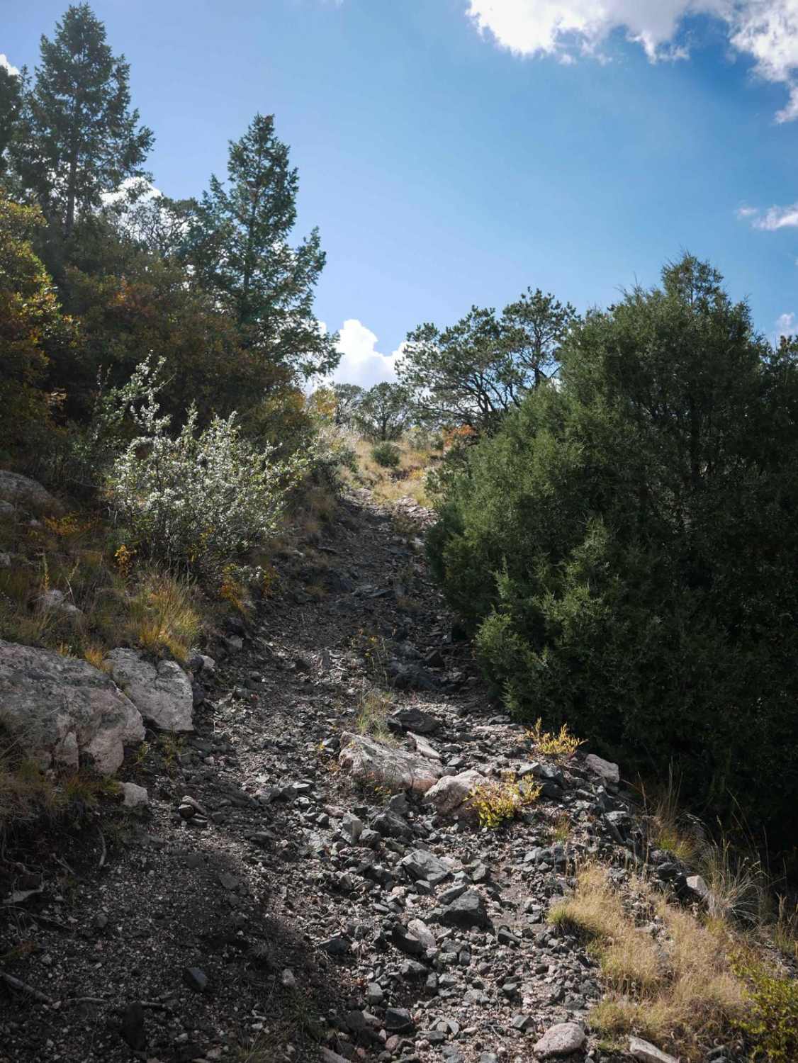
Photos of County Road 110
Difficulty
This is a graded and maintained gravel road.

Popular Trails
Middle Fork Mineral Creek

Little Dolores Canyon
The onX Offroad Difference
onX Offroad combines trail photos, descriptions, difficulty ratings, width restrictions, seasonality, and more in a user-friendly interface. Available on all devices, with offline access and full compatibility with CarPlay and Android Auto. Discover what you’re missing today!