Red Cone
Total Miles
6.0
Technical Rating
Best Time
Summer
Trail Type
Full-Width Road
Accessible By
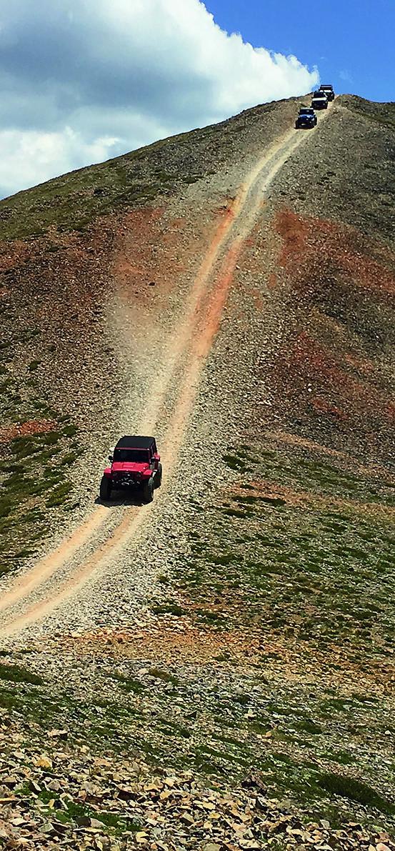
Trail Overview
Red Cone is one of the most iconic trails in Colorado. It begins with an intermittently muddy and rocky trail uphill as you navigate to the timberline. After a couple of steep sections, you can continue to climb up and ride along the narrow trail along the crest of the mountain tops until you reach the peak of Red Cone. There is a sign and often a flag. Take in the scenery and the view at this point is stunning. At this point is your last chance to turn around. Once you start the descent, you will be on a one-way trail. From here, the trail starts to make a series of steep descents. You should be in the lowest gear possible and stay light on your brake usage. The trail comes to a conclusion at Webster Pass. This trail requires a Colorado OVH Sticker.
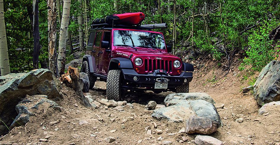
Photos of Red Cone
Difficulty
Red Cone is very rocky as you navigate up through the Timberline. The ascents are not nearly as challenging as the descents.
Status Reports
Red Cone can be accessed by the following ride types:
- High-Clearance 4x4
- SUV
Red Cone Map
Popular Trails

Jefferson Lake Road
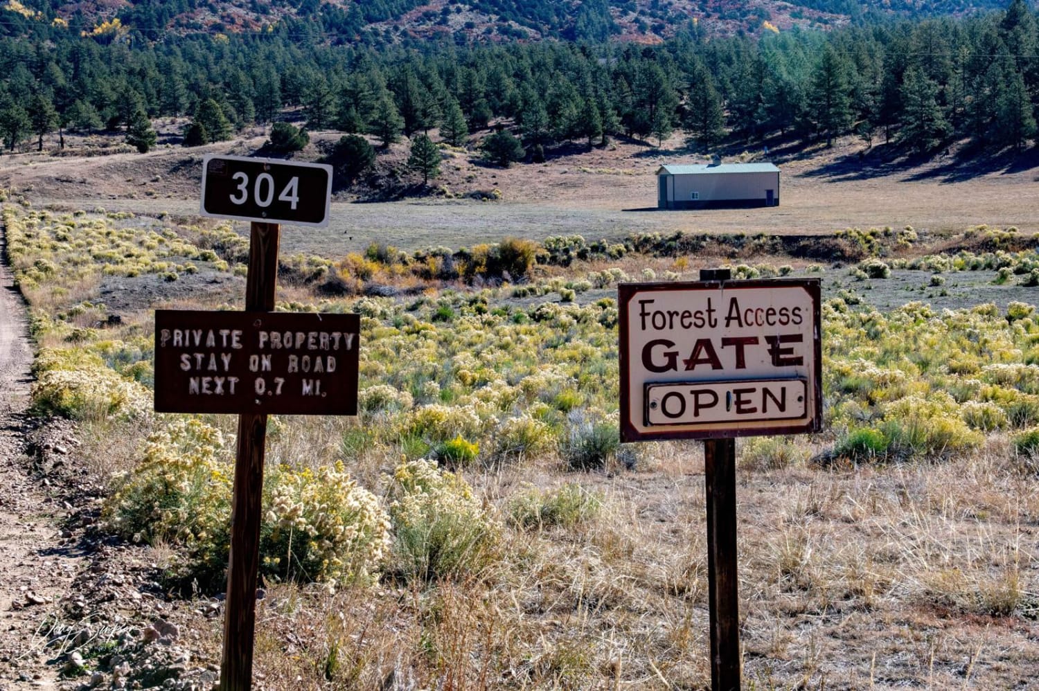
Bear Gulch Road FR 304
The onX Offroad Difference
onX Offroad combines trail photos, descriptions, difficulty ratings, width restrictions, seasonality, and more in a user-friendly interface. Available on all devices, with offline access and full compatibility with CarPlay and Android Auto. Discover what you’re missing today!