Top of the World
Total Miles
1.6
Technical Rating
Best Time
Spring, Summer, Fall
Trail Type
Single Track
Accessible By
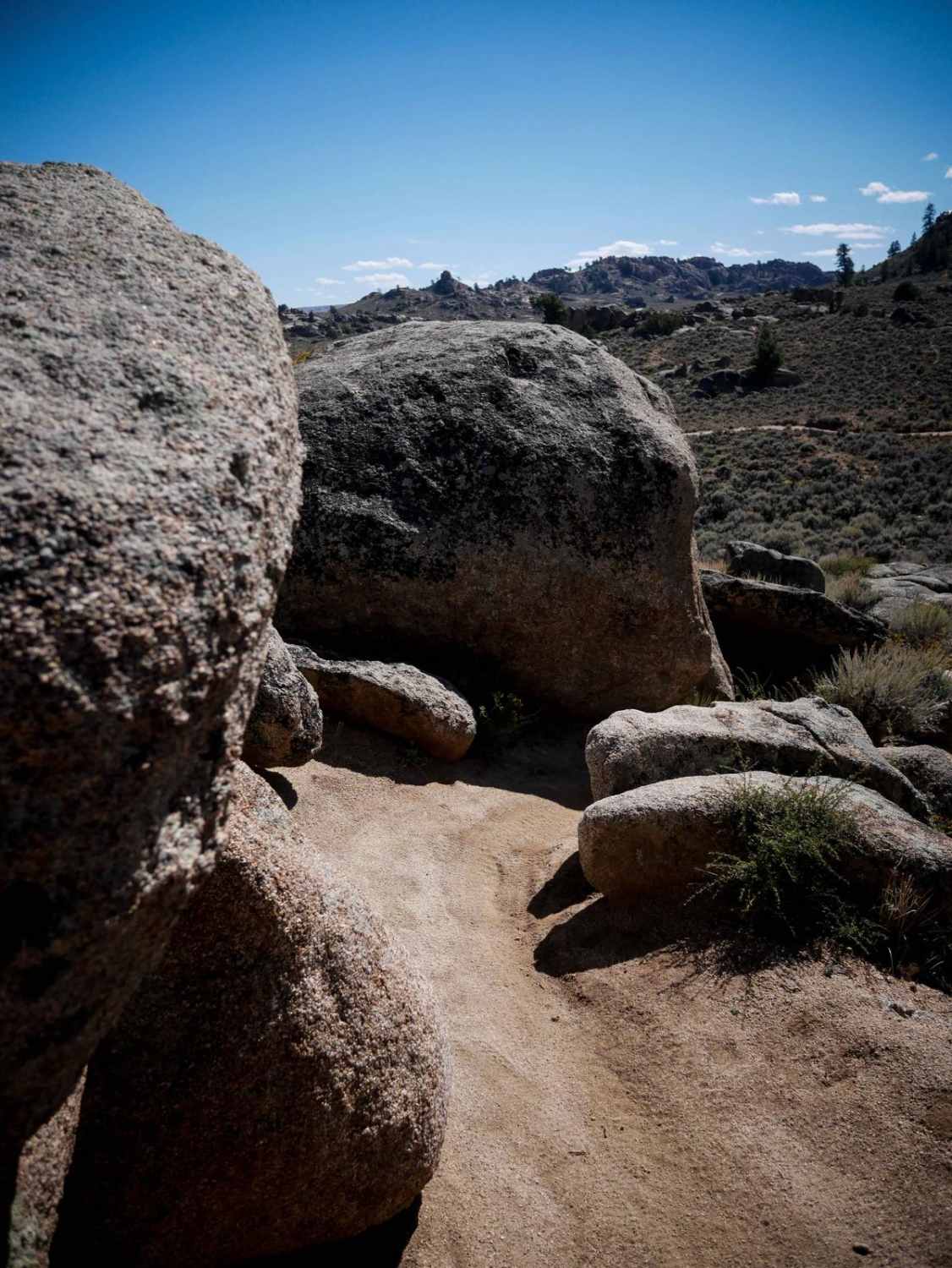
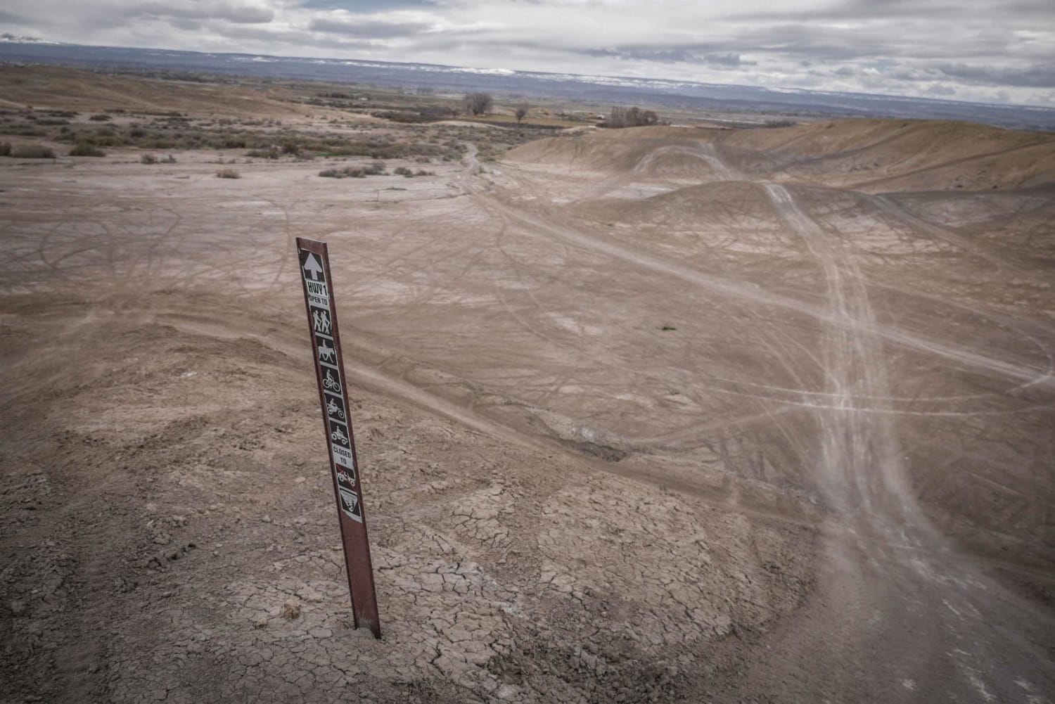
Trail Overview
Top of the World is a fun single track in Hartman Rocks that has several moderate rock features, along with fast sections through sagebrush. It's a pretty wide trail that gets heavy use, being pretty close to the staging area and camping areas. The east end starts in the flat valley, curving through sagebrush, and dipping in and out of ravines. It comes up to some rock slab, like big long ramps, that have plenty of traction. The unique part of the trail is when it goes through a couple of narrow spots between giant boulders, making it really scenic. Although a lot of the trail is smooth and fast, there are plenty of spots with some loose chunks of rock littering the trail, and embedded flat slab rock that you have to ride over. Some of the bigger sections of the slab rock have small ledges, about a foot tall, uneven, and off-camber, but they are not overly difficult.
Photos of Top of the World

Difficulty
This is an intermediate trail as there are rock pinches and rock slab ledge obstacles that are moderate difficulty, but should be manageable by any experienced rider.
Status Reports
Top of the World can be accessed by the following ride types:
- Dirt Bike
Top of the World Map
Popular Trails
Buffalo Peaks Road - 431
Shaeffer Dam Loop - BLM#6102K
Highway One (Part Two)
The onX Offroad Difference
onX Offroad combines trail photos, descriptions, difficulty ratings, width restrictions, seasonality, and more in a user-friendly interface. Available on all devices, with offline access and full compatibility with CarPlay and Android Auto. Discover what you’re missing today!