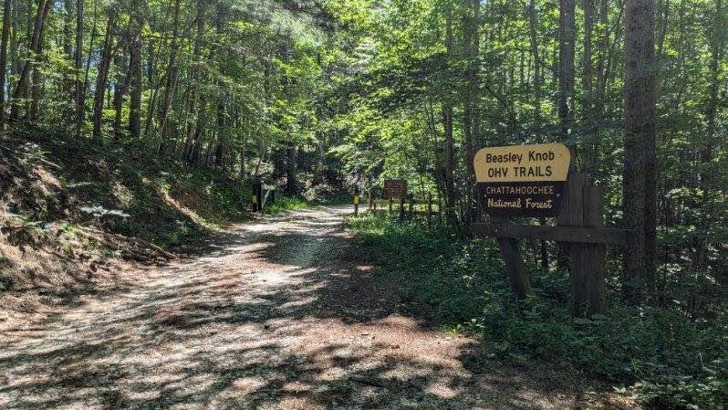
Beasley Knob Trail 93G
Total Miles
2.7
Technical Rating
Best Time
Spring, Summer, Fall
Trail Type
Full-Width Road
Accessible By
Trail Overview
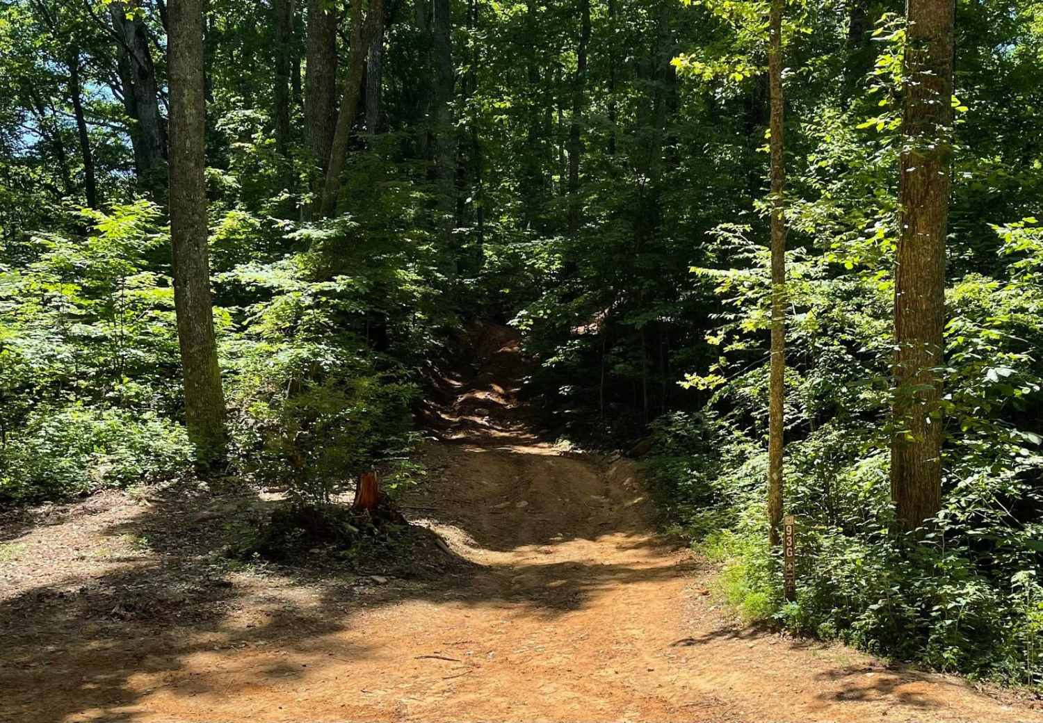
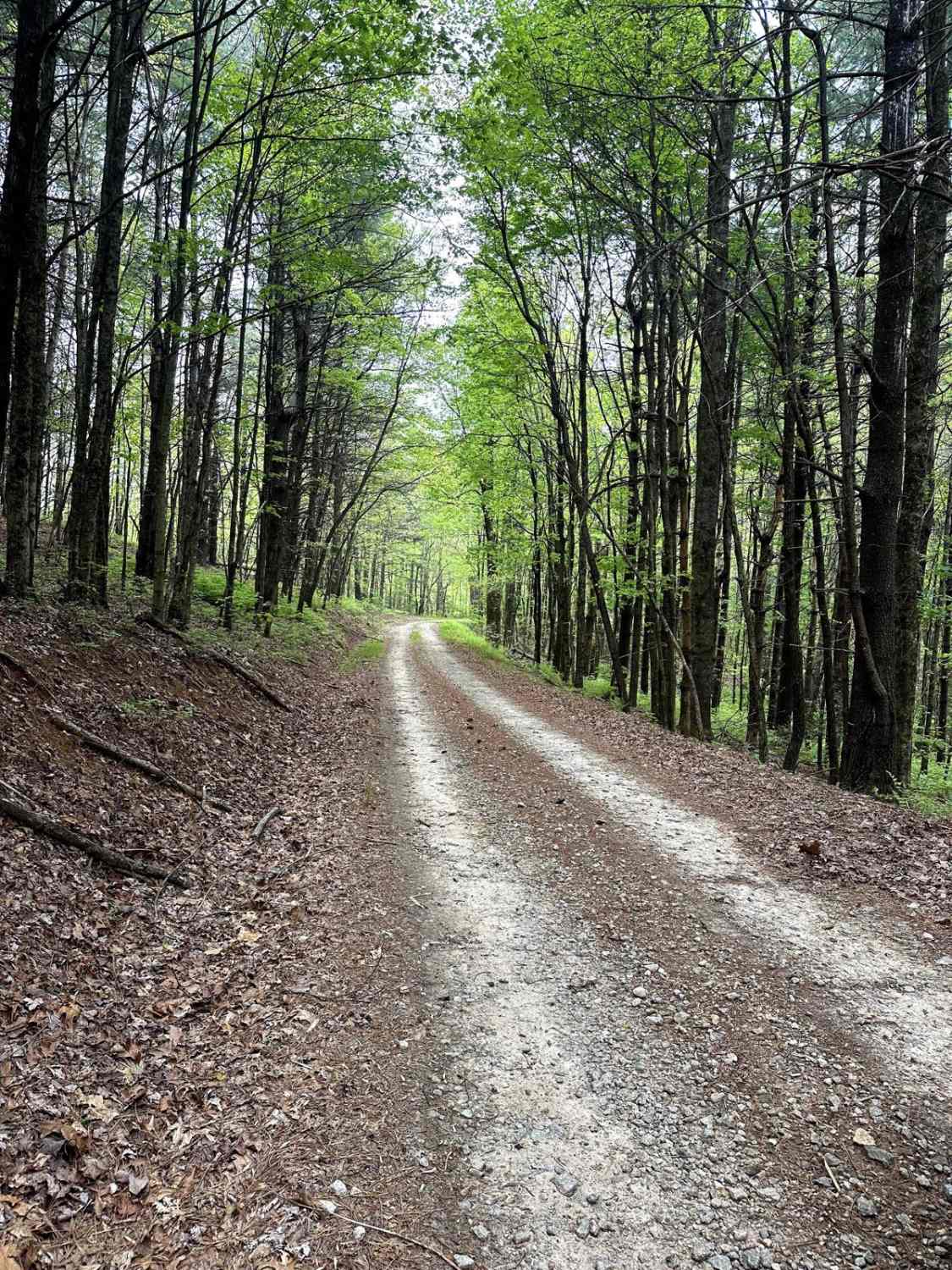
Beasley Knob OHV's Trail 93G is located in the Chattahoochee National Forest just a few minute's ride outside the picturesque mountain city of Blairsville, Georgia. Trail 93G, also known as Nelson Cove, is one of the more difficult of the eight trails in this 13.4-mile network. The trail is part of the Jeep Badge of Honor program and different sources rate the trail difficulty a 7-9 out of 10. The trailhead is located at a clearing where 93G, 93C, and 93D converge. The trail begins with a steep, hilly incline complicated with red clay, rocks, and off-camber climbs up to the peak at 2,917 feet. The top of Beasley Knob has a large level area to enjoy a picnic and a beautiful view of the surrounding areas during the winter and fall. The downhill drive is a series of steep declines, off-camber turns, rocks, slippery Georgia clay, and standing water at times. The trail will eventually begin to level out to a curvy, hard-packed clay road with embedded gravel and bordered by wild blackberry bushes. Trail 93G continues until an open clearing where it converges with 93D again. Full-width vehicles, ATVs, and SXSs are allowed. Full-width vehicles will need high clearance; 37-inch tires minimum, locking differentials, and a winch are recommended. Plan for this trail to quickly become one of the most difficult of the system after any amount of rain. Cell service is good anywhere in the trail network. The trail is a pleasurable ride due to the shade provided by the thick forest canopy during the summer. Plan for a minimum of one hour to tackle 93G. This trail is very well known and you will encounter many vehicles along the trail system. A $5.00 day pass is required and can be purchased at either of the parking areas within the trail system or at RECREATION.gov.
Photos of Beasley Knob Trail 93G
Difficulty
Steep inclines, off-camber turns and a slick clay-based surface increase the difficulty of this trail. Several portions have deep ruts, large stones, and trees at critical transition points.

Popular Trails

Moss Hill - FSR 28B
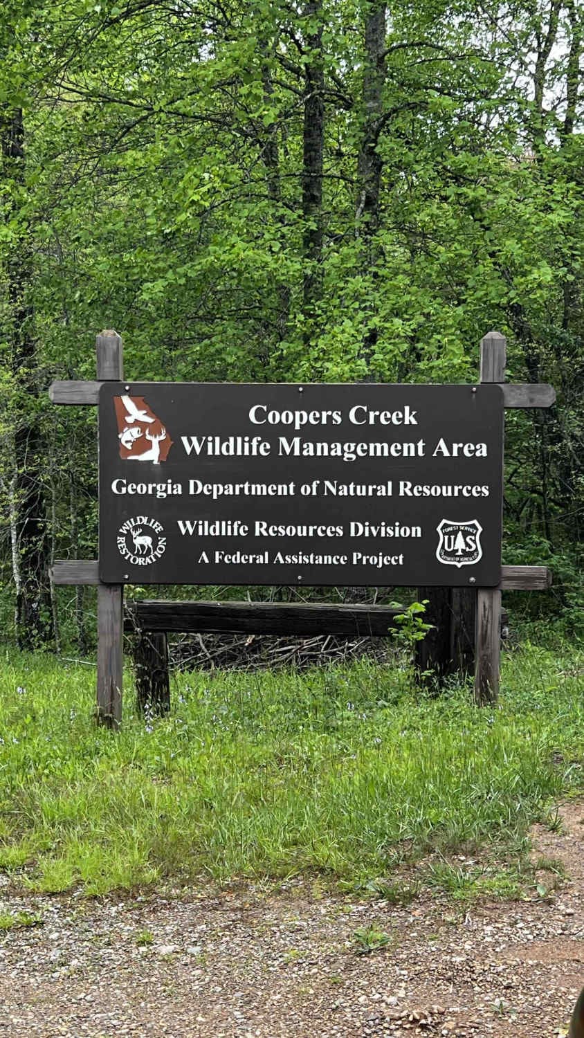
Cooper Creek FS Road 33
The onX Offroad Difference
onX Offroad combines trail photos, descriptions, difficulty ratings, width restrictions, seasonality, and more in a user-friendly interface. Available on all devices, with offline access and full compatibility with CarPlay and Android Auto. Discover what you’re missing today!