Noontootla
Total Miles
8.1
Technical Rating
Best Time
Spring, Summer, Fall, Winter
Trail Type
Full-Width Road
Accessible By
Trail Overview
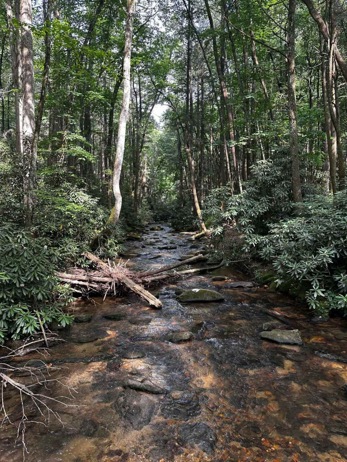
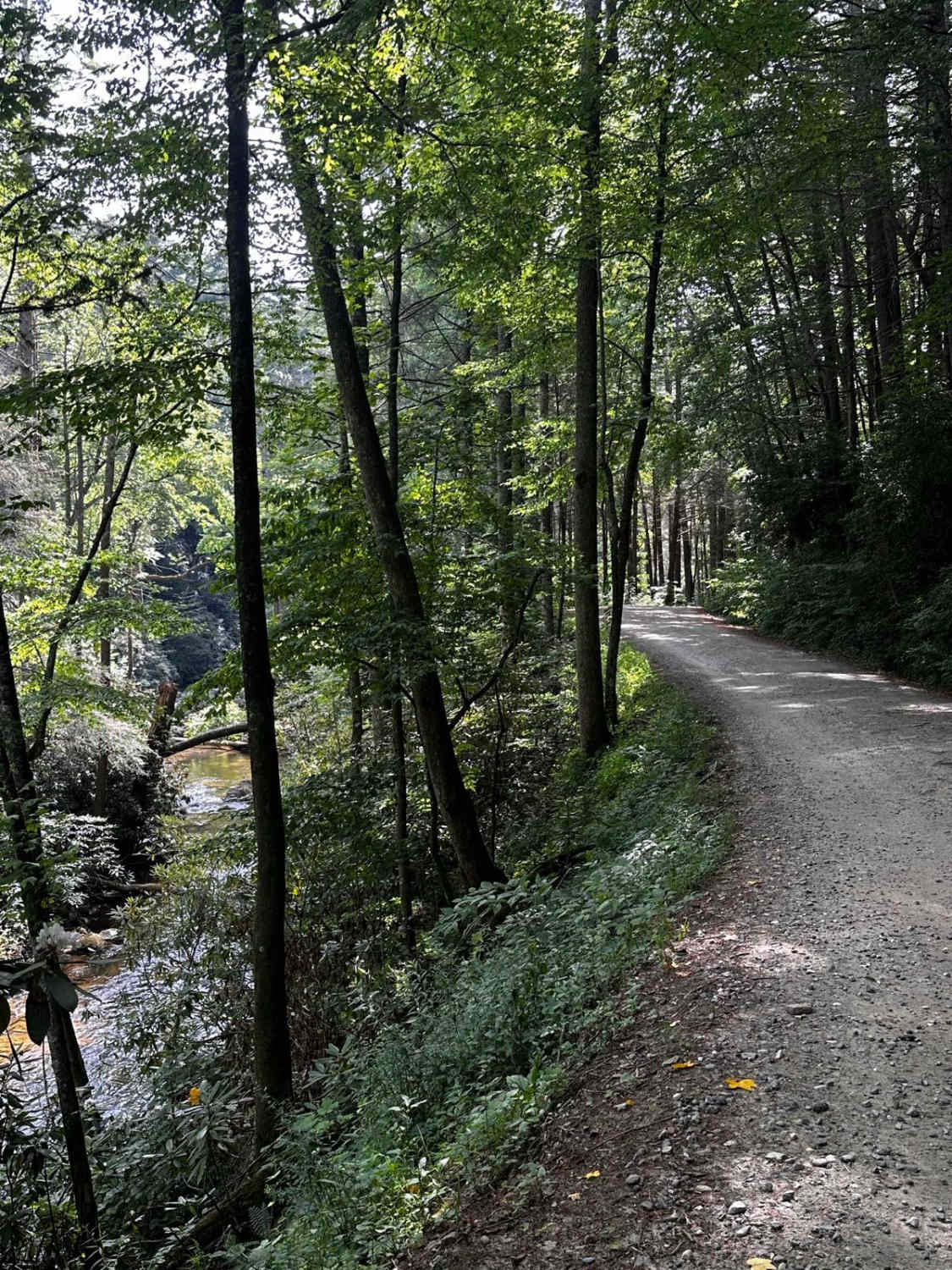
If you are looking for group camping opportunities alongside a rushing creek, this is your trail! This route is very beginner-friendly, consisting mostly of loose gravel and dirt. Many families and larger groups car camp in designated areas along the creek on the west side of the road. Be sure to arrive early if you are interested in camping, as these spots can fill up quickly in the warmer seasons. Chester Creek and Noontootla Creek provide ample opportunities to explore water features close to camp. If you are looking to hike, the Appalachian Trail also passes through at coordinates (34.66351, -84.18407). There are many areas to turn around if needed, as most of the trail is wide enough for two vehicles. Be sure to respect the designated camping signs posted alongside the trail if you are interested in camping.
Photos of Noontootla
Difficulty
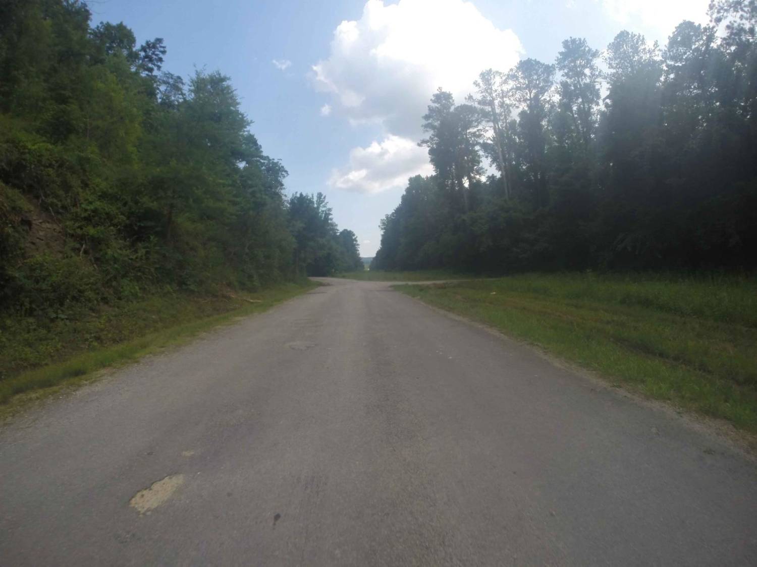
Most of this trail is composed of loose gravel and dirt with very minor ruts. Ninety percent of the trail is wide enough for two vehicles, with little elevation change throughout its duration.
Status Reports
Noontootla can be accessed by the following ride types:
- High-Clearance 4x4
- SUV
- SxS (60")
- ATV (50")
- Dirt Bike
Noontootla Map
Popular Trails
Ann's Gap - Oakley Mountain OHV

West Seed Lake Road
Manning Mill Road - Forest Road 227
The onX Offroad Difference
onX Offroad combines trail photos, descriptions, difficulty ratings, width restrictions, seasonality, and more in a user-friendly interface. Available on all devices, with offline access and full compatibility with CarPlay and Android Auto. Discover what you’re missing today!
