Postelle
Total Miles
2.7
Technical Rating
Best Time
Winter
Trail Type
60" Trail
Accessible By
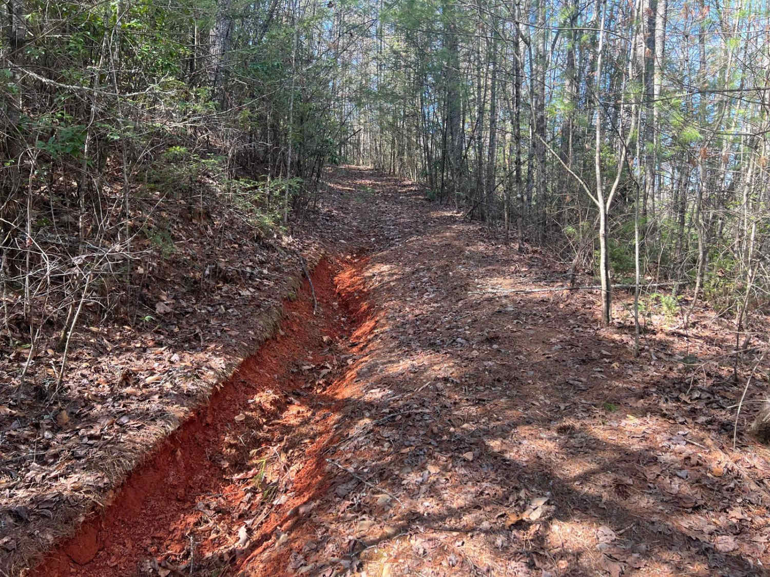
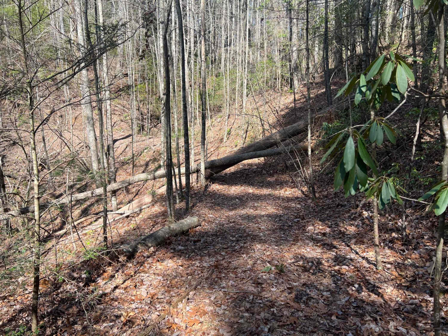
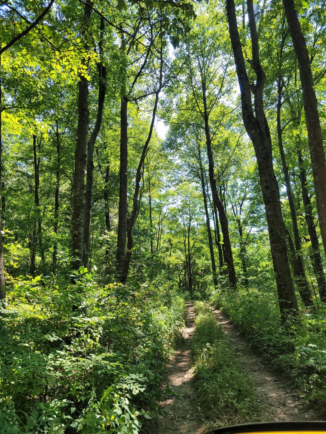
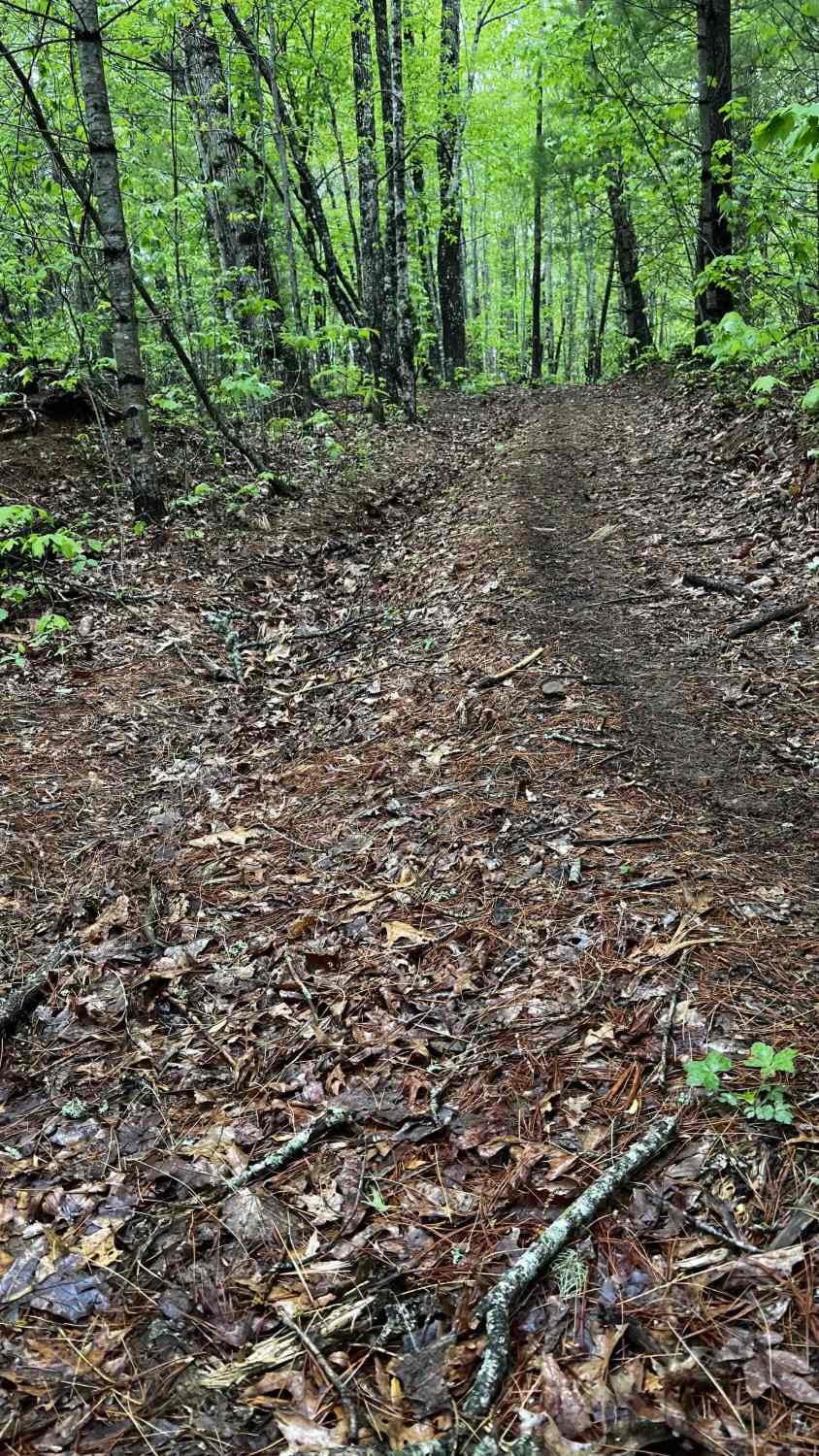
Trail Overview
The Postelle Trail is an out-and-back route in the Chattahoochee National Forest within Fannin County, Georgia. This trail is defined by its single-lane path, which is rarely traversed and has become overgrown, rendering it unsuitable for full-sized vehicles. The narrow trail accommodates only one vehicle width and lacks designated passing areas. Users should be cautious of certain sections that have suffered washouts, potentially leading to significant trail damage. Approximately three-quarters of the way to the end, two large trees completely block the trail, with no bypass options available, thus eliminating any chance for a turnaround. It remains unclear whether a turnaround is possible at the trail's endpoint. The indicated completion time refers to the total duration required for the round trip, starting and ending at F.S. Road.
Photos of Postelle
Difficulty
The area is very narrow and lacks a turnaround space. It is recommended solely for side-by-sides (SxS), all-terrain vehicles (ATV), and motorcycles.
Status Reports

Popular Trails

Cooper's Gap
Cohutta Wilderness
Flatlands FS Road 637

Hickorynut Gap - FSR 797
The onX Offroad Difference
onX Offroad combines trail photos, descriptions, difficulty ratings, width restrictions, seasonality, and more in a user-friendly interface. Available on all devices, with offline access and full compatibility with CarPlay and Android Auto. Discover what you’re missing today!