Polihale Beach Trail
Total Miles
5.2
Technical Rating
Best Time
Spring, Summer, Fall, Winter
Trail Type
Full-Width Road
Accessible By
Trail Overview
Beach access dirt road for the Polihale State Park. The trail has few spurs to the beach, and the best view is at the end. It shaded day-use areas. This is the westernmost tip of the island. Day use and camping (by permit). At the end of the trail is the beginning of the beautiful Napali Coast.
Photos of Polihale Beach Trail
Difficulty
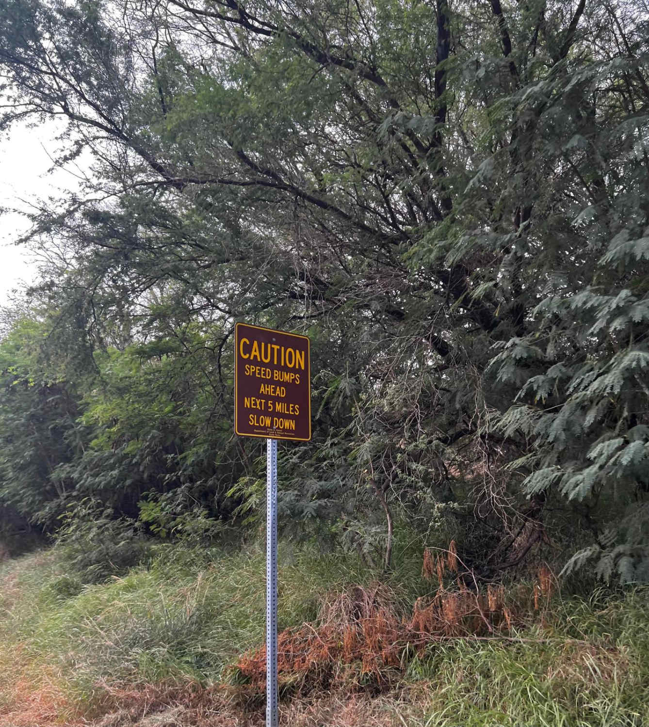
Lots of ruts, pot holes and sandy spots along the trail. It can be muddy at times after it rains.
Status Reports
Polihale Beach Trail can be accessed by the following ride types:
- High-Clearance 4x4
- SUV
- Dirt Bike
Polihale Beach Trail Map
Popular Trails

Mauna Kea Summit

Polihale Beach Trail

Kauhao Ridge Trail
The onX Offroad Difference
onX Offroad combines trail photos, descriptions, difficulty ratings, width restrictions, seasonality, and more in a user-friendly interface. Available on all devices, with offline access and full compatibility with CarPlay and Android Auto. Discover what you’re missing today!

