510
Total Miles
3.6
Technical Rating
Best Time
Fall, Spring, Summer
Trail Type
Single Track
Accessible By
Trail Overview
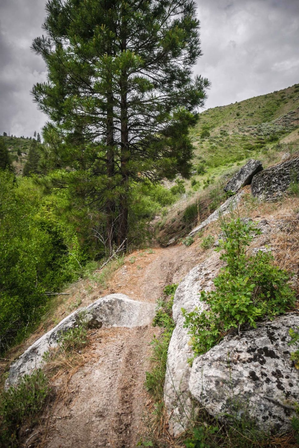
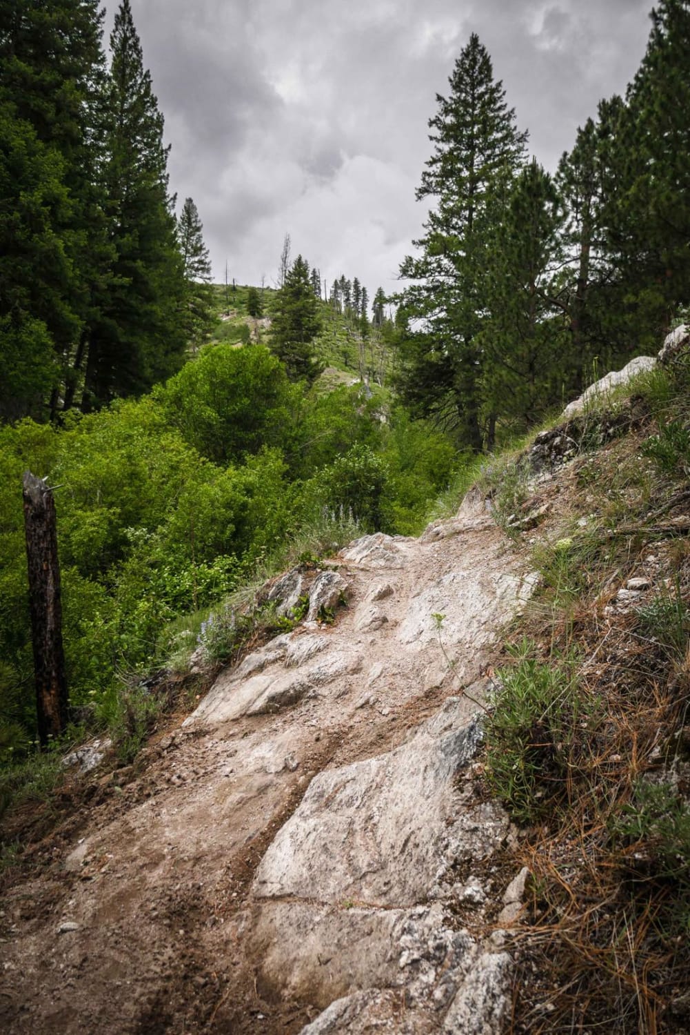
This fun and challenging single track goes through a dry low alpine terrain with tall grass, lots of overgrown shrubs, and sparsely separated coniferous trees with lots of pine needles on the ground. It's a narrow dirt trail that side-hills along the bottom of a mostly wide open hillside above a ravine, but the brush along the ravine is very thick. It has mild exposure because the trail is so narrow with a slope to the side of it, but isn't much of a drop-off to the side. The trail is mostly smooth and rock-free except for a few specific rock obstacles. The obstacles are like the face of a rock or boulder that you have to get over in the middle of the trail. With it being so narrow with a drop off to the side, this could be tricky for the inexperienced rider or those not used to trails in Idaho being so narrow on a ledge like this. The obstacles are moderate difficulty, more like the face of a rock rather than a big ledge up. The trail goes through several thick overgrown tree sections where visibility is limited and you have to duck for branches. It has lots of blind corners as it goes around each hillside, and several tight turns as it doubles back between each hill. This is a very busy riding area on weekends and weekdays so you have to keep your eyes up especially around the blind corners and through the brush sections. It intersects with ATV trails 502 and 503, and there is a section of 510 ATV trail that connects the two segments of single track. After the intersection, it has 3 or 4 creek crossings and climbs up to intersect with ATV 500. All trails are well-marked in this system.
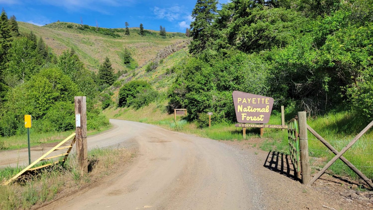
Photos of 510
Difficulty
The difficulty is due to a narrow trail, moderate rock obstacles, and overgrown wooded sections with poor visibility.
510 can be accessed by the following ride types:
- Dirt Bike
510 Map
Popular Trails

FR 09 - Mann Creek

East Fork Rd - Perkins-Morris Grove

Pahisimaroi Connection
The onX Offroad Difference
onX Offroad combines trail photos, descriptions, difficulty ratings, width restrictions, seasonality, and more in a user-friendly interface. Available on all devices, with offline access and full compatibility with CarPlay and Android Auto. Discover what you’re missing today!


