Auxor Mine Route
Total Miles
8.6
Technical Rating
Best Time
Summer
Trail Type
Full-Width Road
Accessible By
Trail Overview
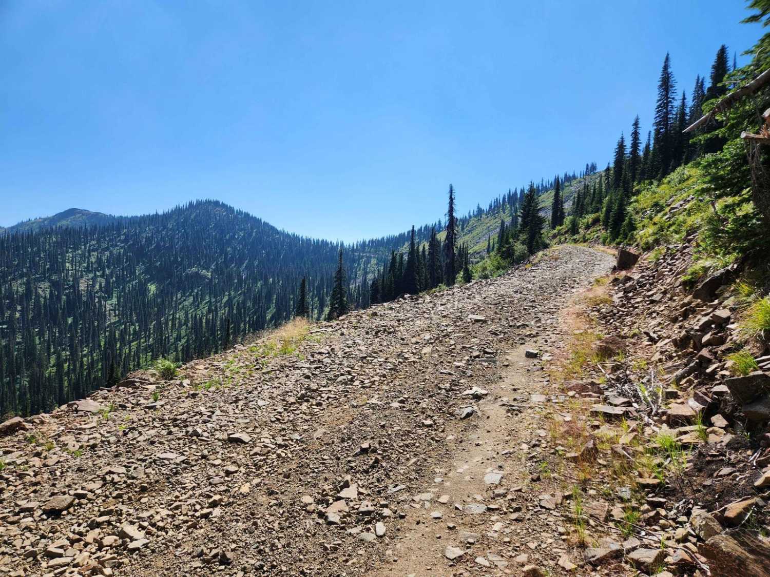
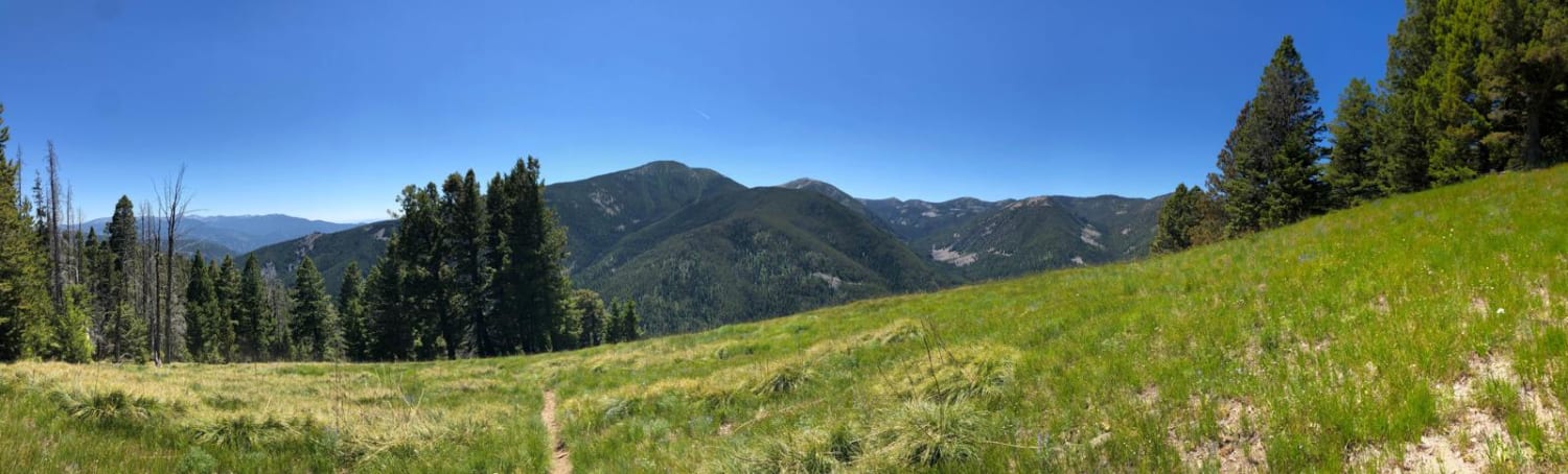
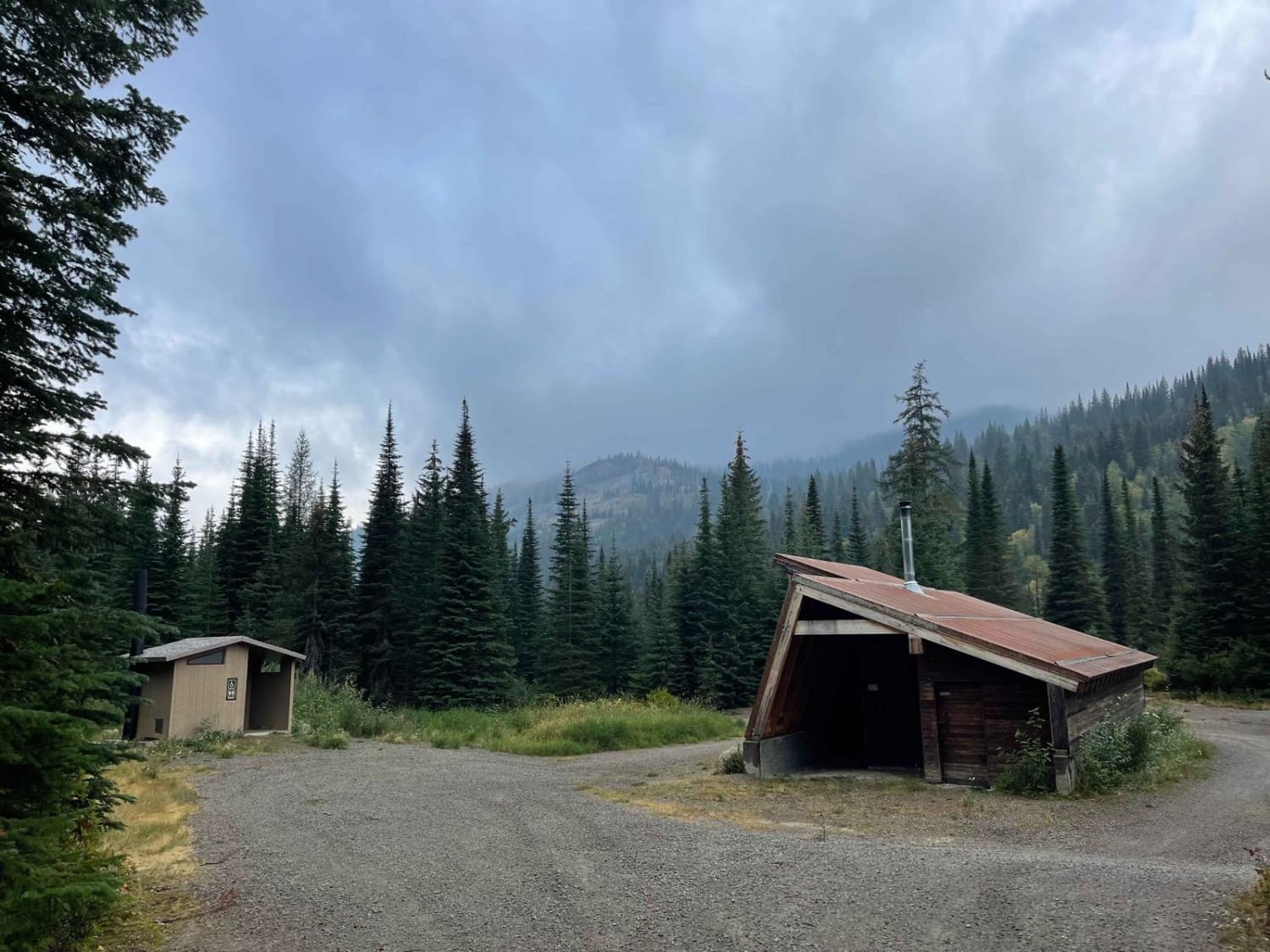
The Auxor Mine Route is USFS #489 and is a moderately trafficked leisurely mountain drive route that takes you from Lightning Creek, USFS #419 west in the Cabinet Mountains to the crest above East Hope, Idaho overlooking Lake Pend Oreille. The gradual gravel ascent has a few switchbacks, as well as shelf ledges in places, and is subject to rock falls higher in the route. There are multiple offshoot trails with some camping spots, as well as an OHV loop on the east side which has the official Auxor Mine, and another OHV route from the top down the west side to the town of East Hope which also has a hard rock mine shaft next to the trail. There is also Round Top Mountain within a short hike to the north of the crest of the route. The forested area is abundant in Huckleberries with deer and the occasional bear in the area. There is occasional logging and fires in the area, so be alert to signs that will indicate closures.
Photos of Auxor Mine Route

Difficulty
The route is a mild-grade gravel and dirt road that has been recently maintained and is easily driven by any vehicle.
Status Reports
Auxor Mine Route can be accessed by the following ride types:
- High-Clearance 4x4
- SUV
- SxS (60")
- ATV (50")
- Dirt Bike
Auxor Mine Route Map
Popular Trails

Bighorn Point
Divide Trail #106 to Twin Creek Ridge Trail
Gray's Lake Outlet
Moose Creek Trailhead
The onX Offroad Difference
onX Offroad combines trail photos, descriptions, difficulty ratings, width restrictions, seasonality, and more in a user-friendly interface. Available on all devices, with offline access and full compatibility with CarPlay and Android Auto. Discover what you’re missing today!