Big Hazard ATV
Total Miles
1.3
Technical Rating
Best Time
Summer, Fall
Trail Type
50" Trail
Accessible By
Trail Overview
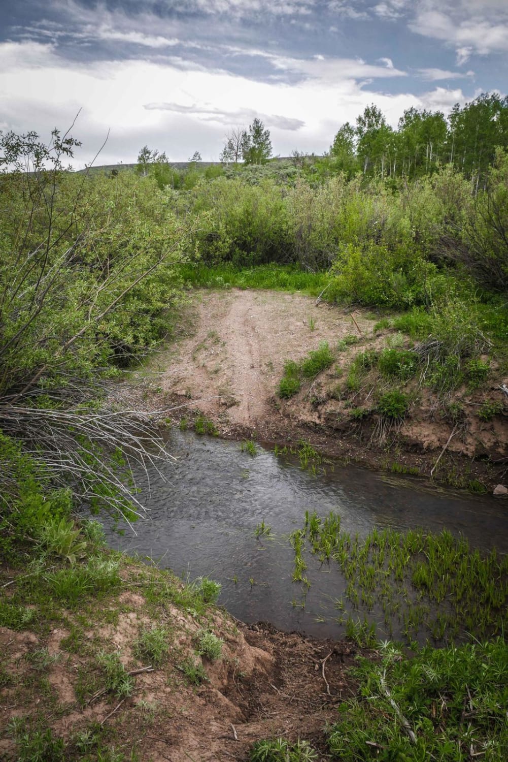
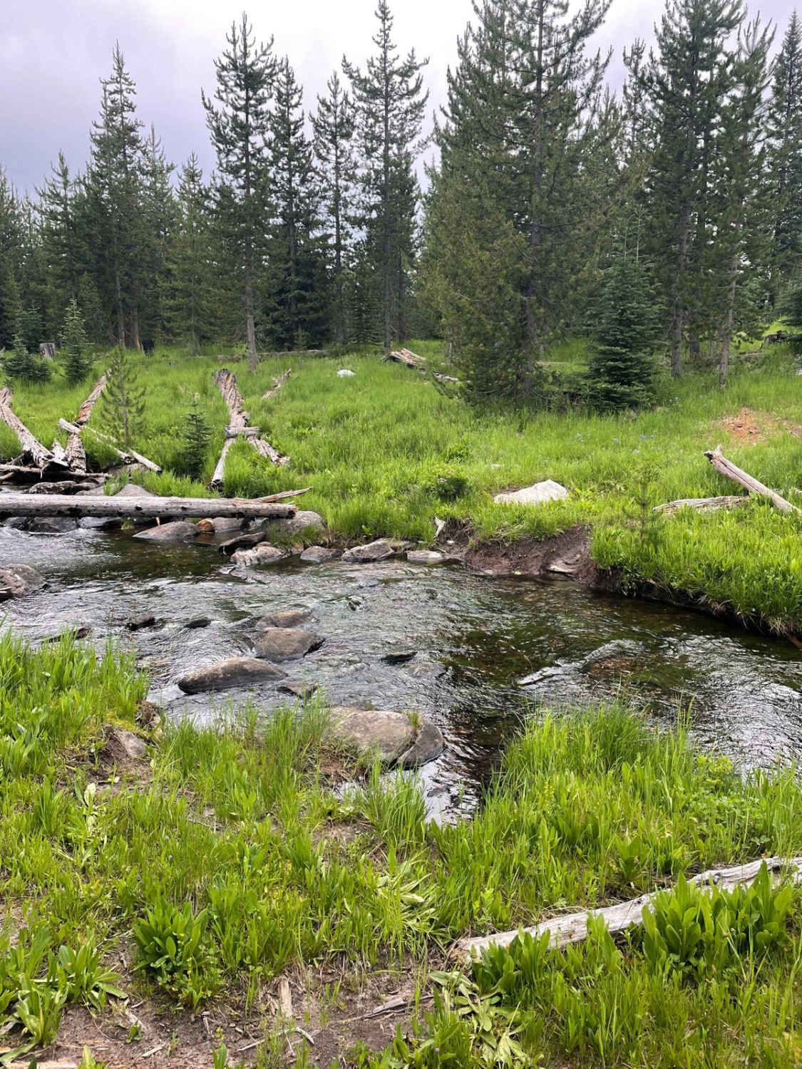
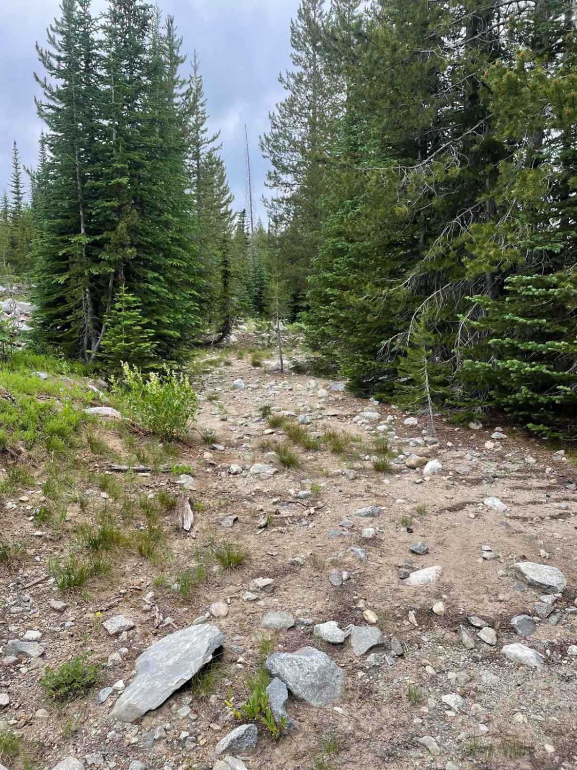
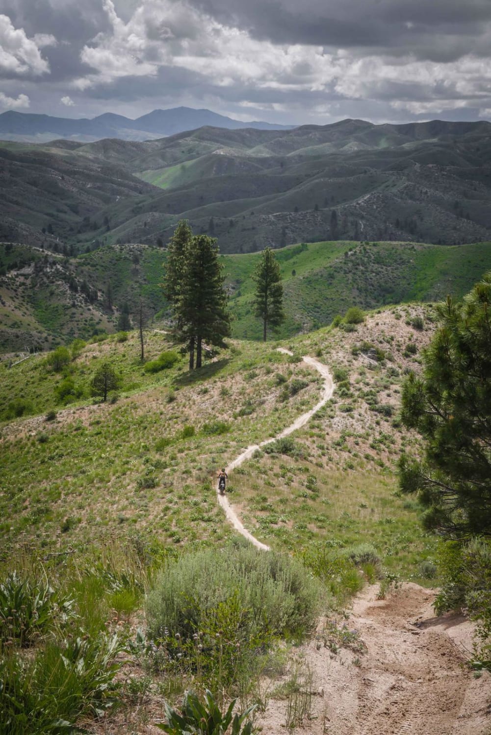
The Big Hazard ATV Trail is a 1.3-mile long two-track in the Payette National Forest north of McCall, Idaho. It starts with a creek crossing that is now blocked by boulders, making the original entrance inaccessible. However, there is a reroute across the creek to the south/right that also has some big rocks and ruts in the creek that will have to be navigated. The rest of the trail is level and mostly smooth and flat, with some minor rocky sections. It appears to be rarely used, as it is overgrown and has some downed trees that would need to be cut for typical ATV use. The trail offers a nice view of the lake but ultimately dead ends in the forest and is mostly uneventful.
Photos of Big Hazard ATV
Difficulty
This trail is a 3 difficulty because there is a fairly rutted and slippery creek crossing to start and downed/overgrown trees impeding your progress. It's still easy because of the short distance and lack of significant technical obstacles.
Status Reports
Big Hazard ATV can be accessed by the following ride types:
- ATV (50")
- Dirt Bike
Big Hazard ATV Map
Popular Trails

Middle Fork Shoshone Creek

Canfield Mountain - Trail B

Picnic Ridge Trail
The onX Offroad Difference
onX Offroad combines trail photos, descriptions, difficulty ratings, width restrictions, seasonality, and more in a user-friendly interface. Available on all devices, with offline access and full compatibility with CarPlay and Android Auto. Discover what you’re missing today!


