Buster Lake ATV
Total Miles
4.2
Elevation
2,737.78 ft
Duration
0.5 Hours
Technical Rating
Best Time
Summer
Trail Overview
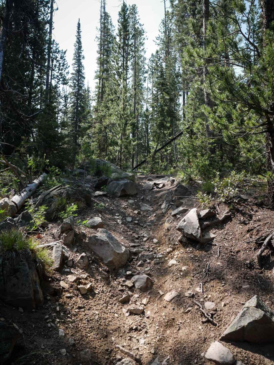
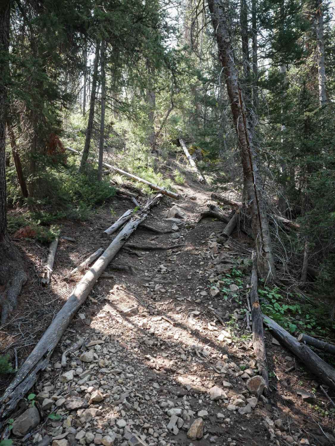
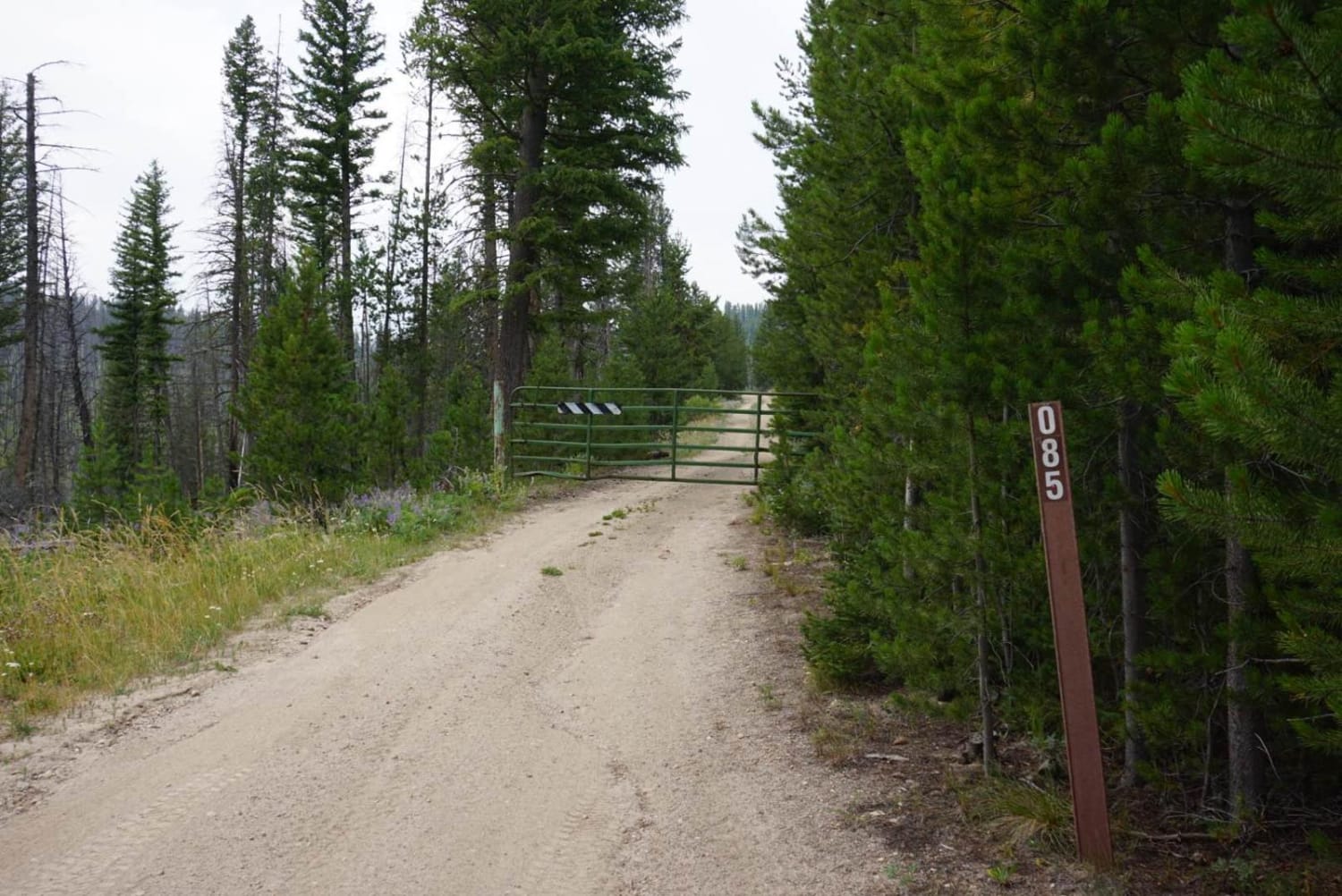
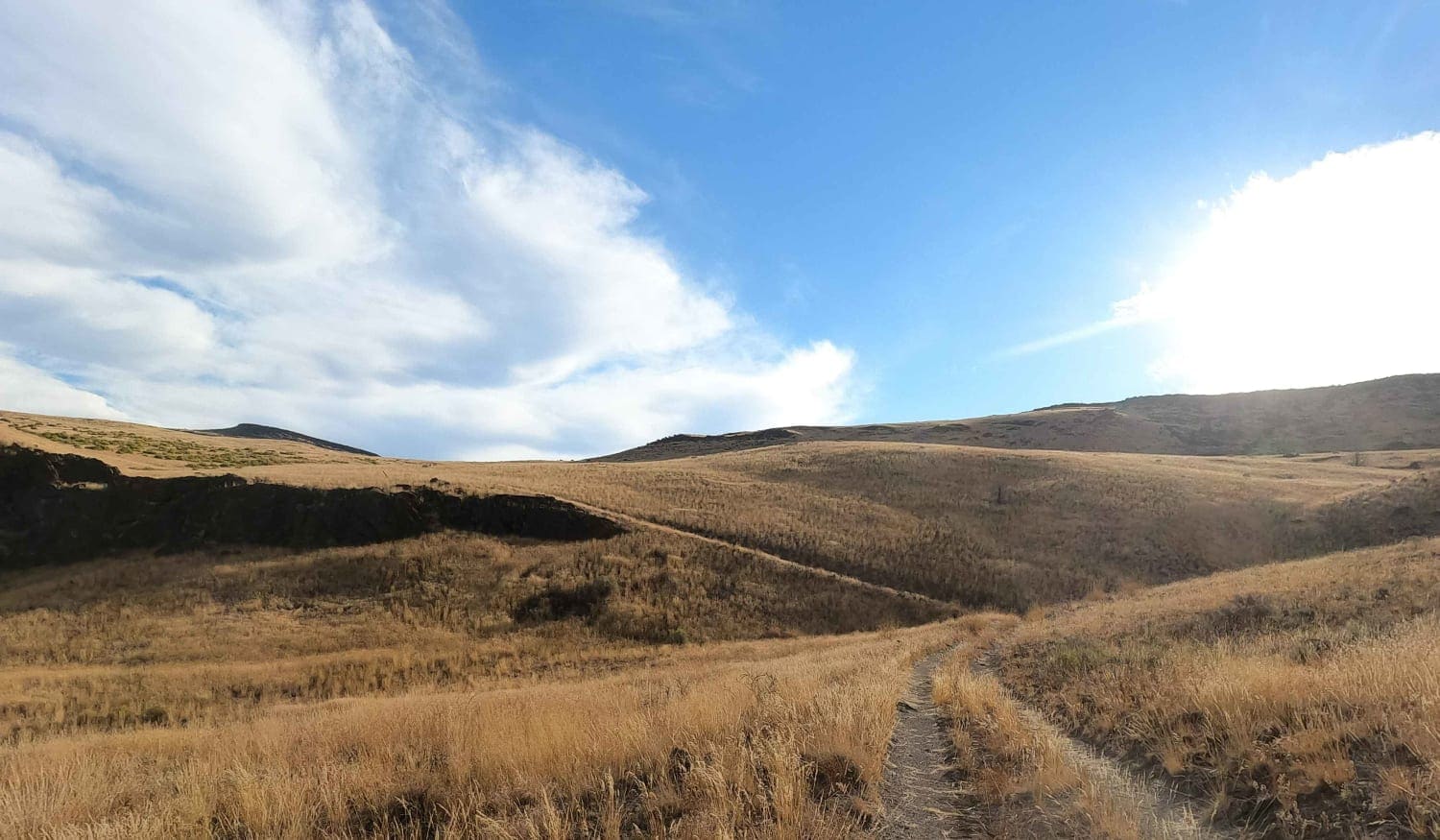
Buster Lake is a 4.4-mile long ATV Trail in the Challis National Forest between Stanley and Challis, Idaho. This trail has steep climbs and rocky sections that would be an intermediate challenge for ATVs, as well as several sections where the trail has narrowed up over time to look more like a single track, as it probably only gets a little ATV traffic. These narrow sections are often through grassy meadows, though, so an ATV would still be able to ride them; it would just be breaking into the trail again. The west end starts at a trail marker and looks like a single track. It goes through a small stream crossing, immediately up a steep hill with downed log debris, roots, embedded rock, and big loose rocks. It's a steep climb up with a small switchback, followed by a rocky section with more enormous boulders lining the trail that an ATV would have to go over, but a dirt biker can pick a clear line through. Later, downed logs aren't cut, and dirt bikes can jump, but that would need to be cut for an ATV. There are several more steep climbs with roots and rocks, big roots across the trail, and a few shelfier spots. The first three miles of the trail (from the west) don't appear to be trafficked by ATVs, mainly because it would have to be ridden as an out-and-back since the west end only connects to a single track. After about 3 miles, the trail has been rerouted onto a broader path that looks more like a Jeep road near the intersection with Beef Pasture and after some log fencing. It's a broader trail with fast corners and small rocks in the trail. It's wide like this to Buster Lake and ends with a view of Buster Lake. ATVs are expected to mostly ride from the east end, starting at Buster Lake and turning off from this trail at Beef Pasture. This trail is open 7/1 - 9/30 for motorized use.
Photos of Buster Lake ATV
Difficulty
The first 3 miles from the west is harder, and the last 1.5 miles on the east end is very easy. This is about a 4 for dirt bikers and a 5 for ATVs, but does not look commonly ridden by ATVs.
Status Reports
Popular Trails
Arco Pass to Horsethief Canyon
Crutchers Crossing South

Canfield Mountain - Trail A (East)
The onX Offroad Difference
onX Offroad combines trail photos, descriptions, difficulty ratings, width restrictions, seasonality, and more in a user-friendly interface. Available on all devices, with offline access and full compatibility with CarPlay and Android Auto. Discover what you’re missing today!
