Canfield Mountain - Trail A (East)
Total Miles
5.4
Technical Rating
Best Time
Spring, Summer, Fall
Trail Type
Single Track
Accessible By
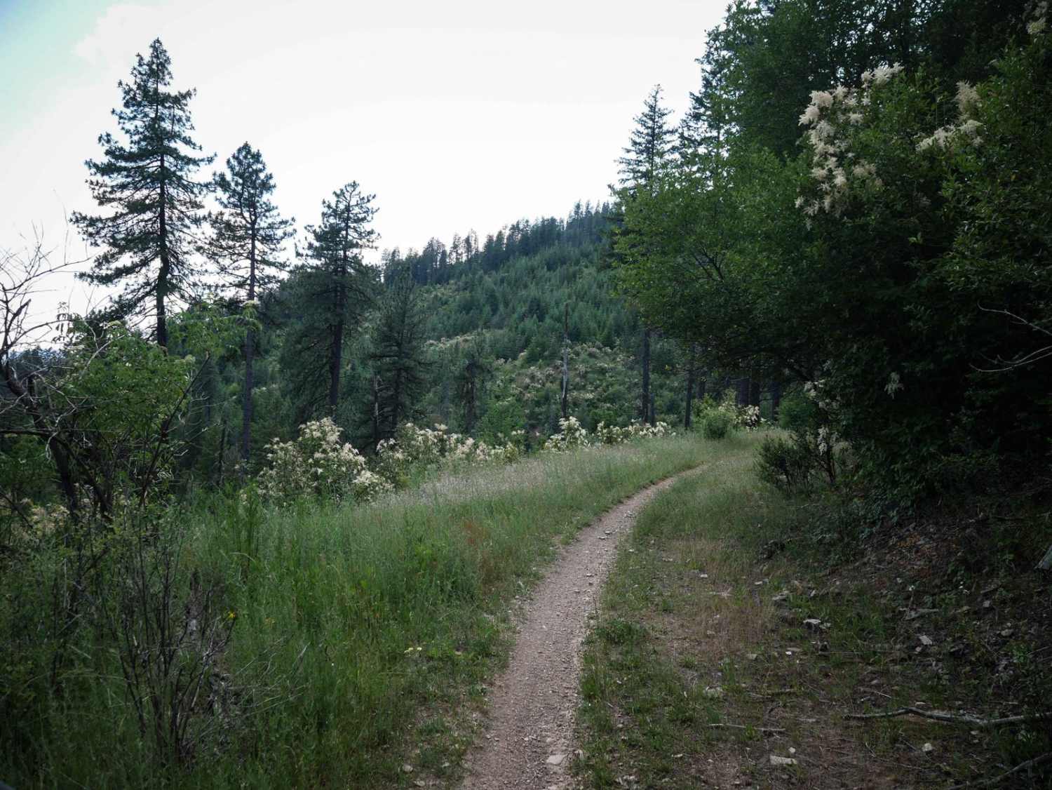
Trail Overview
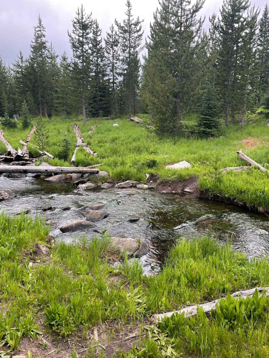
This 5.6-mile segment of Trail A is a long and windy single track in the Canfield Trail System. It's wide and smooth coming from the east end. It has narrower sections later with more pieces of rock in the trail. It goes along a shelf, winding along the side of the mountain. It's like an old shelf road turned into a single track. It turns off from this shelf road and goes through a dark dense forest with tree tunnels. It goes over some water bars to prevent erosion, which are like little rollers to jump off of. It's still a smooth trail that is nice, fast, and flowy. It goes through a tiny stream crossing. There is a little bit more elevation gain in the second half of the trail as it goes west. Logs are down but they are cut. Near the west end, there are deep troughs and ruts with mud. They aren't too hard to get through, you just have to navigate the troughs.
Photos of Canfield Mountain - Trail A (East)

Difficulty
Much of the trail is a 2 difficulty, but deep mud troughs near the west end make it a 3. It's still overall very easy.
Status Reports

Popular Trails
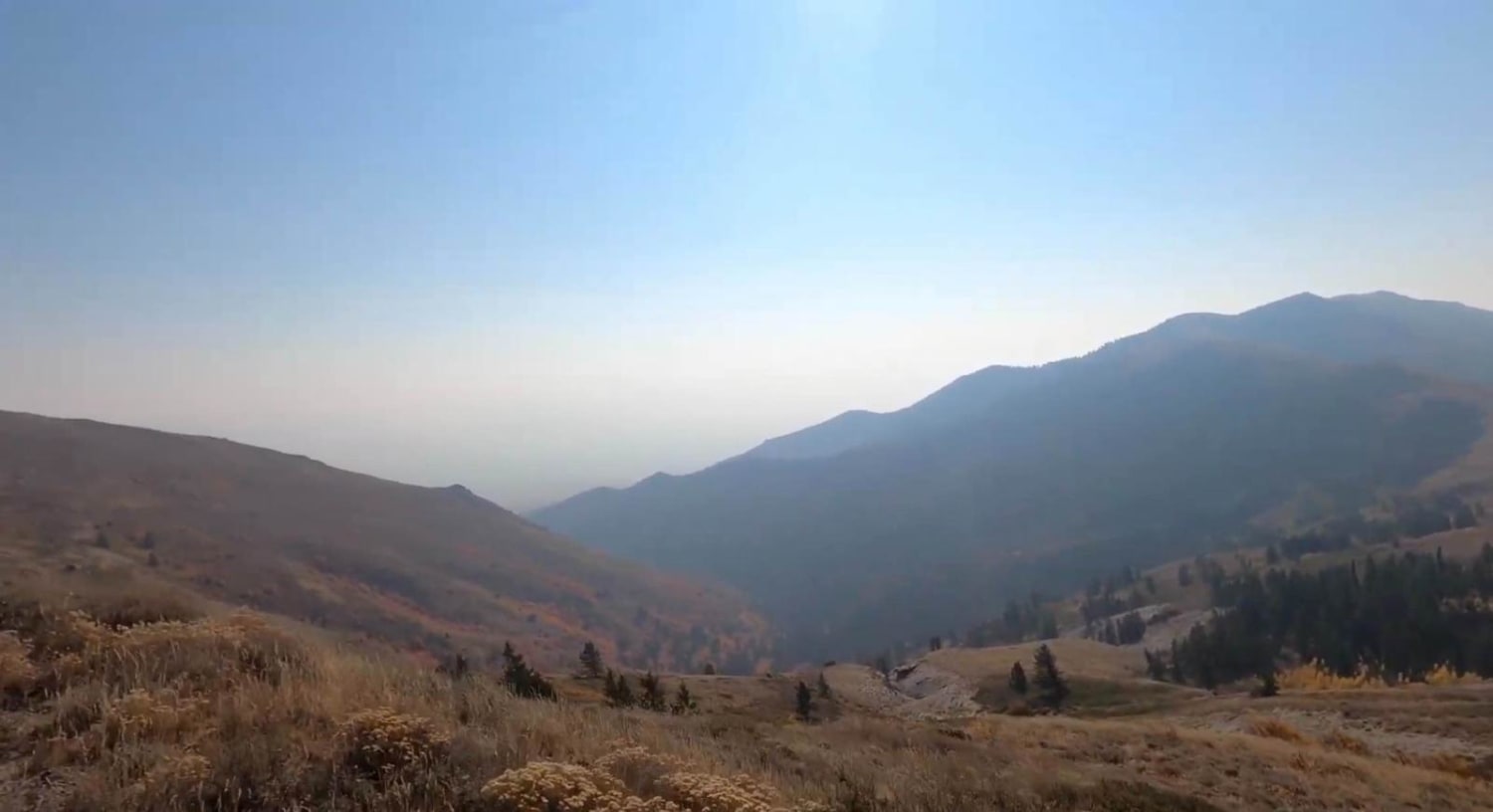
Scout Mountain

Canfield Mountain- Trail 3
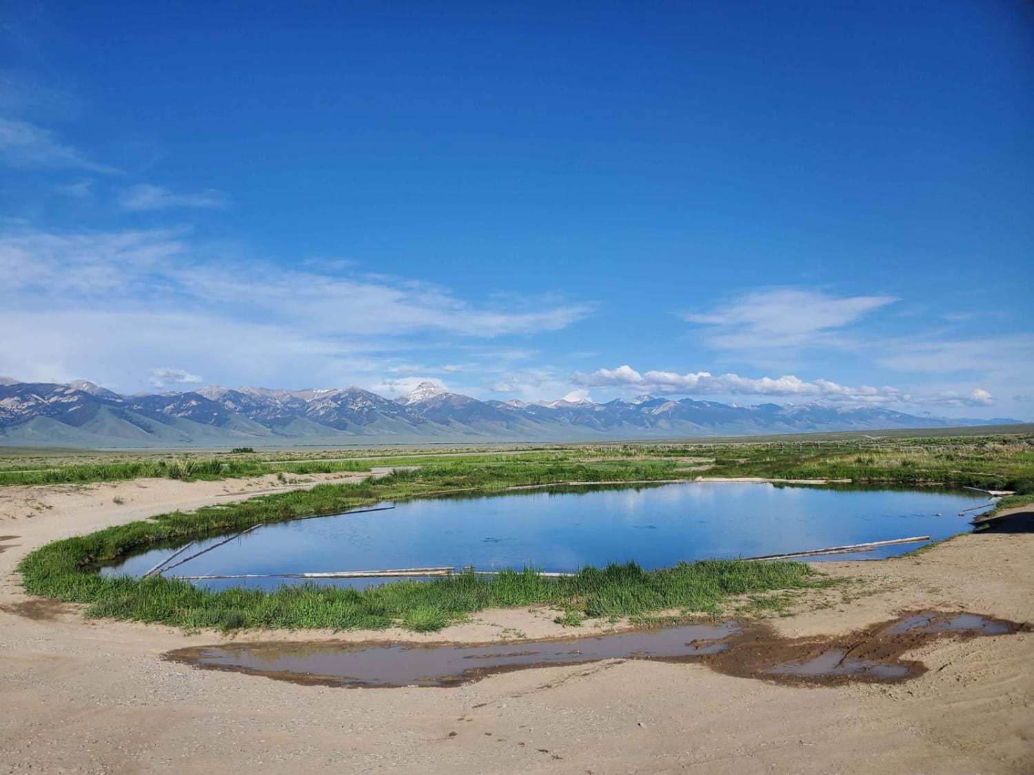
Barney Hot Spring
The onX Offroad Difference
onX Offroad combines trail photos, descriptions, difficulty ratings, width restrictions, seasonality, and more in a user-friendly interface. Available on all devices, with offline access and full compatibility with CarPlay and Android Auto. Discover what you’re missing today!