Cabin Point
Total Miles
8.2
Technical Rating
Best Time
Spring, Summer, Fall
Trail Type
Single Track
Accessible By
Trail Overview
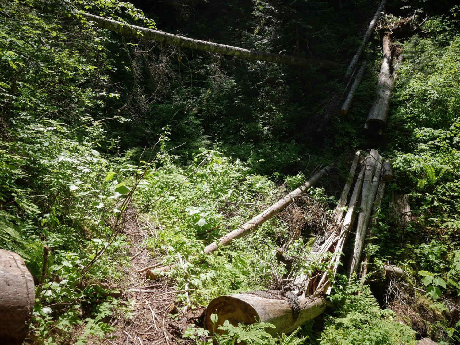
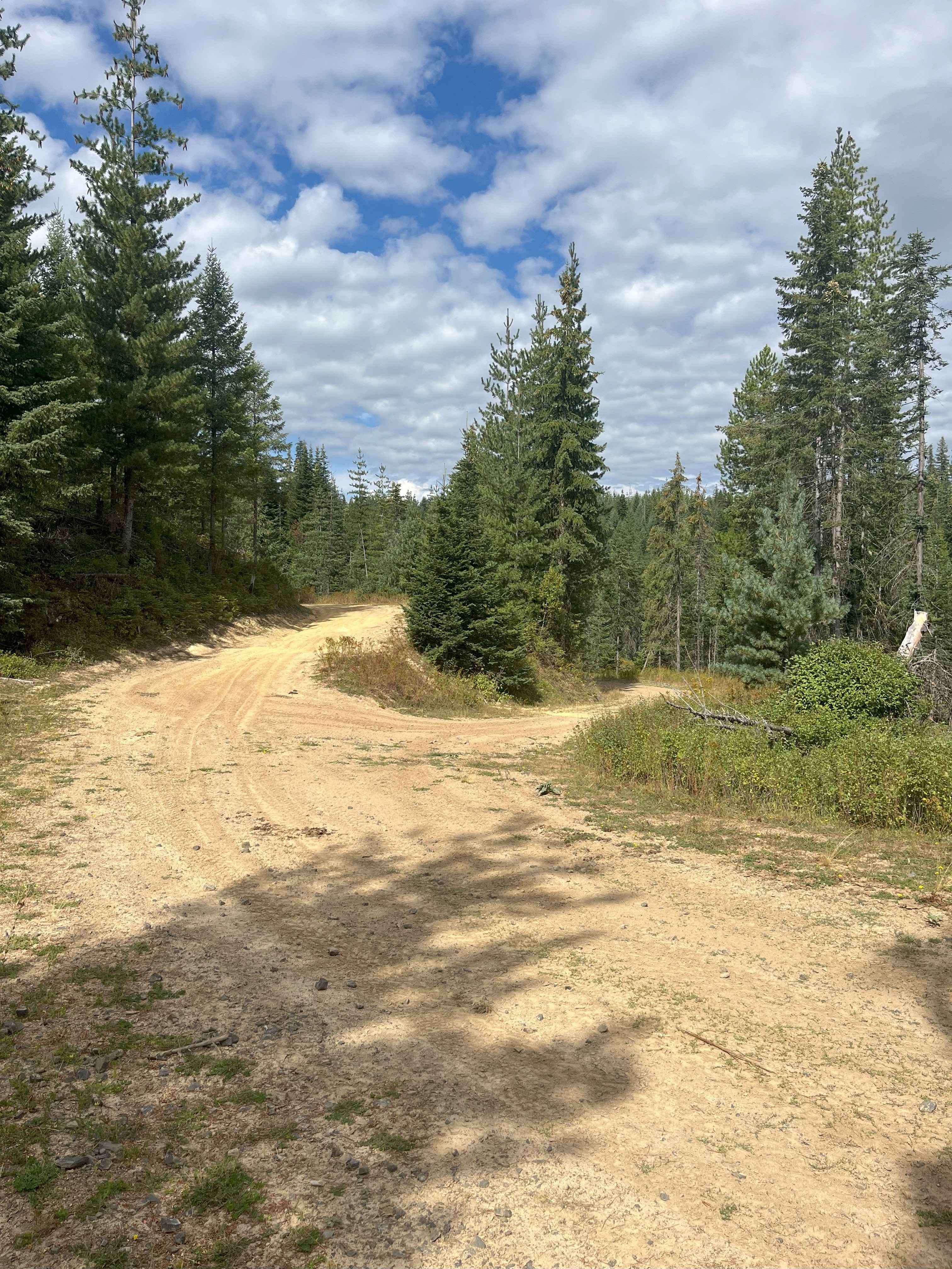
Cabin Point is a 9 mile single track through the Clearwater National Forest. The north end starts off of FS 250, and it goes south to the intersection with the Hemlock Creek singletrack. It's a really overgrown and narrow trail through a dense, lush and humid forest between 2,000 and 4,000 feet elevation. This trail appears less ridden, and will likely require some trail maintenance every year to cut the many downed logs, and it pretty overgrown in spots with leafy bushes extending over the track. It does some narrow side-hilling across steep slopes, and has tight switchbacks, but they aren't too steep, so they are relatively easy and smooth with no rocks. Most of the trail is smooth dirt with no rocks, it's just difficult because of so many logs, overgrowth and exposure. It gradually climbs up a couple thousand feet to the midway point, then back down. The south end ends along the Cabin Creek, but it doesn't have any big creek crossings.
Photos of Cabin Point

Difficulty
This is an intermediate single track due to narrow overgrown sections, side-hilling sections with exposure, and likely lots of uncut logs.
Status Reports
Cabin Point can be accessed by the following ride types:
- Dirt Bike
Cabin Point Map
Popular Trails
Moose Creek Lower Road Track

Three Ponds #3367

Crestline trail - Bell Marsh Creek
The onX Offroad Difference
onX Offroad combines trail photos, descriptions, difficulty ratings, width restrictions, seasonality, and more in a user-friendly interface. Available on all devices, with offline access and full compatibility with CarPlay and Android Auto. Discover what you’re missing today!