Carey Dome Lookout
Total Miles
2.2
Technical Rating
Best Time
Spring, Summer, Fall
Trail Type
50" Trail
Accessible By
Trail Overview
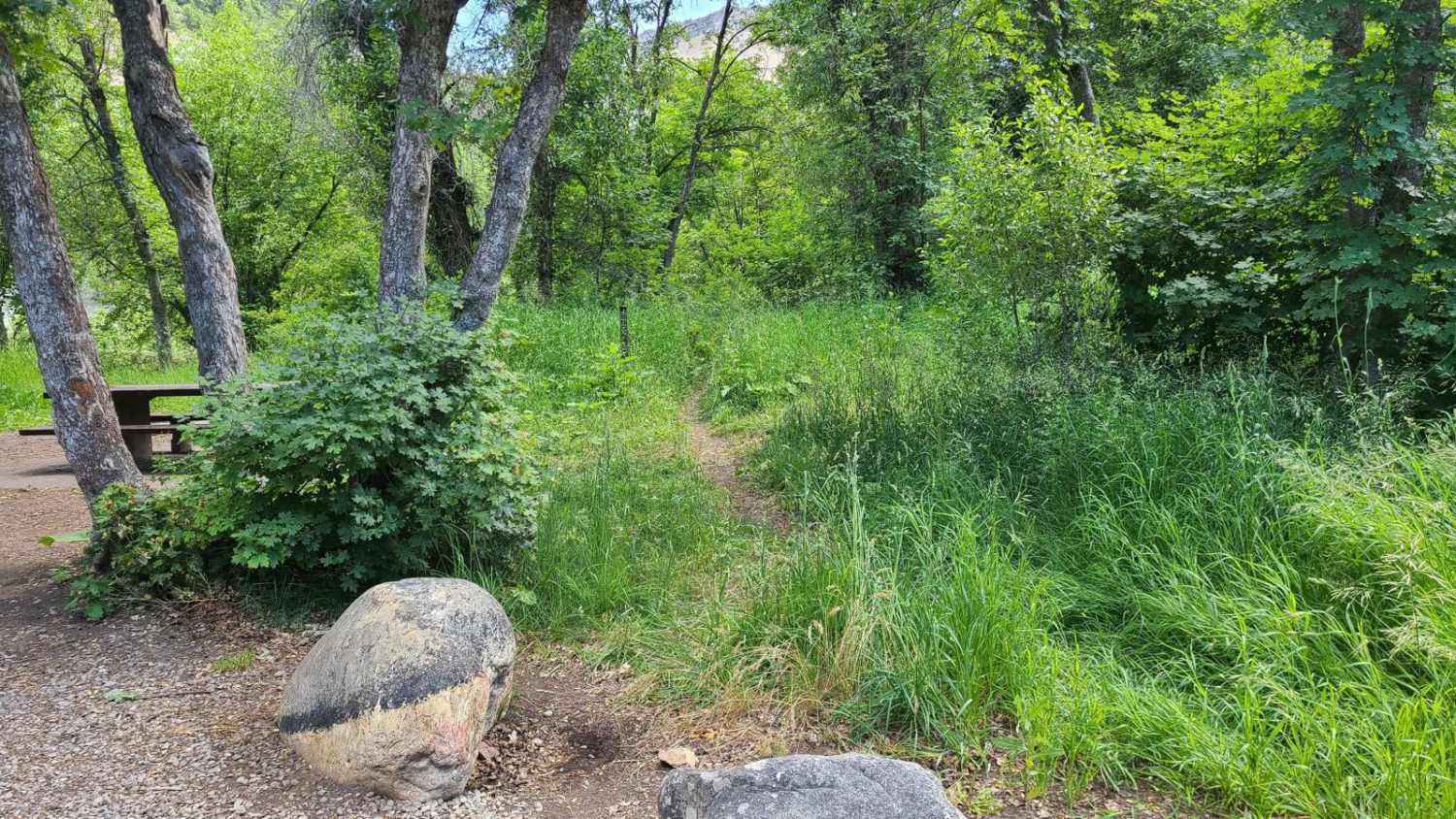
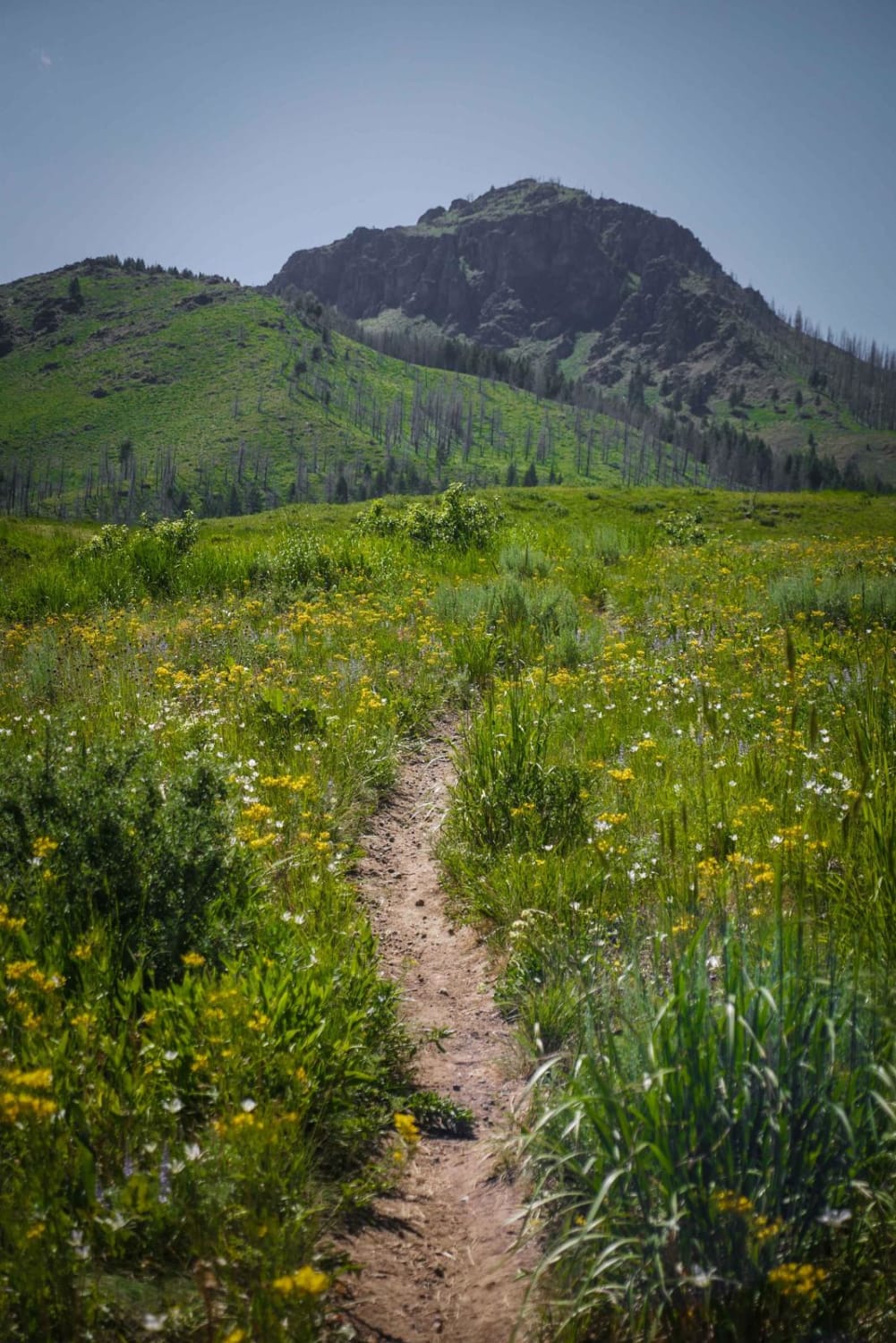
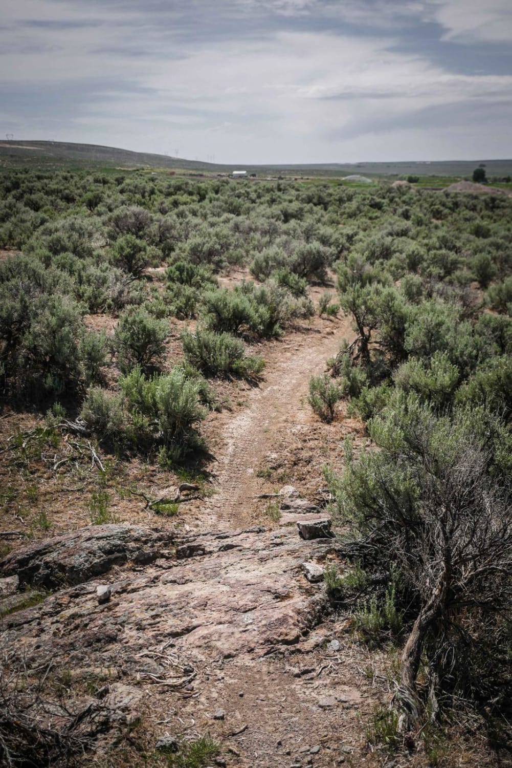
This trail runs through the Bureau of Land Management land adjacent to the Payette National Forest with ends connecting to Forest Service Road 50321 and FS 318. The trail is open to ATV and motorcycle traffic. Other motorized vehicles are not allowed. The trail is dirt with several areas and medium to large boulders to navigate. The trail is mostly tree-lined, with some clearings allowing opportunities to view the surrounding mountains. This trail is a fun 2.3-mile one-way ride.
Photos of Carey Dome Lookout


Difficulty
This trail is one vehicle wide and open to ATVs and motorcycles. There are several short, steep, and rocky sections on the trail, along with ruts.
Status Reports
Carey Dome Lookout can be accessed by the following ride types:
- ATV (50")
- Dirt Bike
Carey Dome Lookout Map
Popular Trails

Bailey Creek #3331
Mahoney Ridge
The onX Offroad Difference
onX Offroad combines trail photos, descriptions, difficulty ratings, width restrictions, seasonality, and more in a user-friendly interface. Available on all devices, with offline access and full compatibility with CarPlay and Android Auto. Discover what you’re missing today!