China Basin Scenic Bypass
Total Miles
9.8
Technical Rating
Best Time
Spring, Summer, Fall
Trail Type
60" Trail
Accessible By
Trail Overview
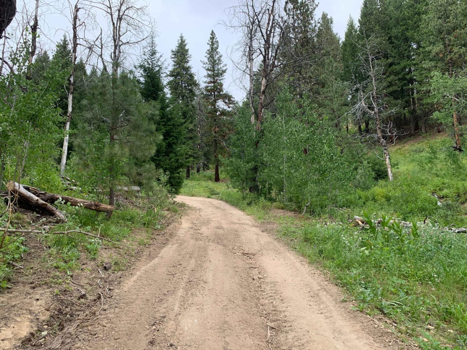
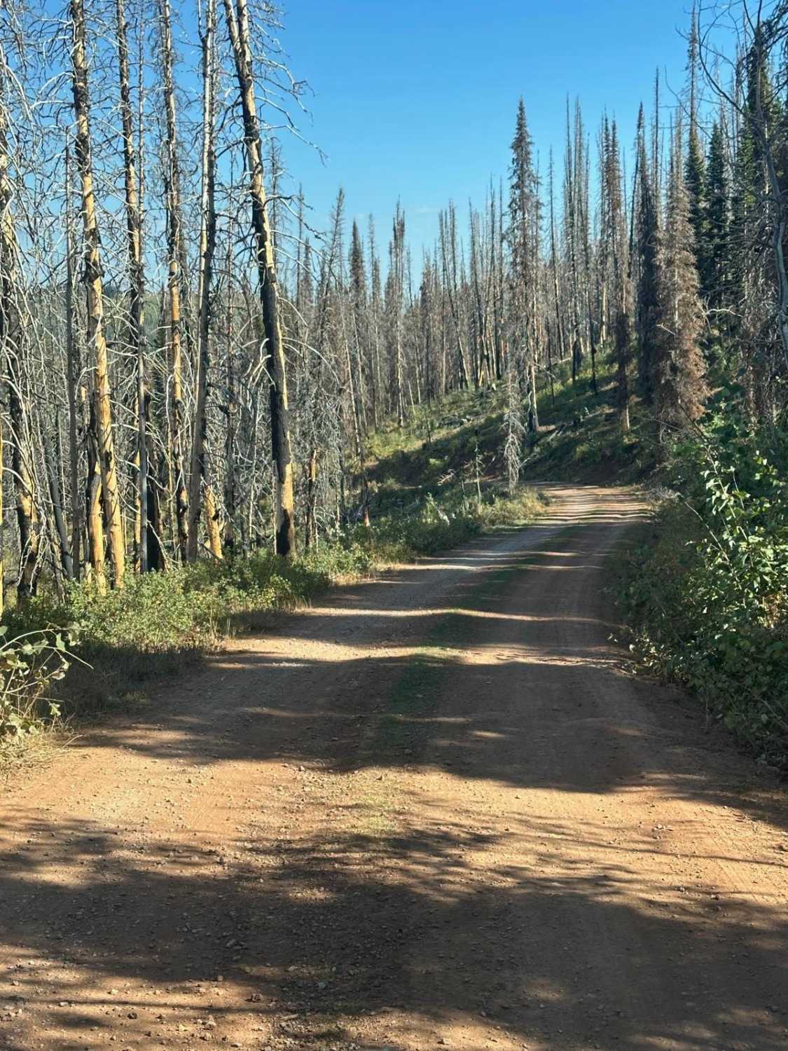
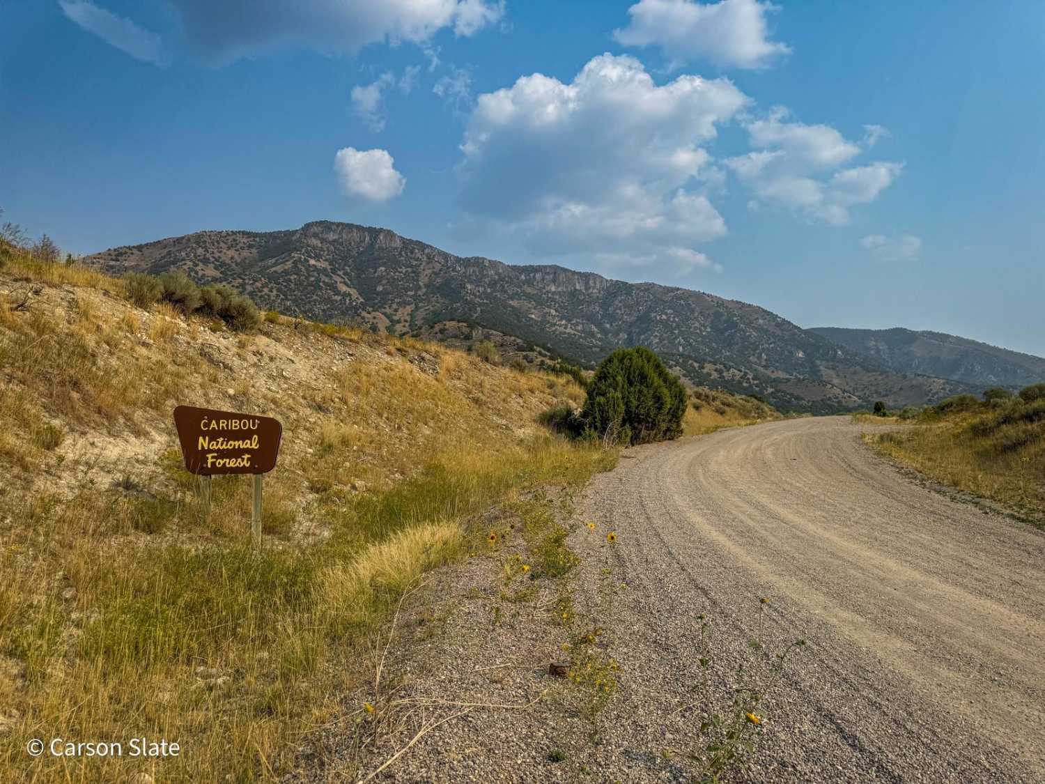
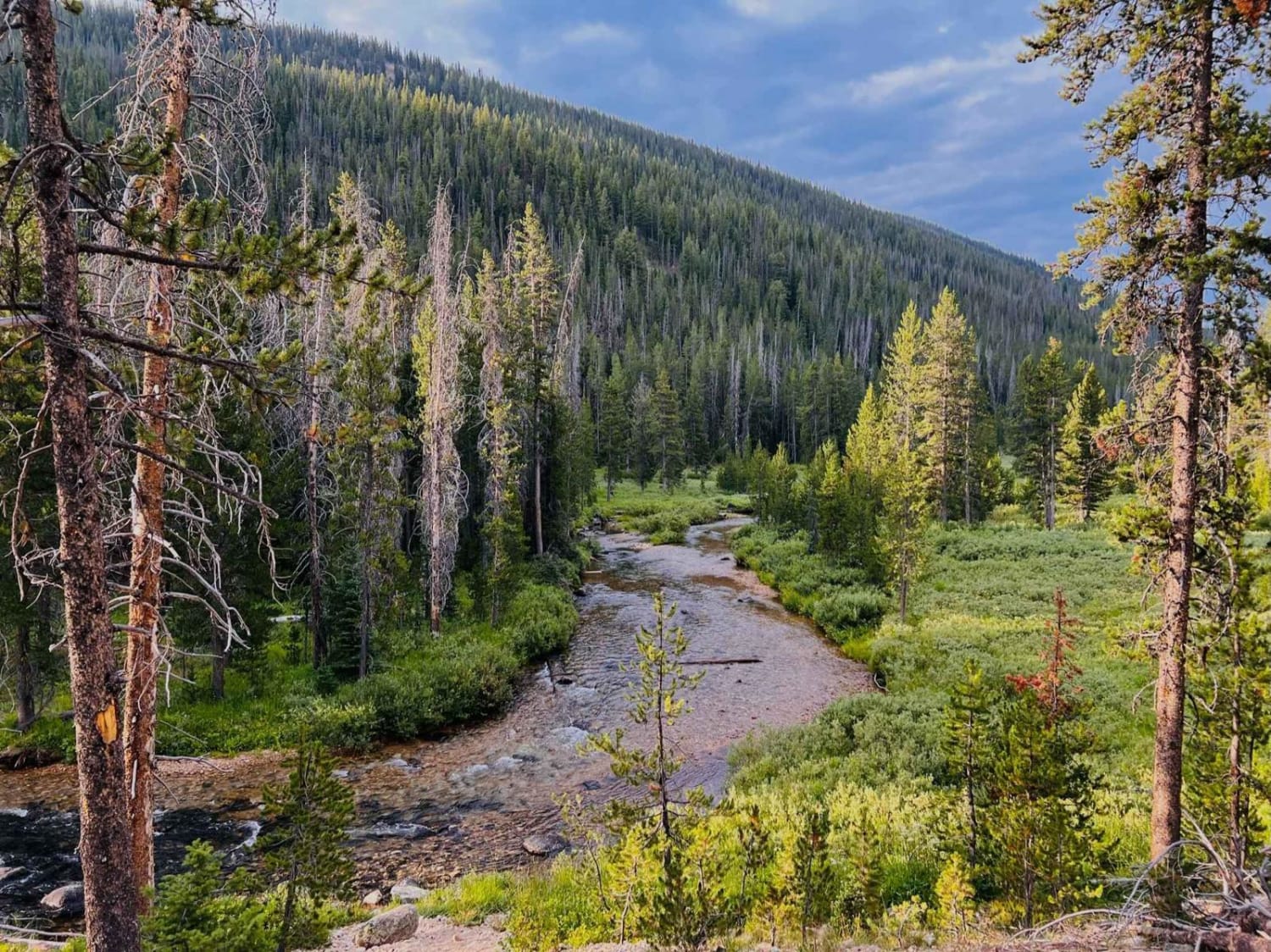
Ride high above the Middlefork of the Boise River, taking in scenery such as: deep valleys, rocky mountains, steep hillsides, rolling hills, wide saddles, and plenty of green pines. Bring your binoculars and cameras to capture the wide variety of wildlife you may see, including black bears. If you like moderate challenges and gorgeous views, this is the route for you.
Photos of China Basin Scenic Bypass
Difficulty
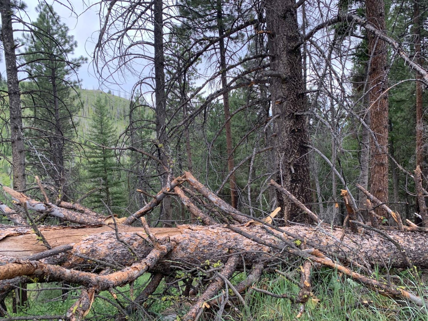
Blind corners, narrow road sections, tight corners, steep inclines and declines, loose rocks, washouts and ruts, and fallen trees are common occurrence. It is highly recommended to carry a chain saw to clear fallen trees off of the trail.
Status Reports
Popular Trails

Hughes Creek
Cape Horn Frontage
The onX Offroad Difference
onX Offroad combines trail photos, descriptions, difficulty ratings, width restrictions, seasonality, and more in a user-friendly interface. Available on all devices, with offline access and full compatibility with CarPlay and Android Auto. Discover what you’re missing today!
