Continental Divide National Scenic Trail (20001) (Partial)
Total Miles
7.1
Technical Rating
Best Time
Spring, Summer, Fall
Trail Type
60" Trail
Accessible By
Trail Overview
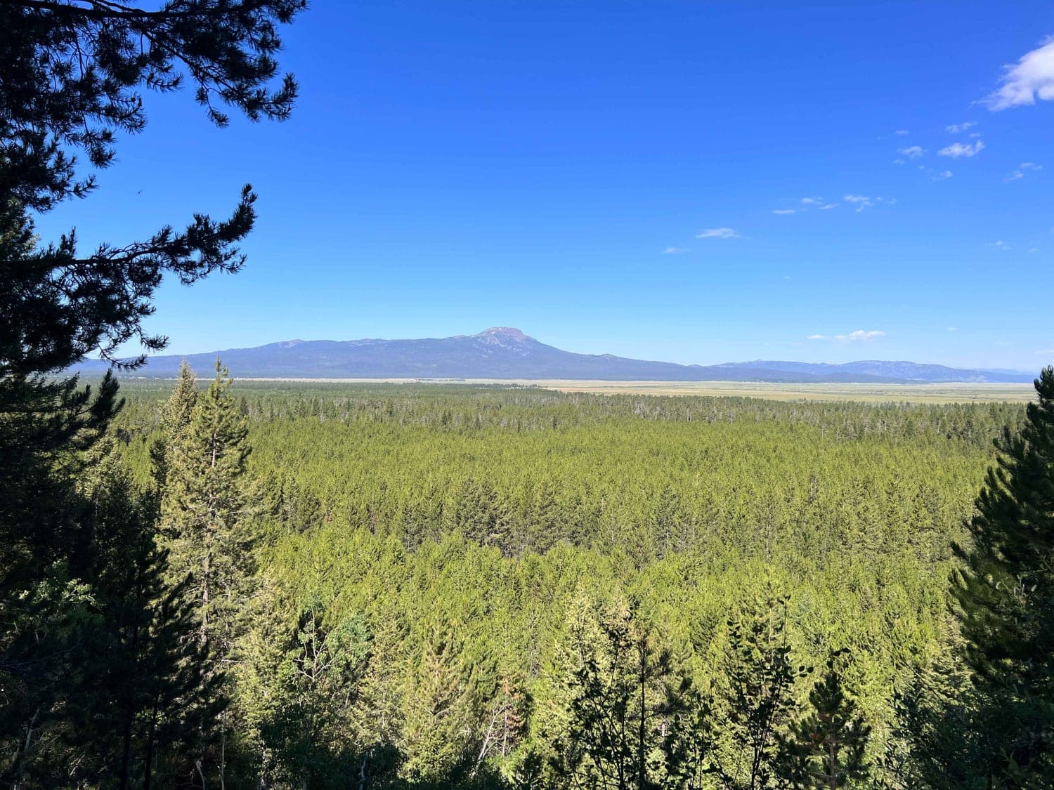
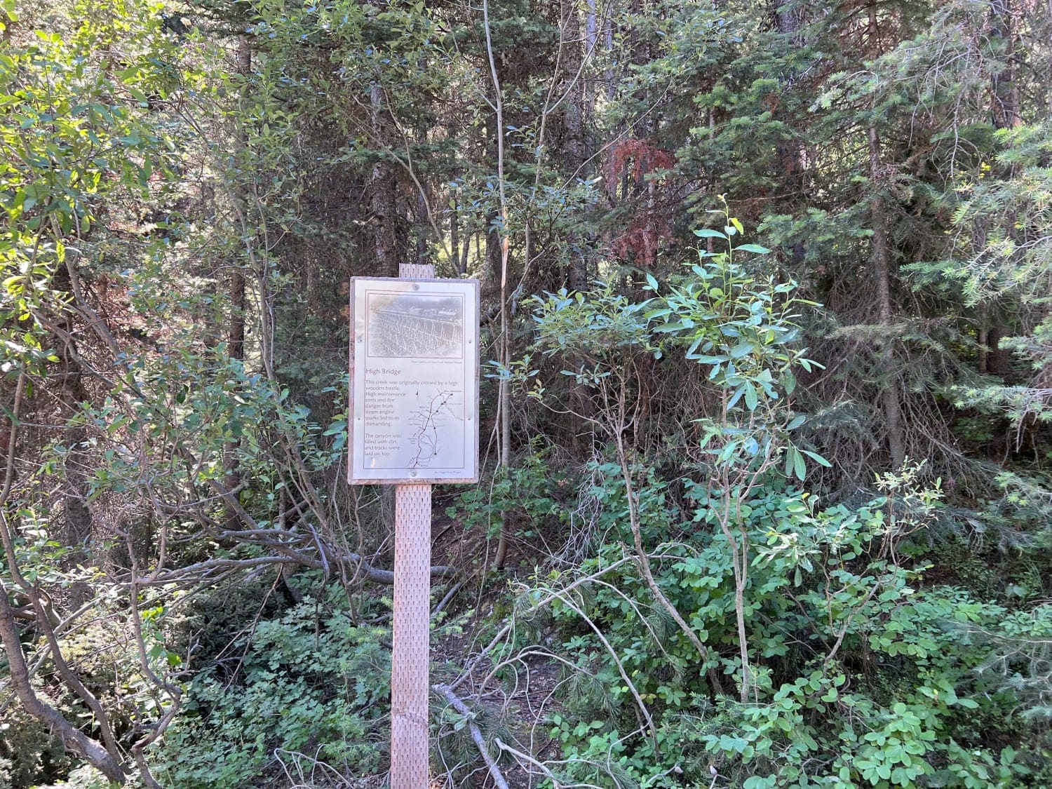
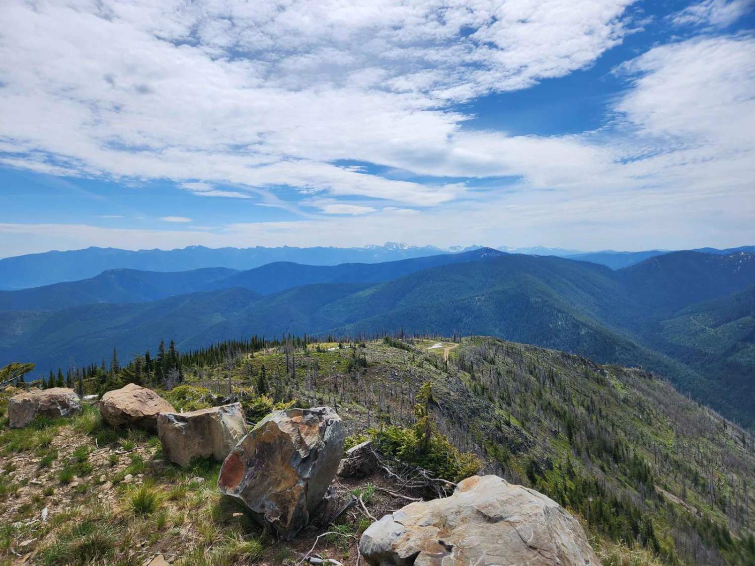
This route is a fun trail that follows the old Railroad Right-of-Way. Take the time to read the signs along the way that describe the large trestle that was built to span an elevated area, as they are interesting and you realize how high this trestle was. To the west, you will also encounter some beautiful views of the mountains, including Sawtell Peak and the large weather dome on top. The trail name changes when you cross into Montana. This is a very popular route for those who rent SxSs on both sides of the border. Many of these people have limited experience with the vehicles, so caution is recommended. There is a trail restroom on the trail intersection on the Montana side. There are some narrow areas on the trail with rock obstacles to navigate. Near Big Springs, the brush and vegetation have grown close to the trail.
Photos of Continental Divide National Scenic Trail (20001) (Partial)
Difficulty
Near Big Springs, the trail is somewhat narrow with trees and shrubs growing into the trail area. This is an ongoing issue for this area with work being done to maintain a clear path along the trail. Further up the trail towards Montana, there are narrow areas caused by large rocks near the trail which limits the width of vehicles that can pass through the obstructions. For those with any concerns, the parallel Black Canyon Road is an alternative. There are rocks and washed-out areas on the trail but they are all easily navigated.
Status Reports
Popular Trails

Pierce to Dworshak Reservoir/Grandad Bridge
Copper Falls
The onX Offroad Difference
onX Offroad combines trail photos, descriptions, difficulty ratings, width restrictions, seasonality, and more in a user-friendly interface. Available on all devices, with offline access and full compatibility with CarPlay and Android Auto. Discover what you’re missing today!
