Devil Peak
Total Miles
5.3
Technical Rating
Best Time
Fall, Summer, Spring
Trail Type
Single Track
Accessible By
Trail Overview
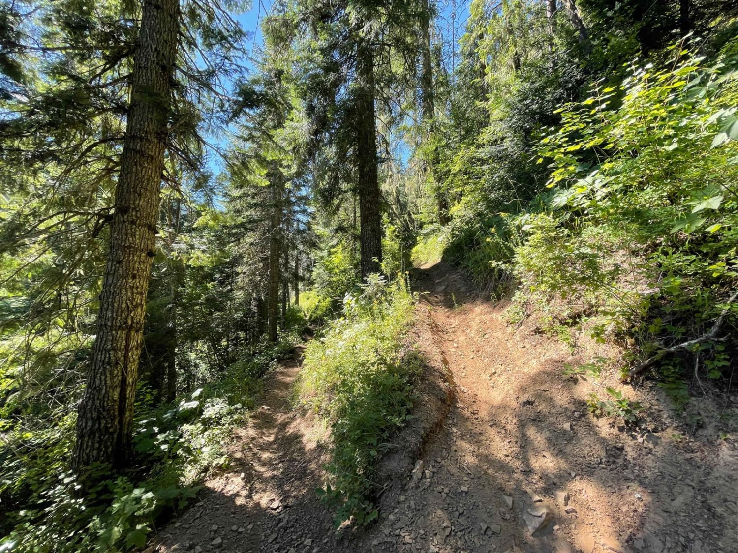
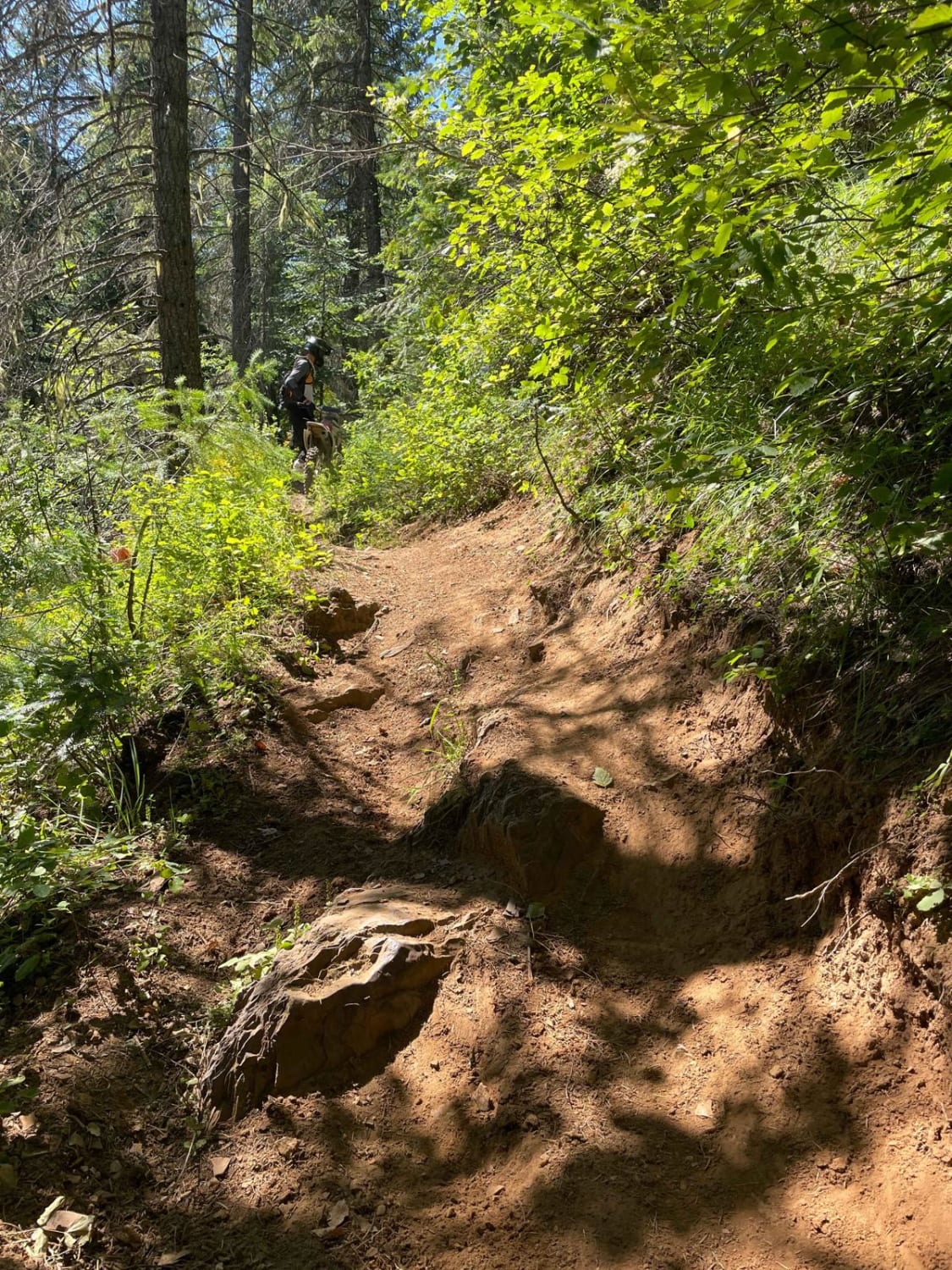
Devils is a short single track in the CDA National Forest that is a spur off of Independence Creek trail. Riding south to north, the trail is a steady side-hill ascent from Independence Creek to Spruce Ridge Road. The trail side-hills the entire way. The beginning and ending have extreme ledge exposure, and there is moderate exposure in the middle. Much of the trail is pretty overgrown with lots of low-hanging branches and twigs sticking out. The trail itself is smooth dirt, not off-camber, just narrow and with significant ledge exposure. Maybe 2-3 more moderate rock or root obstacles to get over. Beautiful views of the mountainsides along the way.
Photos of Devil Peak
Difficulty
Difficulty due to extreme ledge exposure.
Status Reports
Devil Peak can be accessed by the following ride types:
- Dirt Bike
Devil Peak Map
Popular Trails

Nut Basin - FR 441

Prairie Dog Lane

Elk Meadows - Packers Meadows

North Grove Creek
The onX Offroad Difference
onX Offroad combines trail photos, descriptions, difficulty ratings, width restrictions, seasonality, and more in a user-friendly interface. Available on all devices, with offline access and full compatibility with CarPlay and Android Auto. Discover what you’re missing today!

