Nut Basin - FR 441
Total Miles
0.3
Technical Rating
Best Time
Spring, Summer, Fall
Trail Type
Full-Width Road
Accessible By
Trail Overview
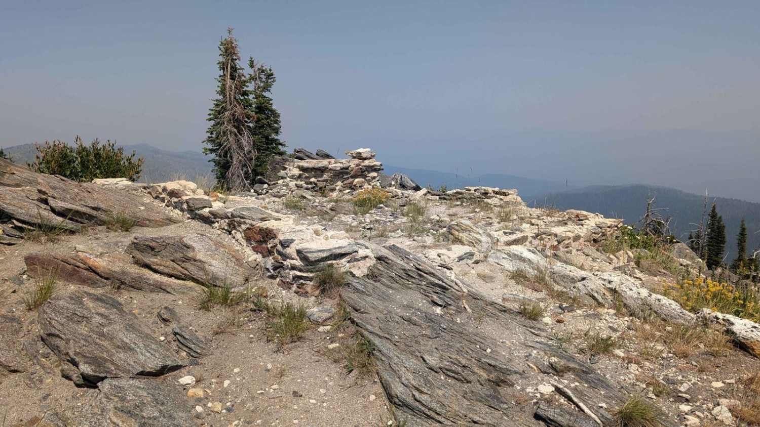
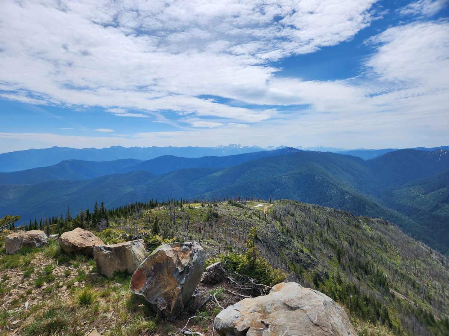
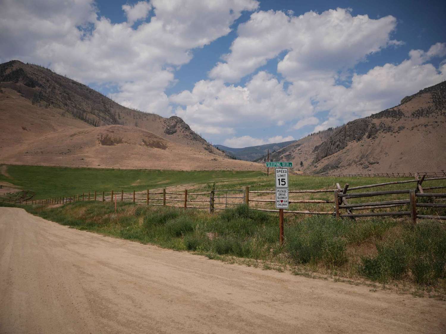
FR 441/Nut Basin Road is a sand road that meanders through the Nez Perce National Forest. Parts are lined with trees on both sides. The road gets rougher with ruts and some baseball-sized rocks when approaching the summit for the turn to the Nut Basin Lookout Ruins. There are places to dry camp along the road. There was light traffic on this road. The only vehicles passed this day were a Side x Side and a pickup truck. FS 441J turns off on the right and goes to the ruins of the old Nut Basin Lookout. It's a steep and rocky 623-yard drive to the ruins. The views are breathtaking in all directions. This road is open year-round. The Salmon River Ranger District manages this area.
Photos of Nut Basin - FR 441

Difficulty
The first several miles of the road, after turning off NF221/Grangeville-Salmon Road, is a pleasant drive with typical rough spots and a few ruts. The road becomes rougher with more rocks as it approaches the summit and the turn to go to the Nut Basin Lookout ruins.
Status Reports

Popular Trails
Horse Haven Airfield
Bull Trout Lake
The onX Offroad Difference
onX Offroad combines trail photos, descriptions, difficulty ratings, width restrictions, seasonality, and more in a user-friendly interface. Available on all devices, with offline access and full compatibility with CarPlay and Android Auto. Discover what you’re missing today!