Elk-Morris Connection
Total Miles
3.2
Technical Rating
Best Time
Summer, Fall
Trail Type
50" Trail
Accessible By
Trail Overview
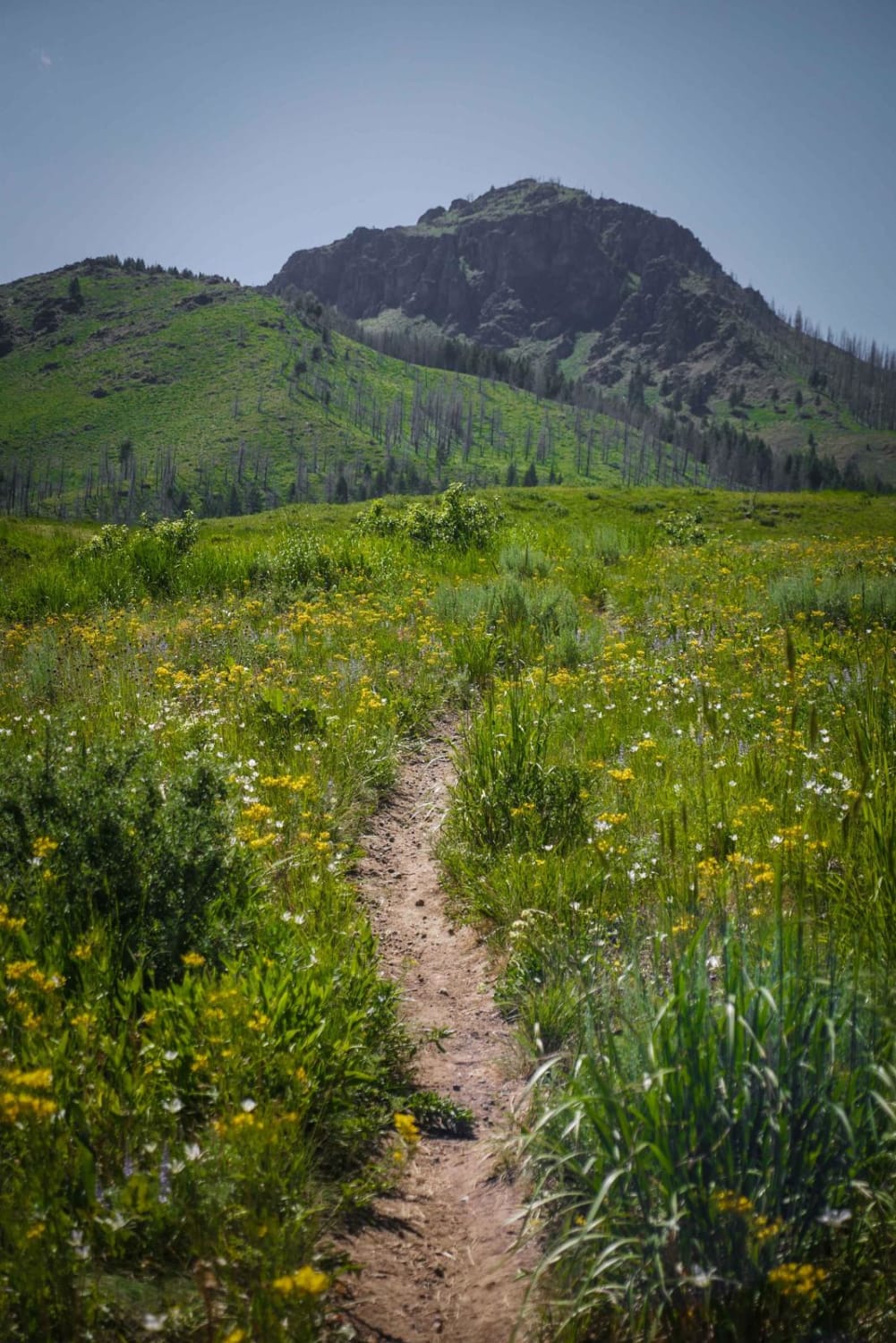
This trail, while short, is a nice 50-inch route that cuts over from the area of the Elk Creek Basin to Morris Creek. It is a great addition to a loop route through the area to get some elevation, open views, and some nice shady timber. It has a few good spots to pull off and stretch your legs or have a little snack while taking in the scenery.
Photos of Elk-Morris Connection
Difficulty
This trail is fairly rutted and rocky, but nothing to stress about. You may have to straddle or criss-cross back and forth to dodge ruts. Depending on the weather, there will be mud or deep puddles in some areas.
Status Reports
Popular Trails

Mahoney Ridge

Old Baldy Connector 7438

Continental Divide NST

Cedar Butte Road to Big Southern Southside
The onX Offroad Difference
onX Offroad combines trail photos, descriptions, difficulty ratings, width restrictions, seasonality, and more in a user-friendly interface. Available on all devices, with offline access and full compatibility with CarPlay and Android Auto. Discover what you’re missing today!


