Continental Divide NST
Total Miles
6.1
Technical Rating
Best Time
Spring, Summer, Fall
Trail Type
Single Track
Accessible By
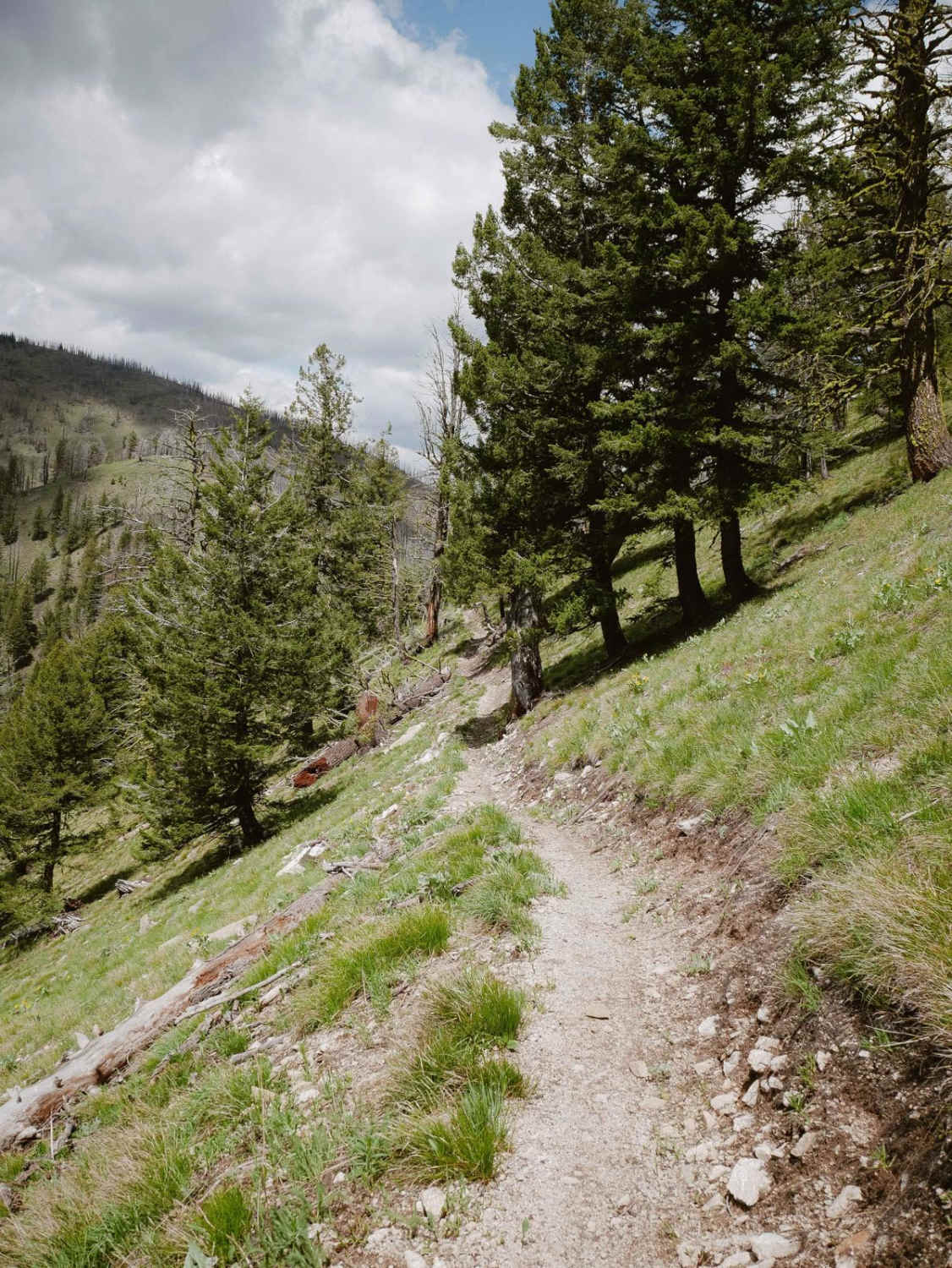
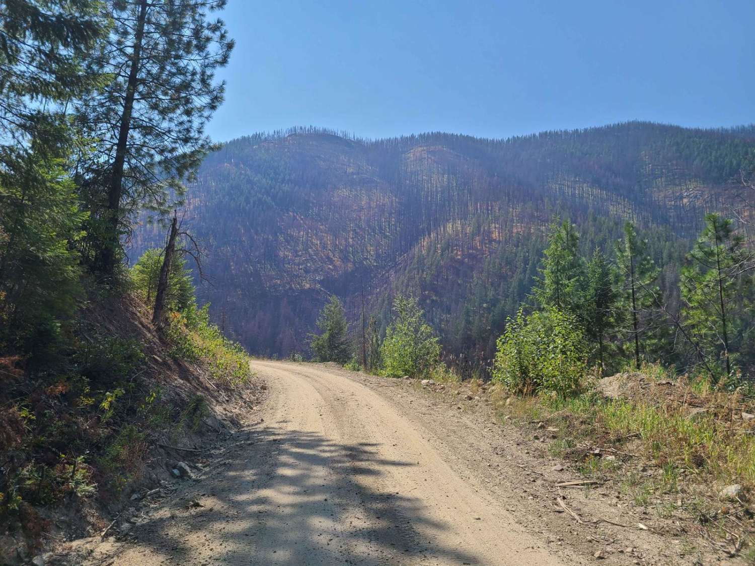
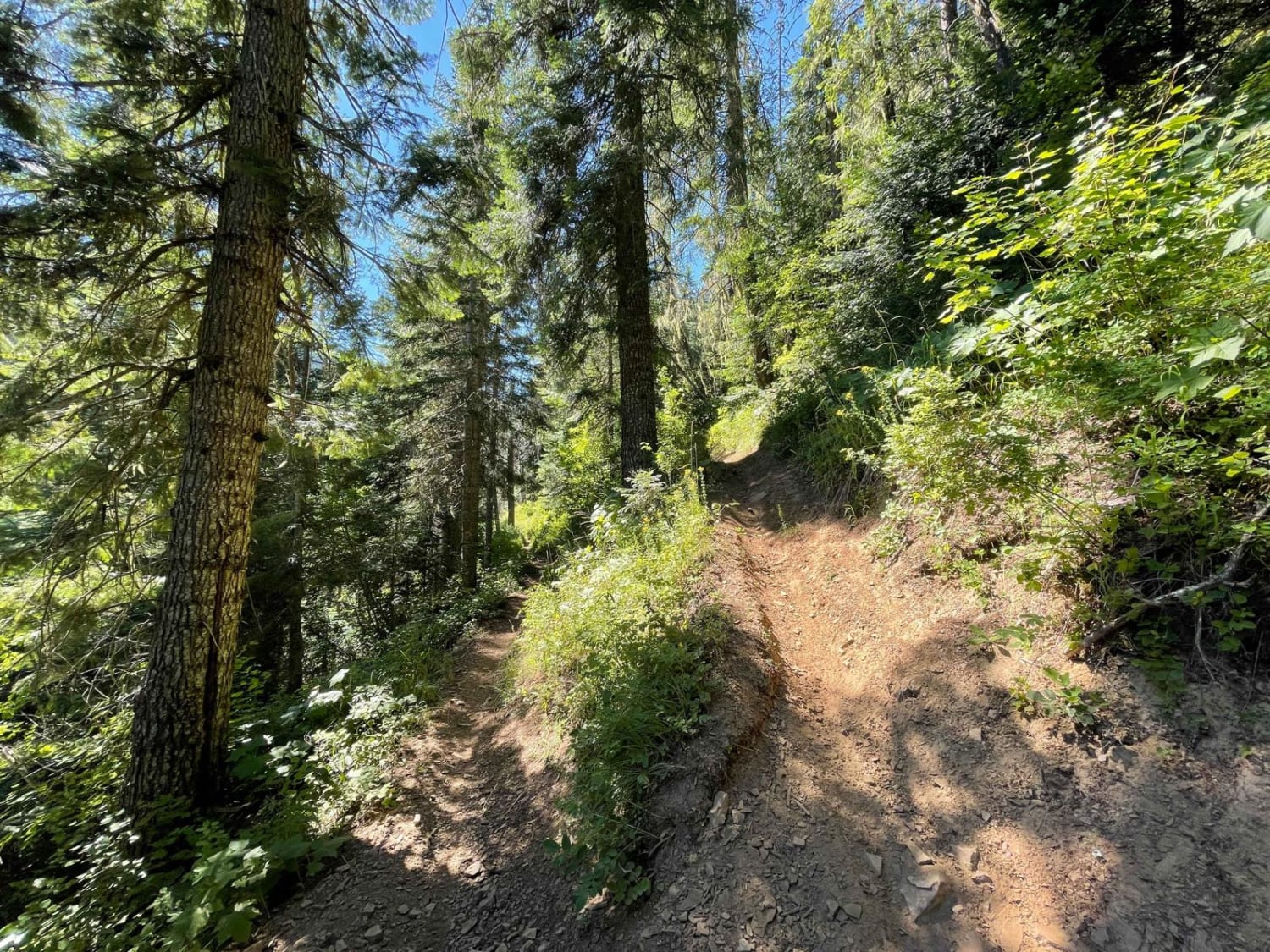
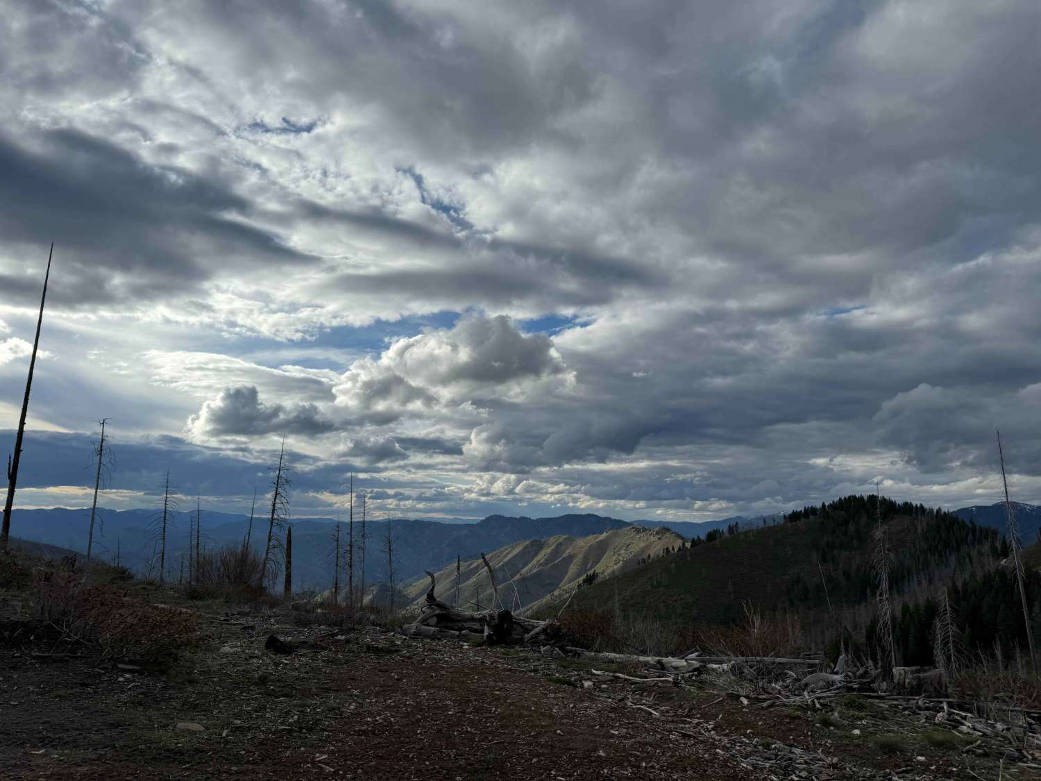
Trail Overview
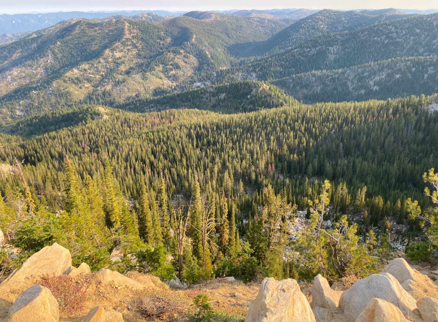
This is a 6-mile segment of the Continental Divide NST single track that borders the Salmon National Forest and the Beaverhead National Forest on the border of Montana and Idaho. The south entrance starts at a pinch point and continues as a fun alpine single track tightly between the pine trees. Watch your handlebars on all the trees lining the trail, and be prepared for potential downfall if it hasn't been cut for the season. In the beginning, it's a decently wide trail cutting across the mountainside, through green grassy meadows, and it climbs between the saddles onto ridgelines on the mountaintops. Later it goes through a burn area and becomes narrower. The trail itself is pretty smooth dirt, with not many rocks, making it fast and flowy, although some sections have a bit more pieces of rock and roots in the trail. There's a big reroute through the burn area. There are more challenging sections where the trail becomes exposed and shelfy on the side of a steep slope. One of the harder parts is several steep switchbacks to get up a big hill from a saddle, and loose, steep, and straight-up hill climbs near the switchbacks.
Photos of Continental Divide NST

Difficulty
The trail is an intermediate difficulty due to some embedded rock, several steep switchbacks, steep and loose hill climbs, and tight and narrow sections with exposure. The northern half has more of the narrower and exposed sections.
Status Reports

Popular Trails
Phifer Creek Pass
The onX Offroad Difference
onX Offroad combines trail photos, descriptions, difficulty ratings, width restrictions, seasonality, and more in a user-friendly interface. Available on all devices, with offline access and full compatibility with CarPlay and Android Auto. Discover what you’re missing today!