Fanny's Hole ATV
Total Miles
4.2
Technical Rating
Best Time
Summer, Fall
Trail Type
50" Trail
Accessible By
Trail Overview
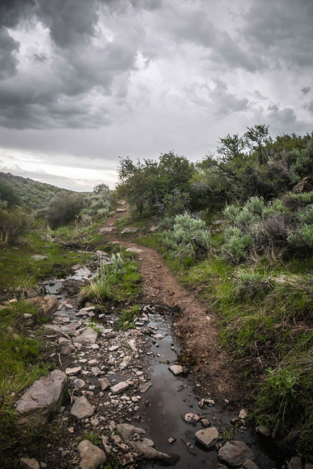
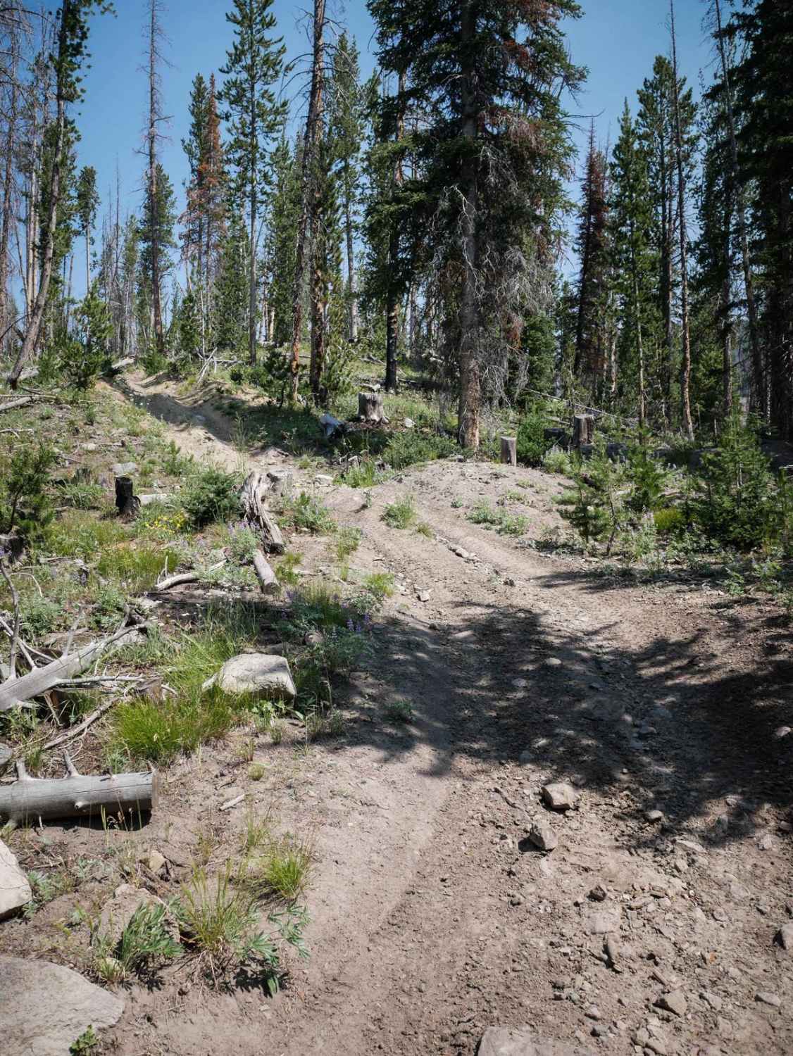
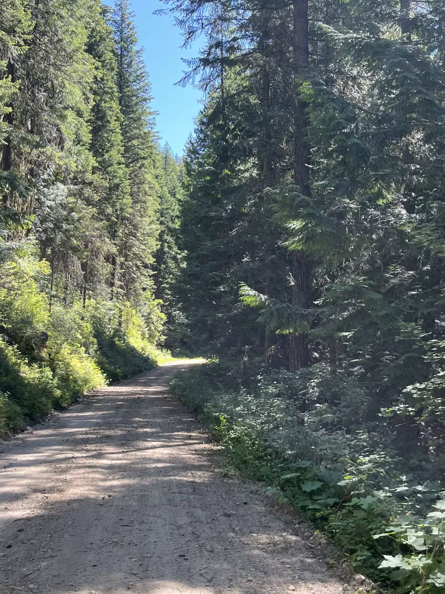
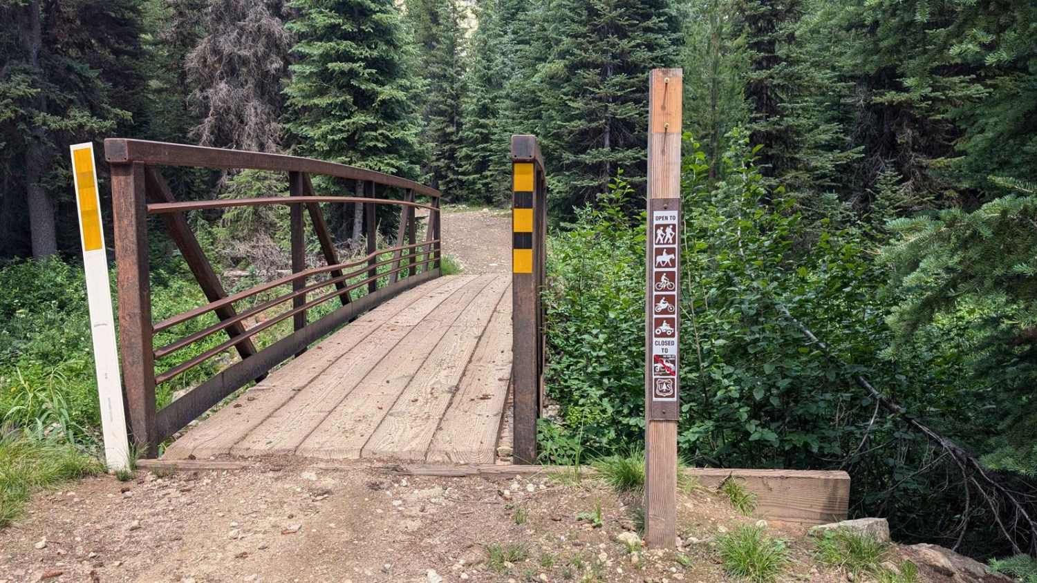
Fanny's Hole ATV trail is almost 5 miles long, starting on the south end at the Buster Lake Trailhead and going north to connect to Custer Motorway. The trailhead designates the trail for vehicles 50" or less. From the south, it's a wide two-track that gradually starts climbing up the hill into the pine trees, then goes through flat grassy meadows. There are old wooden bridges through the meadows over rutted muddy spots. It's mostly a flat, smooth trail with some fast corners, but there are some ruts down the middle or the side of the trail at times. It's a constant climb for the first half, but it's easy. It gets up onto an excellent ridgeline, the trail along the edge of the trees with lovely views. The trail's second half drops down almost 2,000 feet in elevation before it ends on Custer Motorway. This trail is open 7/1 - 11/15 for motorized use.
Photos of Fanny's Hole ATV
Difficulty
The trail is overall easy, but watch for spots with loose rocks, loose dirt covering embedded rocks, and easy switchbacks that are rideable. It's easy for most average ATV riders.
Status Reports
Fanny's Hole ATV can be accessed by the following ride types:
- ATV (50")
- Dirt Bike
Fanny's Hole ATV Map
Popular Trails

Upper Dry Gulch

Canfield Mountain- Trail 1
The onX Offroad Difference
onX Offroad combines trail photos, descriptions, difficulty ratings, width restrictions, seasonality, and more in a user-friendly interface. Available on all devices, with offline access and full compatibility with CarPlay and Android Auto. Discover what you’re missing today!


