Fence Line Trail
Total Miles
2.8
Technical Rating
Best Time
Fall, Summer, Spring
Trail Type
High-Clearance 4x4 Trail
Accessible By
Trail Overview
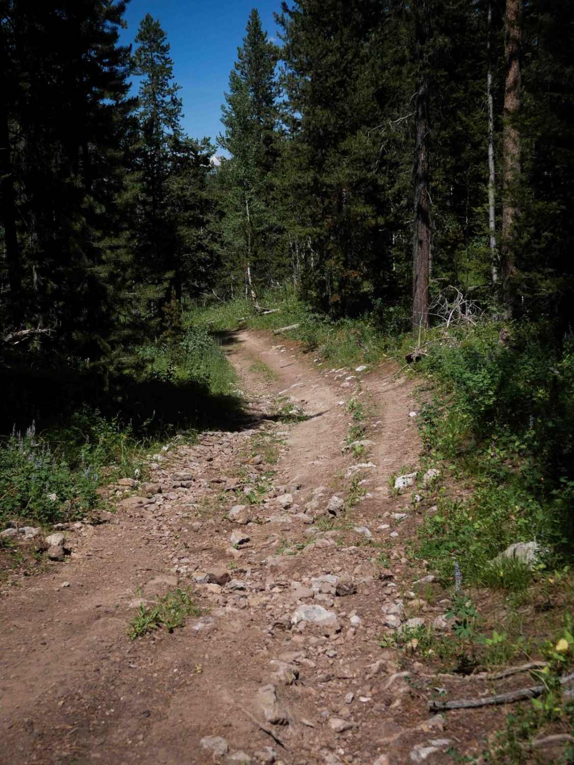
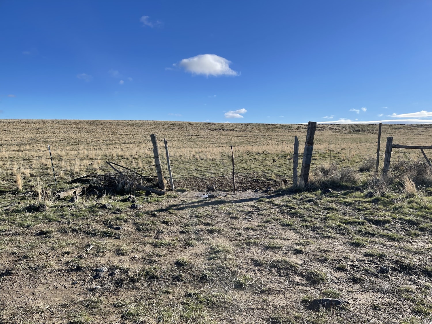
A mostly two-track trail gives way to somewhat graded trail ends in a rock pile on one side that marks the route. Maps show many trails crisscrossing the area, but this is one of the two main ones that still appear to be used. Saw a coyote go by in the flowing grasses that dot the landscape. Be careful of cattle grazing in the area, and it may be impassable when wet or muddy. The trail was very rutted and rocky, one bar of cell service LTE in and out. At one point, you are going to have to jot south to cross through a gate as there is a newer fence that crosses right through the middle of the trail.
Photos of Fence Line Trail
Difficulty
Could be sloppy when wet, the last leg of the trail seems to almost disappear into rocky seldom used two-track lined with rocks on the south side of the trail to mark the way. May be impassable in winter.
Status Reports
Fence Line Trail can be accessed by the following ride types:
- High-Clearance 4x4
- SxS (60")
- ATV (50")
- Dirt Bike
Fence Line Trail Map
Popular Trails

Clayburn Creek East

Rainbow Creek ATV

Hamilton Mountain

Cold Springs/Upper Dry Valley #5206
The onX Offroad Difference
onX Offroad combines trail photos, descriptions, difficulty ratings, width restrictions, seasonality, and more in a user-friendly interface. Available on all devices, with offline access and full compatibility with CarPlay and Android Auto. Discover what you’re missing today!

