Poison Flats Trail Exploring
Total Miles
10.1
Technical Rating
Best Time
Summer, Fall
Trail Type
50" Trail
Accessible By
Trail Overview
The route begins at Poison Flats Trailhead, climbs to Poison Flats, and follows the trail to Long Canyon Road. Cut off to the weather station and park at the pond below. Walk up to the old Morning Glory Mine. (The only registered mine in Madison County, ID). Continue down the cutoff trail to Wolverine Creek Trail, then head back up to Long Canyon Road. Explore the shortcut to Windy Ridge Loop and return back to Long Canyon Road. Enjoy a leisurely ride down Long Canyon Road to the Kelly Canyon Ski Hill.
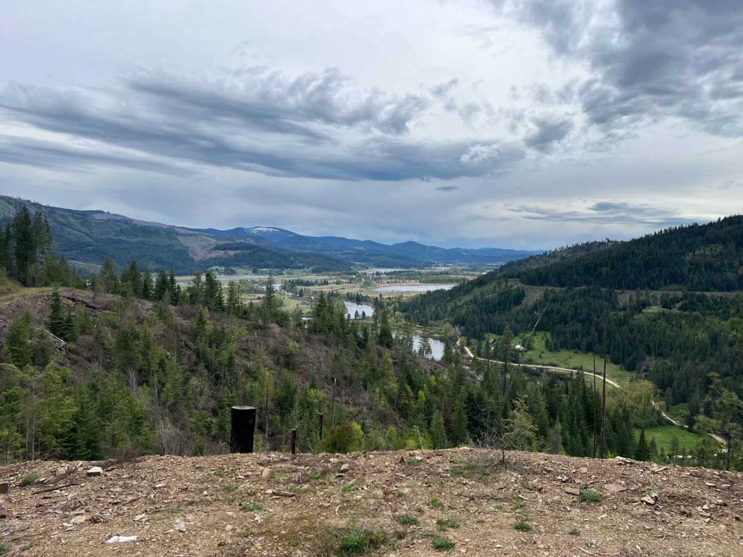
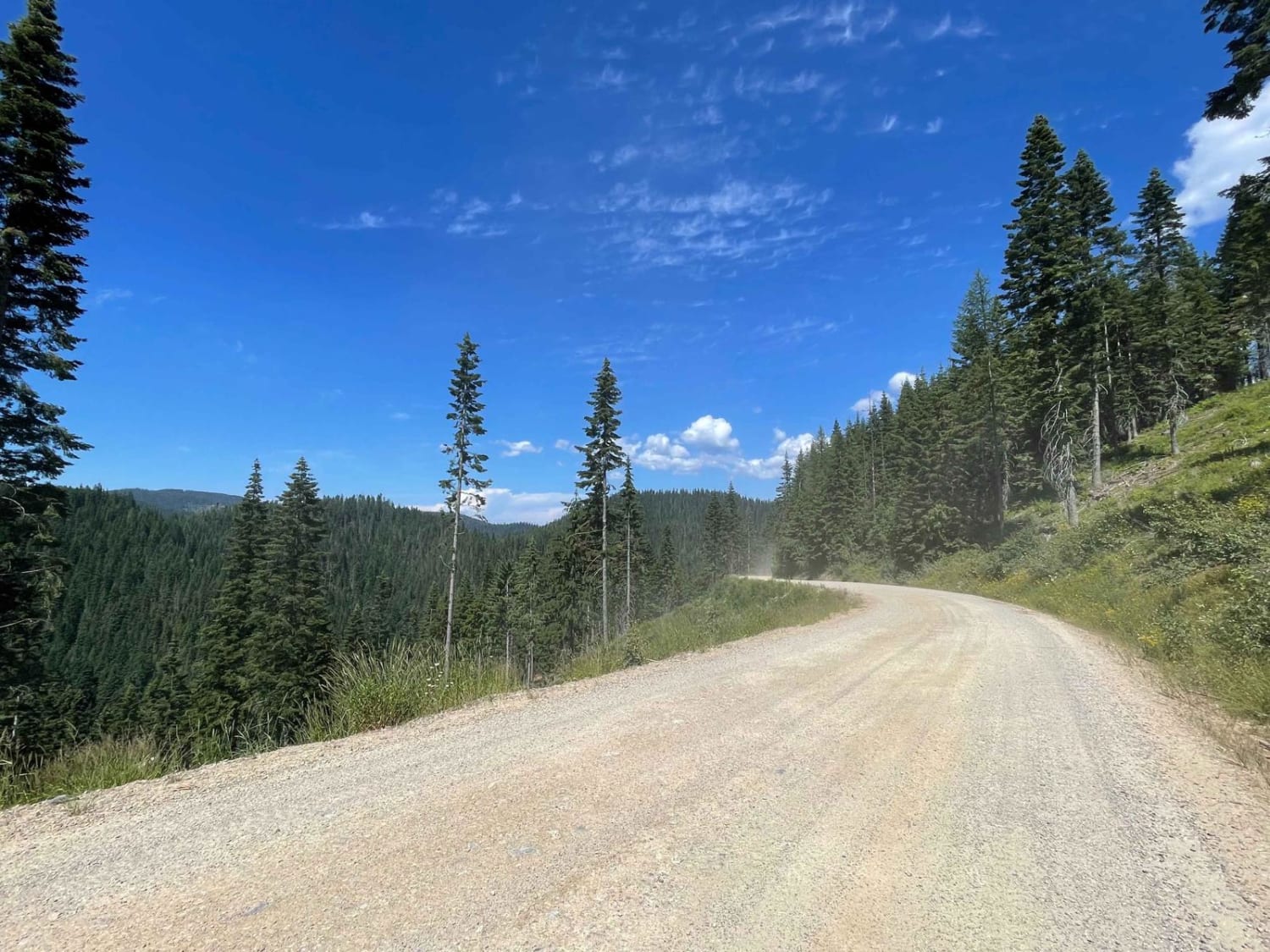
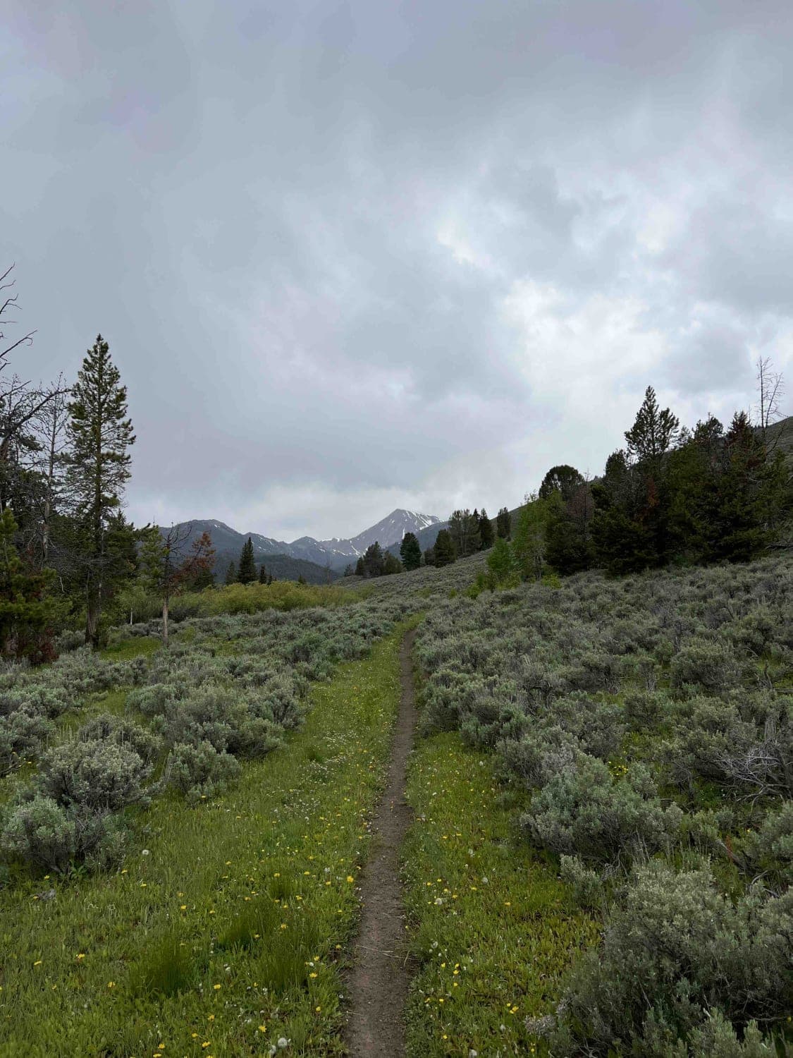
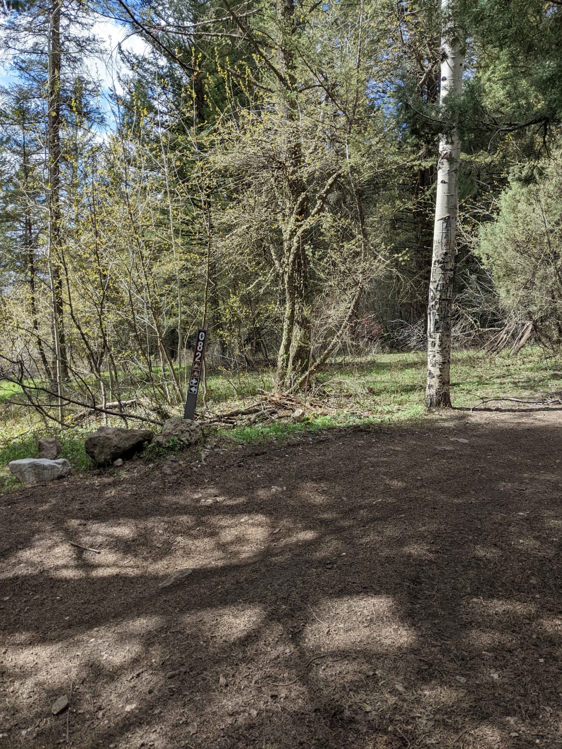
Photos of Poison Flats Trail Exploring
Difficulty
This has sections of trail that are 50 inch wide with very little area to pass in some sections. Some rocky sections do get rocky with slight off camber turns but can easily be negotiated with a little patience.
History
The Morning Glory Mine was filed in 1985 and abandoned in 1993. Other than some quartz in the area and a vein of vermiculite that could be used for early electronic tube insulation I have not been able to find the main mineral that Cavenaugh Minerals was looking for in this area.
Popular Trails

Kalarney Lake to 4th of July

Pumpjack Plateau

CDA Deception Creek

Big Timber Creek
The onX Offroad Difference
onX Offroad combines trail photos, descriptions, difficulty ratings, width restrictions, seasonality, and more in a user-friendly interface. Available on all devices, with offline access and full compatibility with CarPlay and Android Auto. Discover what you’re missing today!


