Reese Creek Road
Total Miles
6.9
Technical Rating
Best Time
Spring, Summer, Fall
Trail Type
Full-Width Road
Accessible By
Trail Overview
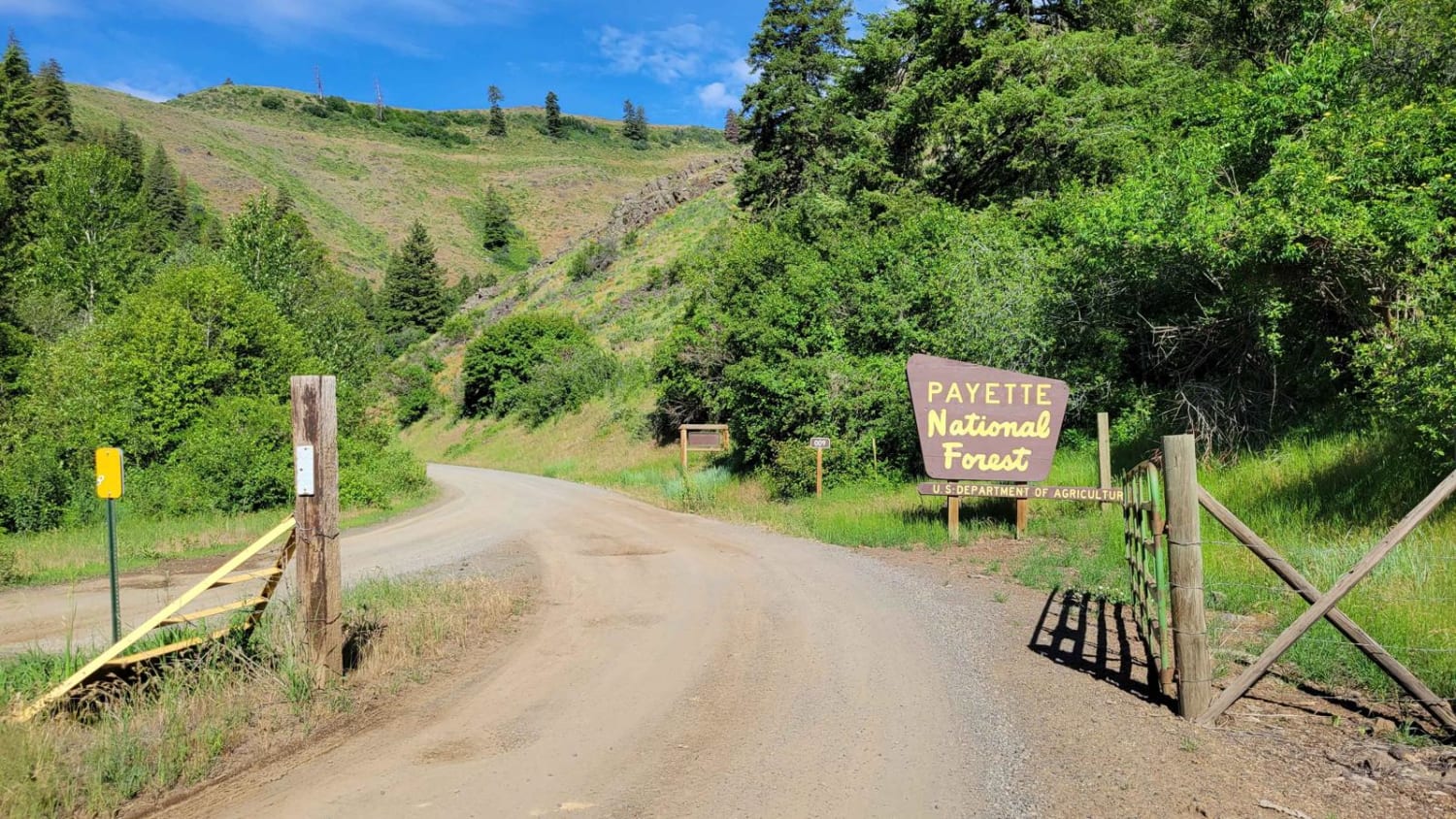
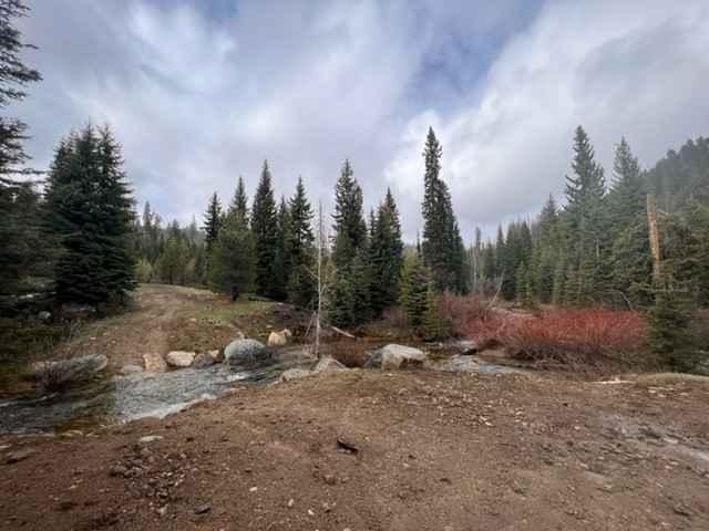
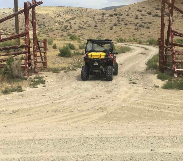
Reese Creek Road leaves the Lemhi Valley and climbs towards the Continental Divide. It is a one-lane dirt road with occasional turn-outs to allow passing for full-width vehicles and passes through the dry foothills of the Beaverhead mountain range. The quality of the tread and tread width quickly deteriorates as the road gains elevation. By the end of the surveyed portion of this road, the tread is strictly single lane, and there are some washouts that would require caution in a full-sized vehicle.
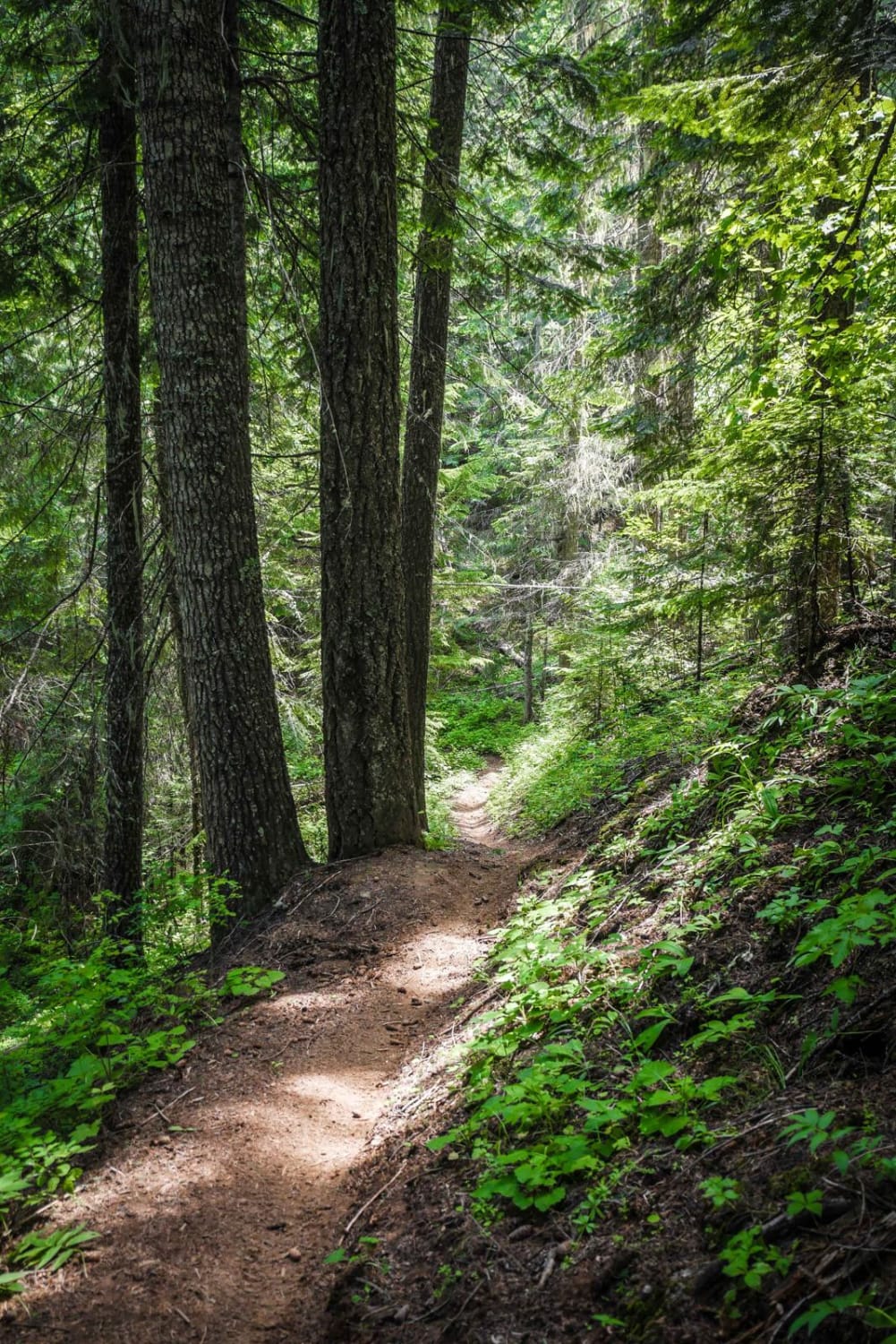
Photos of Reese Creek Road
Difficulty
At the lower elevations, this road offers little challenges to any kind of vehicle. But the road deteriorates rapidly as it gains elevation and ends up as a one-lane road with some obstacles.
Status Reports
Popular Trails

Route 352 to Chinese Peak

FR 09 - Mann Creek

East Fork Meadow Creek No. 224 (Part 1)

Full Creek Crossing
The onX Offroad Difference
onX Offroad combines trail photos, descriptions, difficulty ratings, width restrictions, seasonality, and more in a user-friendly interface. Available on all devices, with offline access and full compatibility with CarPlay and Android Auto. Discover what you’re missing today!


