Sawmill Creek
Total Miles
3.3
Technical Rating
Best Time
Summer, Fall
Trail Type
Single Track
Accessible By
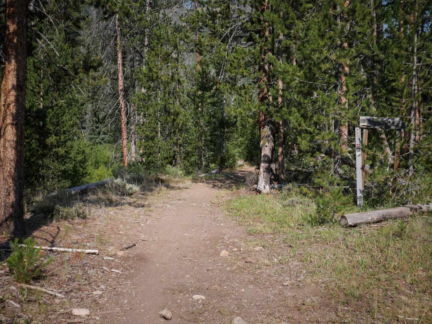
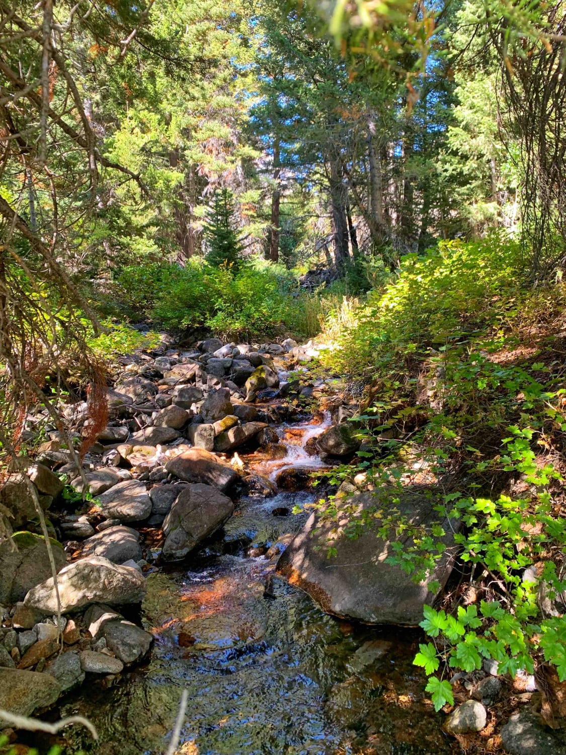
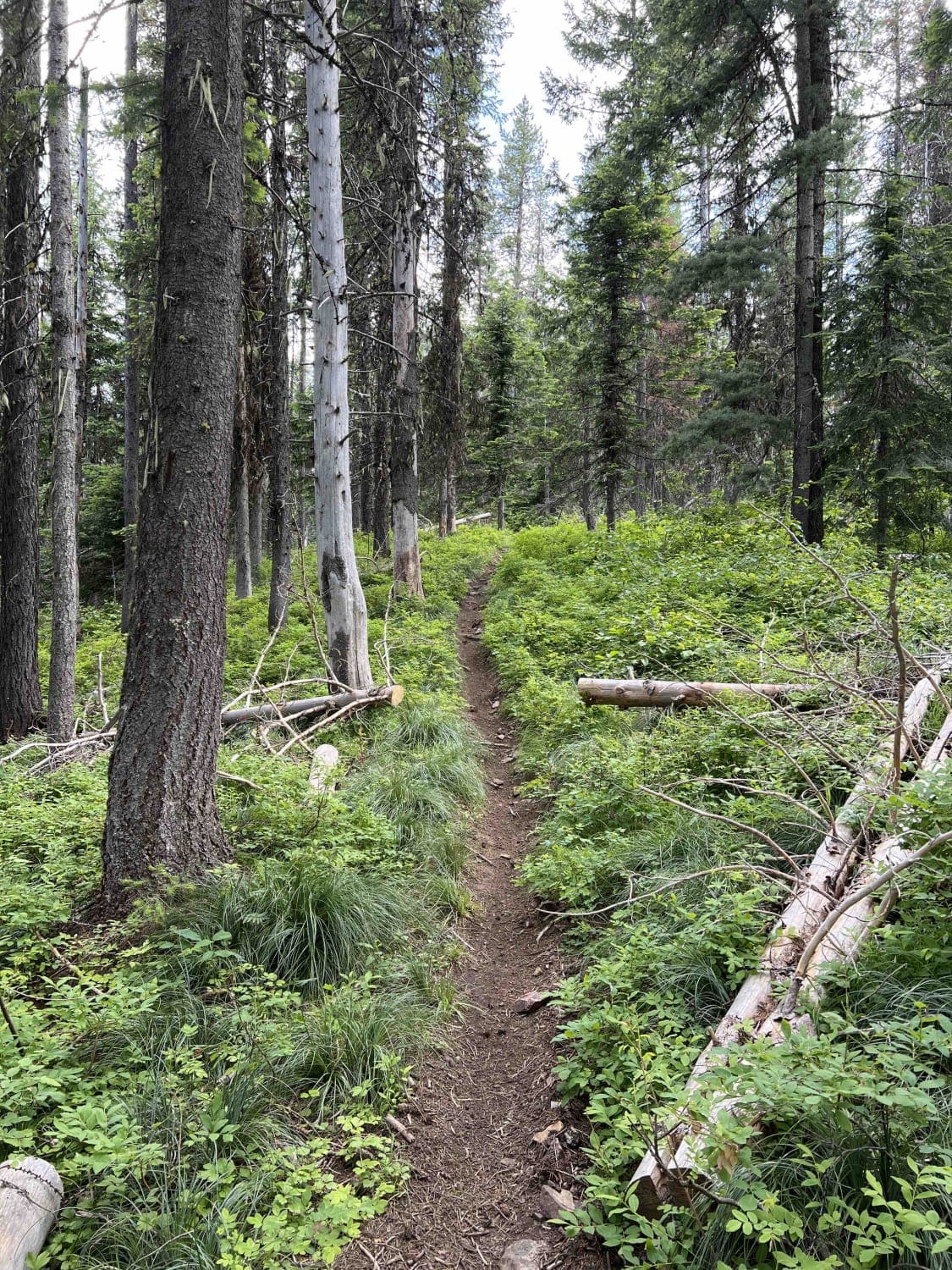
Trail Overview
Sawmill Creek is a 3.5-mile-long single track through the Challis National Forest. The east entrance starts at a trailhead at a campsite down from Sawmill Transfer Road. It starts as a narrow dirt single track paralleling the West Fork Yankee Fork River until the first river crossing. The river crossing is long with a deep spot at the end, but mostly over smooth river rocks. It goes into a rocky troughed hill climb after the river crossing that is steep and could result in inexperienced riders struggling to get up it. It continues meandering and climbing up the mountain on an exposed hillside, with root obstacles and troughs and switchbacks. There are embedded rocks in some of the switchbacks, lots of loose rock sections, and a section that crosses a scree field. Much of the trail is very steep, gaining 2,200 feet elevation. It also goes through a burn area, so although most logs were cut as of July 2024, there is always the potential for more downfall. This is a pretty popular trail though, so most likely any logs will get cut.
Photos of Sawmill Creek

Difficulty
This is an intermediate single track due to rocky climbs, rocky switchbacks, exposed hillsides, and a deep creek crossing. There are small obstacles all throughout the trail, making it consistently fun but also a good challenge for average riders.
Status Reports
Sawmill Creek can be accessed by the following ride types:
- Dirt Bike
Sawmill Creek Map
Popular Trails
Boulder Creek Left Trail
End of Brush Creek Road

Indian Head Canyon Road
The onX Offroad Difference
onX Offroad combines trail photos, descriptions, difficulty ratings, width restrictions, seasonality, and more in a user-friendly interface. Available on all devices, with offline access and full compatibility with CarPlay and Android Auto. Discover what you’re missing today!