South Fork Sheep Creek
Total Miles
5.8
Elevation
2,352.70 ft
Duration
1 Hours
Technical Rating
Best Time
Spring, Summer, Fall
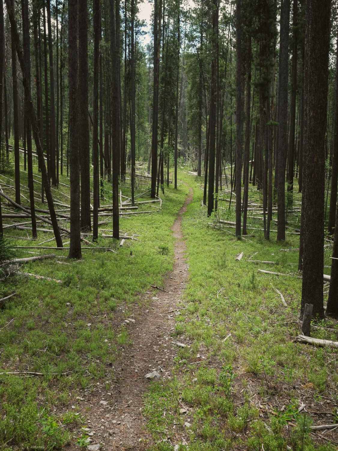
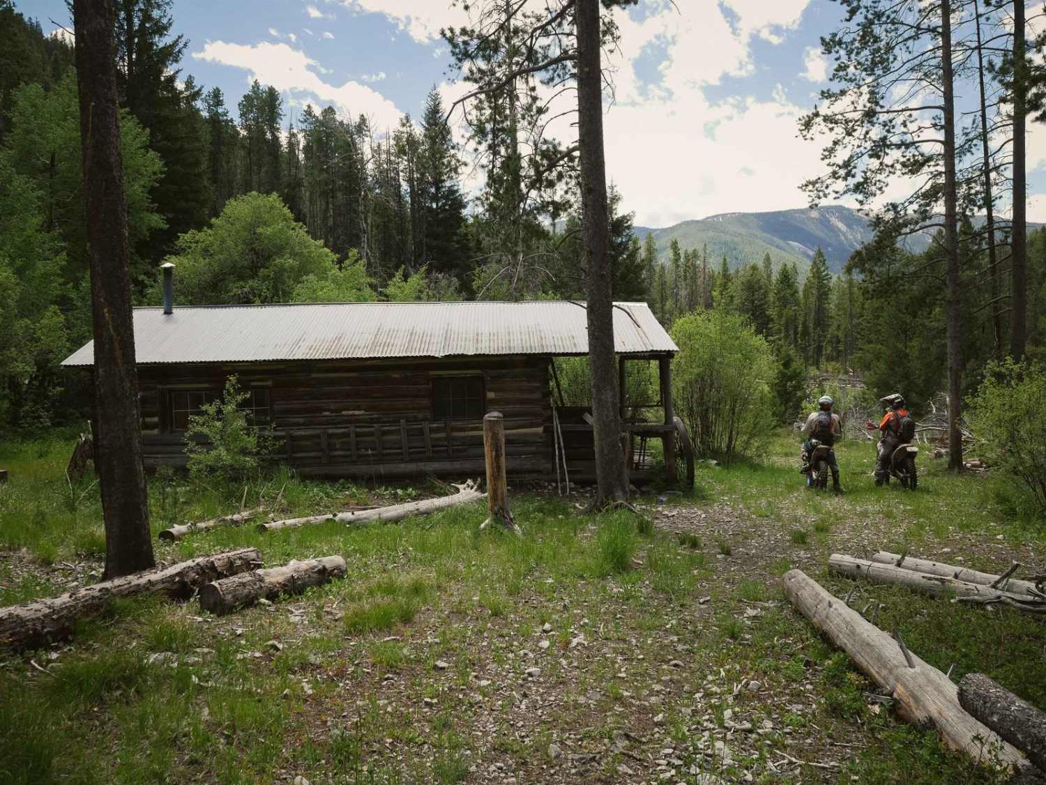
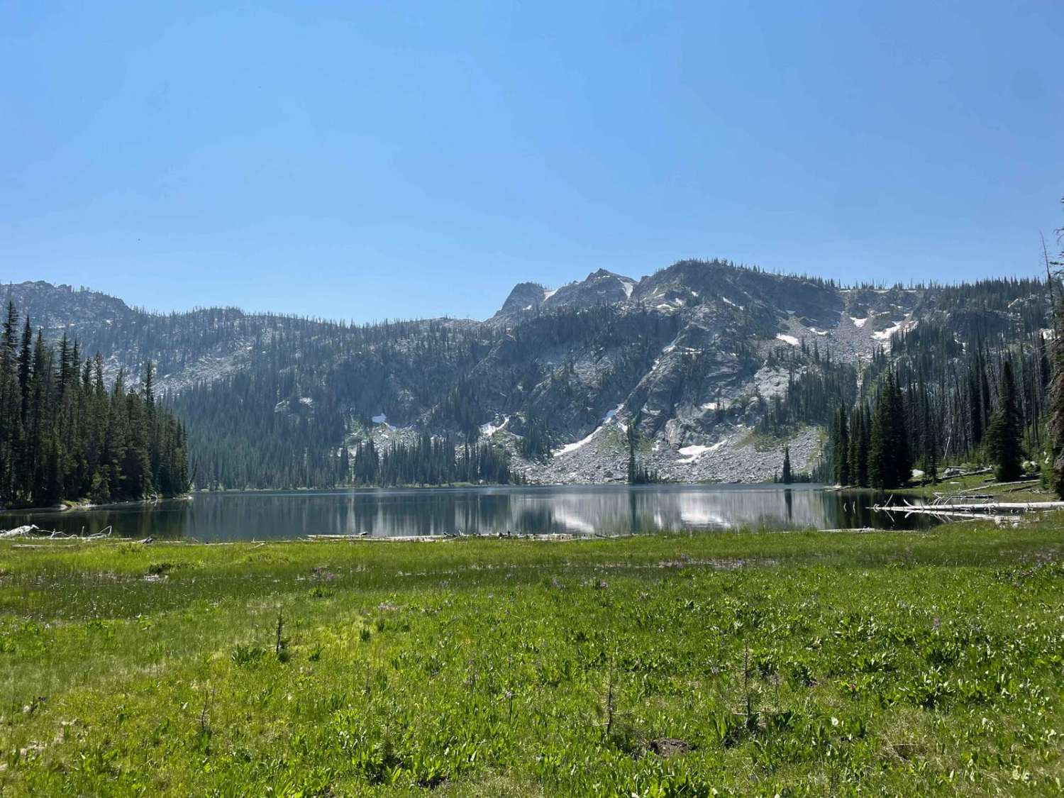
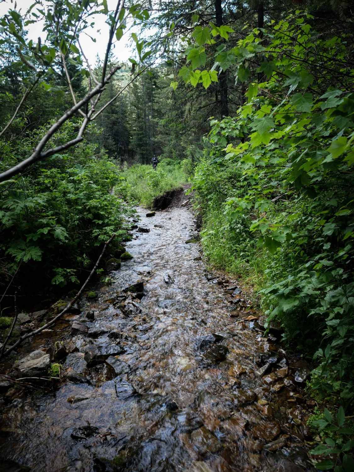
Trail Overview
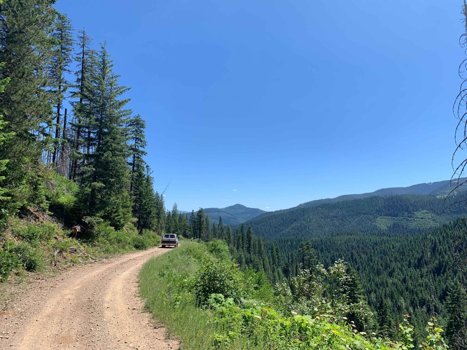
South Fork Sheep Creek is a 5.5-mile-long single track that departs from the Sheep Creek Trail, and heads south until it ends on South Fork Sheep Creek Road. The north end starts as a fast and flowy alpine single track, through pine trees, overgrown bushes, and shelfy exposed side-hills. There's lots of downfall in this forest, so there will likely be logs in the early riding season until the logs get cut. Some of the downfall can be huge, several-feet-thick pine trees. The trail has some tight corners and steep climbs as it meanders through the forest, sometimes with boulders lining the side of the trail, or small cobbles embedded in the trail, making for a bumpy rocky ride. It cuts across scree fields and passes a nice view of the surrounding Beaverhead Mountains. The trail has some river crossings that can be really burly in late spring/early summer. It crosses the creek several times, and the water can flow really fast and deep in late spring and early summer, making it really difficult or even impassable in the early season. The creek crossings won't be as difficult later in the summer/fall. There can be logs in the creek crossings too, making it even harder.
Photos of South Fork Sheep Creek

Difficulty
This is intermediate difficulty due to narrow exposed sections, steep climbs and descents, and river crossings that can be really fast and deep in the early riding season.
Status Reports
Popular Trails
Sheep Creek
Yellow Dog (513)
The onX Offroad Difference
onX Offroad combines trail photos, descriptions, difficulty ratings, width restrictions, seasonality, and more in a user-friendly interface. Available on all devices, with offline access and full compatibility with CarPlay and Android Auto. Discover what you’re missing today!