Upper Hazard
Total Miles
2.7
Technical Rating
Best Time
Summer, Fall
Trail Type
Single Track
Accessible By
Trail Overview
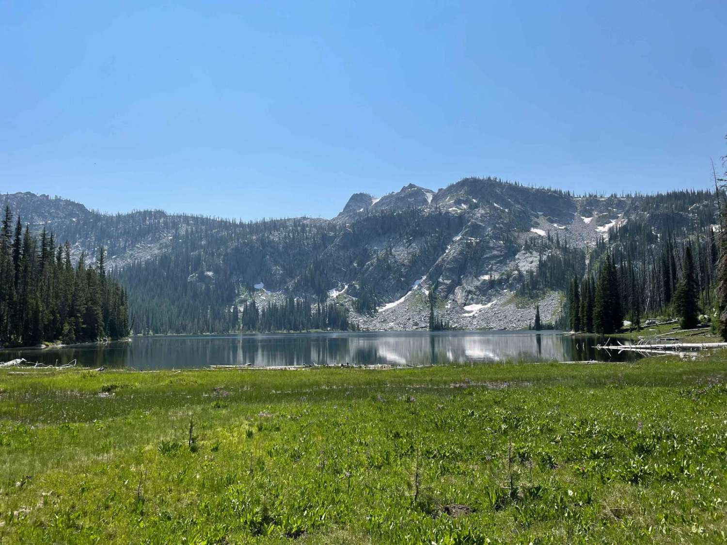
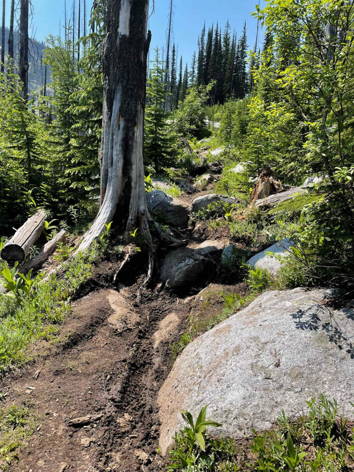
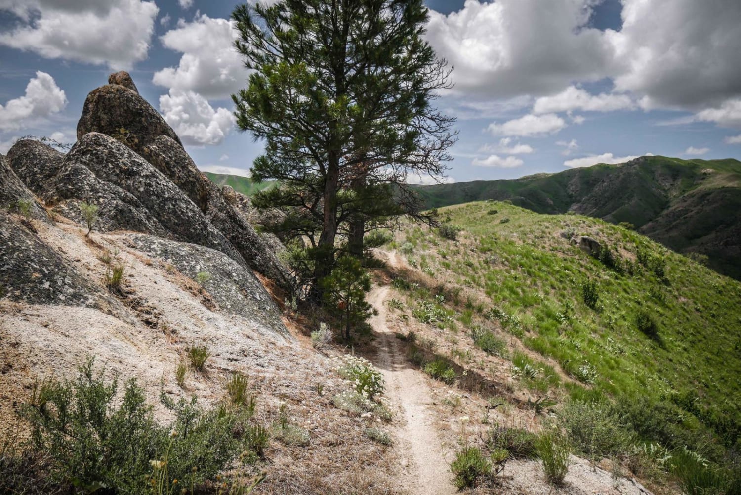
Starting at the Upper Hazard Trailhead near the Hazard Lake Campground, this singletrack begins with a smooth, flat, and flowy path that is well-defined through a beautiful meadow, making for an easy and enjoyable start for any skill level. However, as the trail continues south, the second half becomes more technical and rocky, with some downed trees that require jumping or navigating around. The trail features two scenic lake views: Upper Hazard Lake and Hard Creek Lake. The second half of the trail is semi-difficult, with several challenging sections, including a rutted, rocky switchback that could be difficult for newer riders, and some ramped boulder rock faces that you have to go up. You'll likely run into hikers and fly fishermen on the trail. The trail is relatively flat overall with minimal elevation gain or loss. It can be hot and buggy here in the summer, but the area also receives a decent amount of rain, and since it's at over 7,000 feet elevation, the trail can still have snow in early summer.
Photos of Upper Hazard
Difficulty
This trail is rated a 4 difficulty because its initial section is smooth, flat, and flowy, making it accessible and enjoyable for most riders, while the second half of the trail becomes more technical with rocky areas and downed trees.
Status Reports
Popular Trails

South Fork Sheep Creek
Deer Creek Dugouts
McBride Creek and Jump Creek Road
The onX Offroad Difference
onX Offroad combines trail photos, descriptions, difficulty ratings, width restrictions, seasonality, and more in a user-friendly interface. Available on all devices, with offline access and full compatibility with CarPlay and Android Auto. Discover what you’re missing today!
