Telephone Ridge Trail #112
Total Miles
5.0
Technical Rating
Best Time
Summer
Trail Type
50" Trail
Accessible By
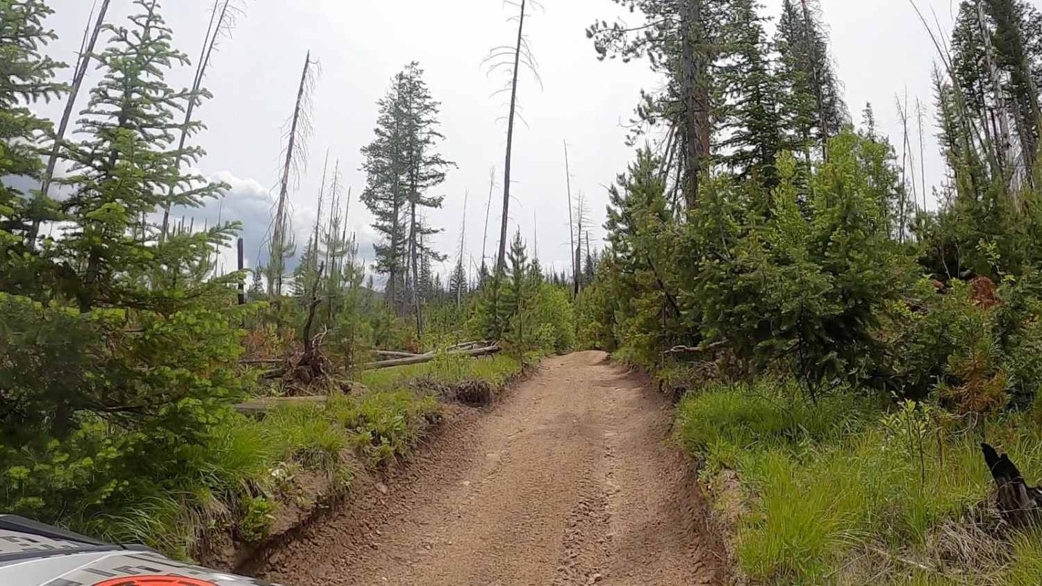
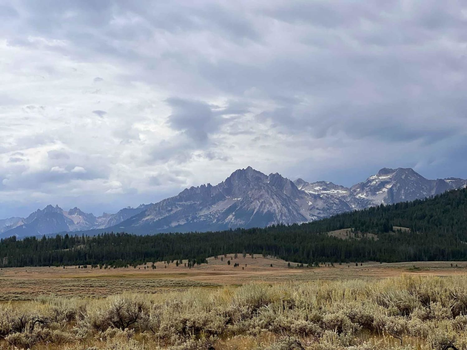
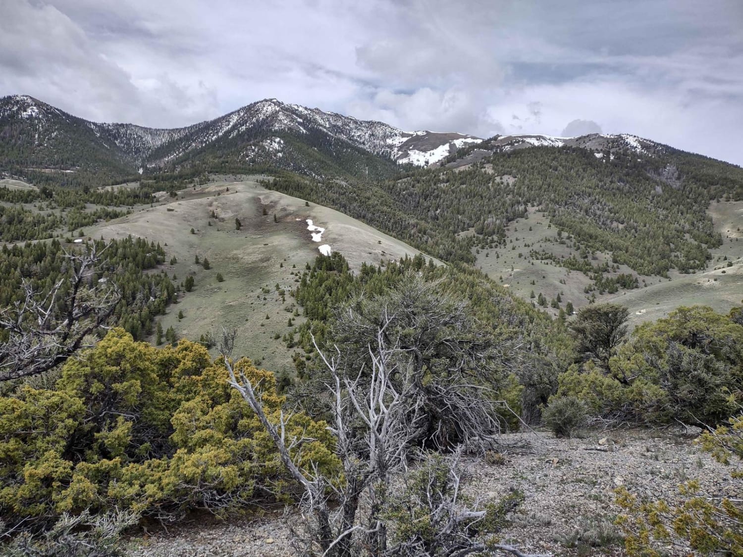
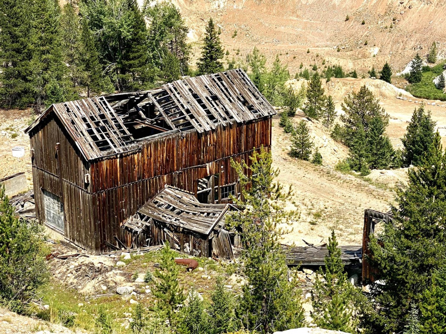
Trail Overview
The Telephone Ridge Trail leaves from Forest Service Road 474 at an elevation of 5,540. This is a 50-inch trail that turns to a motorcycle trail after approximately 5 miles for a total of 10 miles round trip. The trail starts with a steep switchback and eventually climbs to an elevation of just over 8,000 feet. The trail crosses several ridges and gives great views of Stolle Meadows. The trail crosses the burn scar of the Cascade Complex Fire from 2007. Due to the fire, there is constant deadfall on the trail; be prepared to clear trees at any given time.
Photos of Telephone Ridge Trail #112

Difficulty
The trail starts with a steep switchback that may require a 2-point turn. There are several other steep switchbacks and few steep climbs, however, overall the trail is moderate to easy in spots.

Popular Trails
Stanley Creek
Alder Creek Loop at Chimney Gulch

Twin Peaks Lookout Tower
The onX Offroad Difference
onX Offroad combines trail photos, descriptions, difficulty ratings, width restrictions, seasonality, and more in a user-friendly interface. Available on all devices, with offline access and full compatibility with CarPlay and Android Auto. Discover what you’re missing today!