Trail 136
Total Miles
3.8
Technical Rating
Best Time
Spring, Summer, Fall
Trail Type
50" Trail
Accessible By
Trail Overview
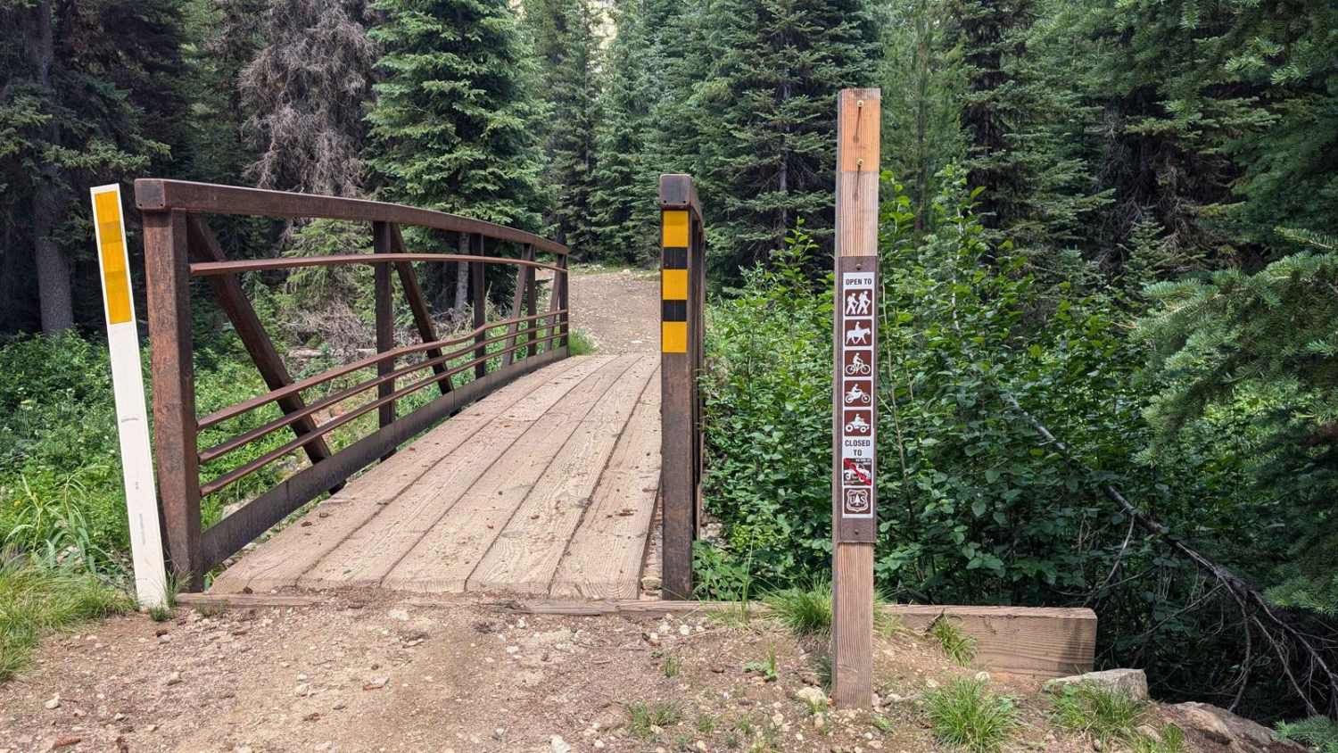
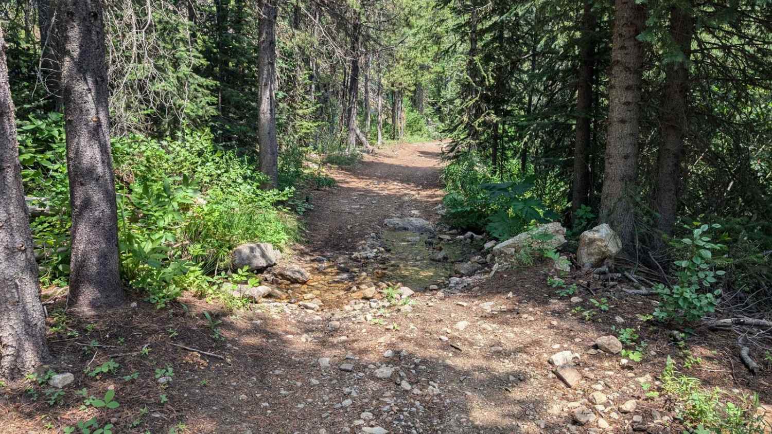
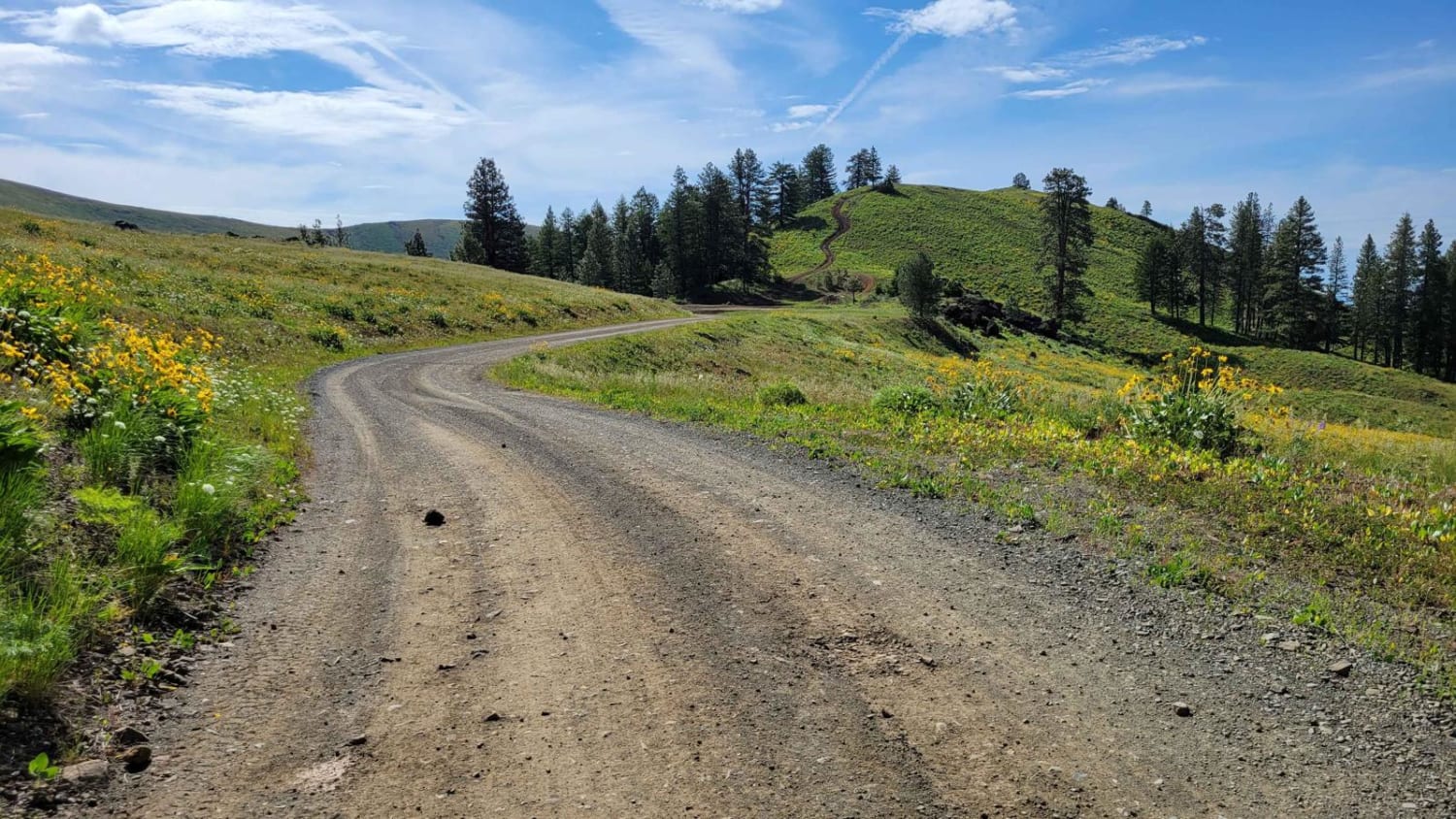
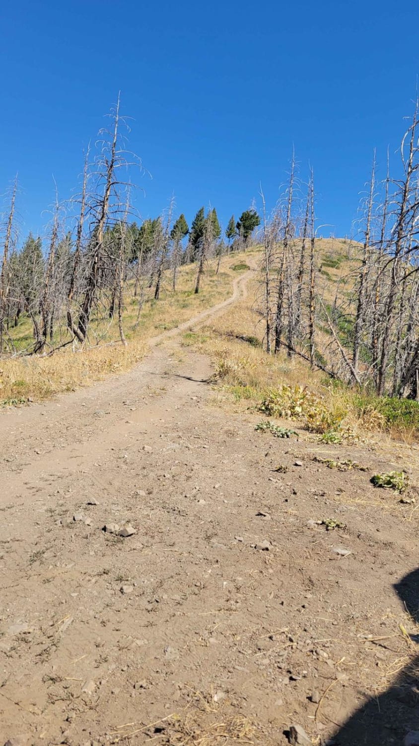
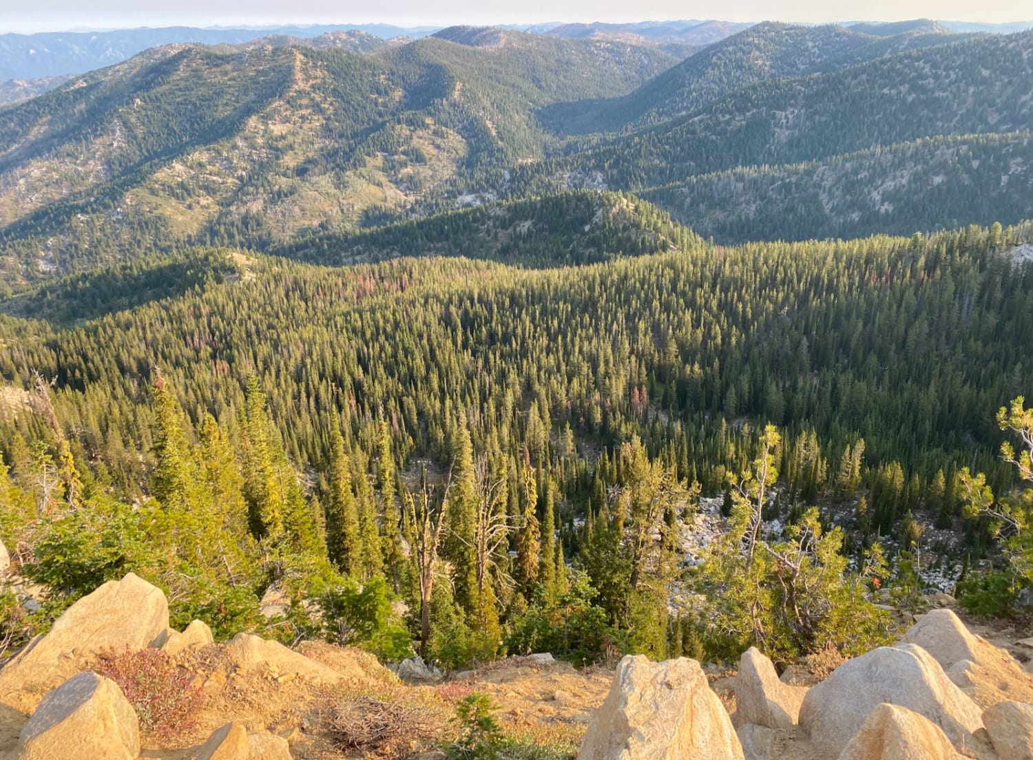
Trail 136 begins at the end of FSR 50329 (FSR 329/Willow Creek Road). It is accessed by crossing Willow Creek on a narrow bridge. The bridge is only wide enough to accommodate ATVs, motorcycles, bicycles, horseback riders, and hikers. No Side x Sides or larger off-road vehicles are allowed. This trail is an exceedingly fun 7.6-mile ride. There are switchbacks that take the rider higher into the pine trees and a shrubby forest floor. The rollercoaster sections can have shallow water across the trail in low areas. There are several short, steep climbs and rocky areas. There are areas where the trees thin and there are views of the surrounding mountains and valleys. If traveling from FSR 50325 (Grouse Creek-Marshall Mountain Road) by Side x Side or larger off-road vehicle, do not turn on Trail 136. It is narrow and you will not be able to cross the bridge over Willow Creek to continue on FSR 50329 (FSR 329/Willow Creek Road). This trail is located in the Payette National Forest and the McCall Ranger District.
Photos of Trail 136
Difficulty
There are short, steep grades, and some sections that require navigating larger rocks. This is a narrow trail. Spots wide enough to pull over or pass are few, especially in the switchback section of the trail.
Status Reports
Trail 136 can be accessed by the following ride types:
- ATV (50")
- Dirt Bike
Trail 136 Map
Popular Trails
NR 019 - Bear Creek Saddle
Warm Springs Creek Trail
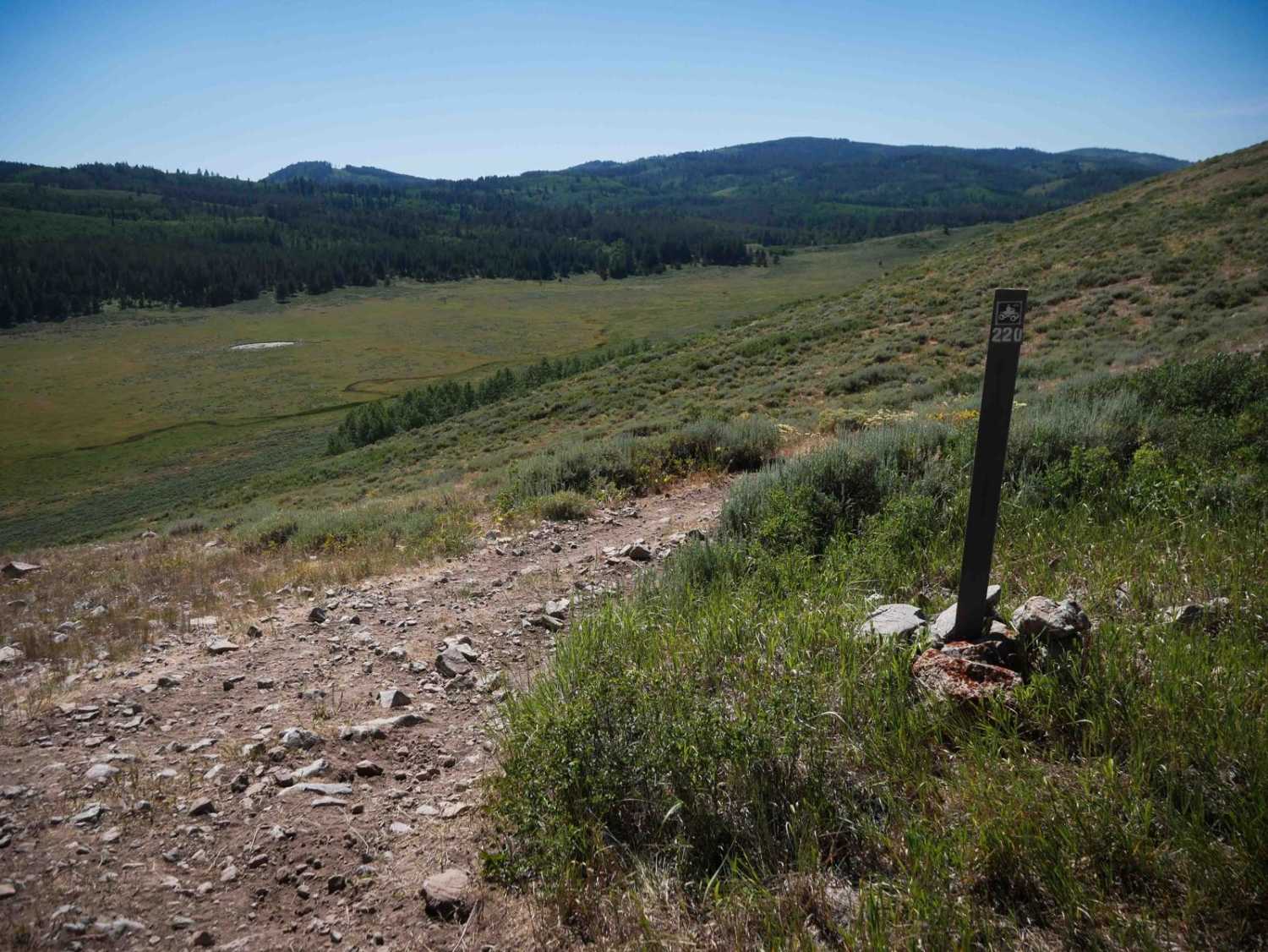
The Ponds #5220
The onX Offroad Difference
onX Offroad combines trail photos, descriptions, difficulty ratings, width restrictions, seasonality, and more in a user-friendly interface. Available on all devices, with offline access and full compatibility with CarPlay and Android Auto. Discover what you’re missing today!