Turner Peak
Total Miles
5.1
Elevation
1,762.06 ft
Duration
0.75 Hours
Technical Rating
Best Time
Summer, Fall
Trail Overview
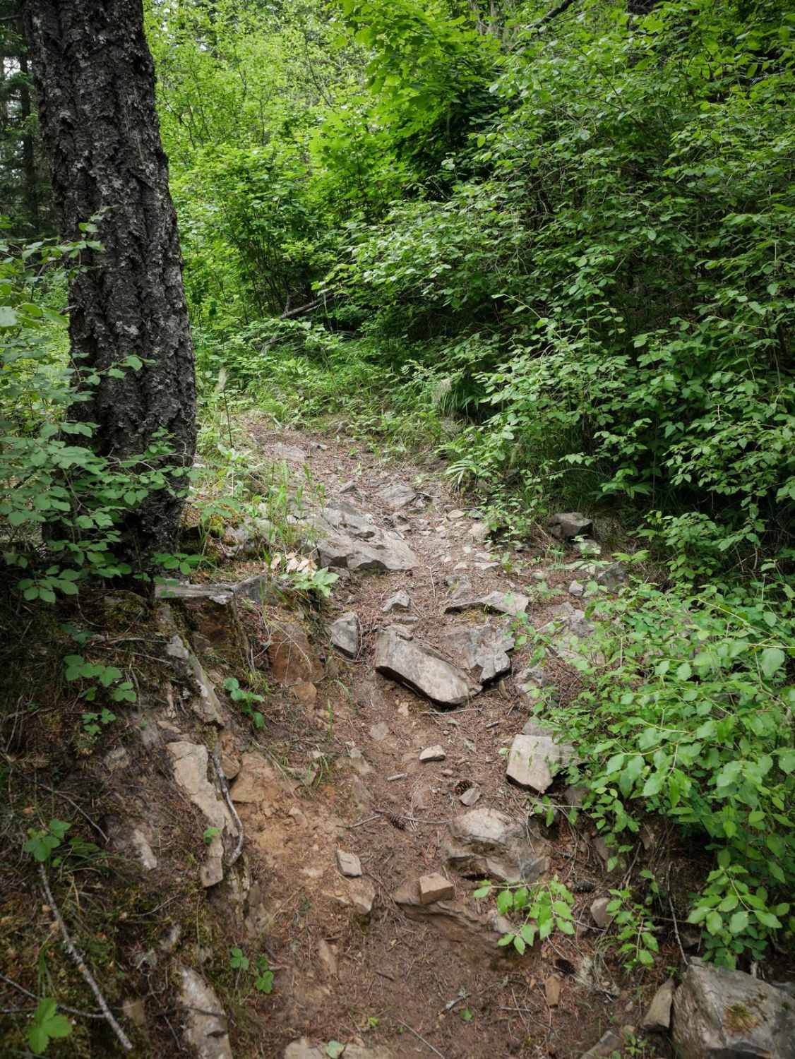
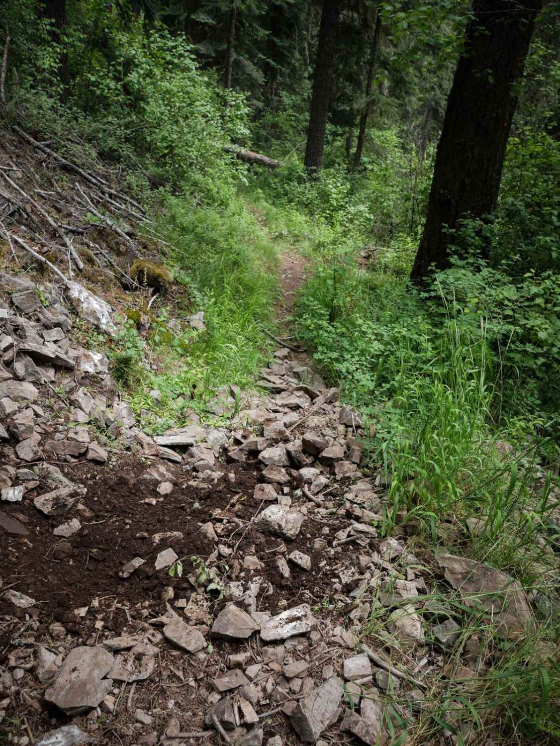
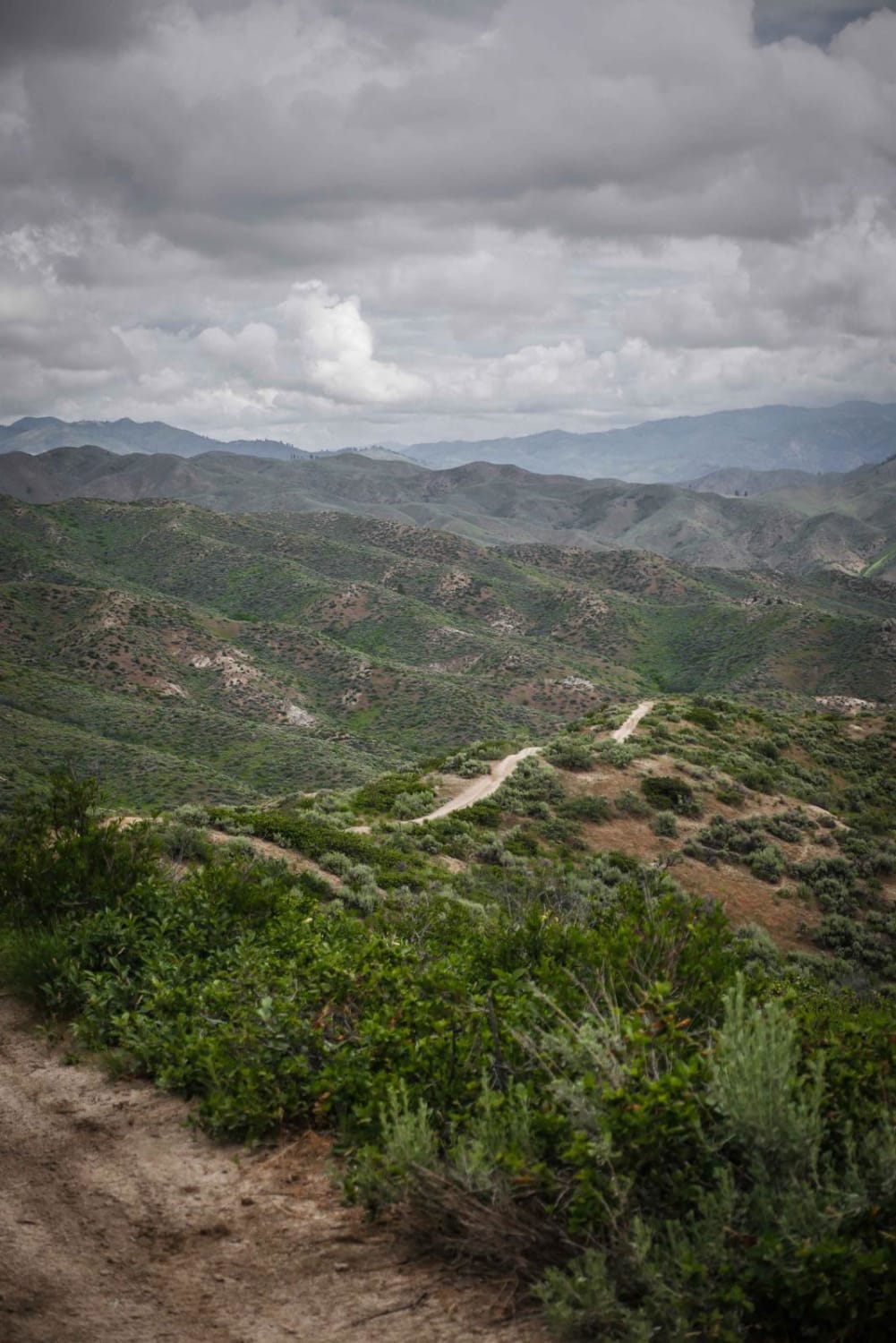
Turner Peak is a narrow, windy, and shelfy trail through a rainforest-like terrain. The south end starts from the shoulder of St. Joe River Road, right off of the pavement, at the trail sign. It starts climbing up from the road right away with several switchbacks, and gets right up next to the edge, overlooking the St. Joe River from way high up. It has a lot of steep rocky climbs that are full of loose rocks which are a good challenge. It side-hills along the open mountainside, in and out of tall pine tree sections. There are also plenty of spots without exposure, that are more fast and flowy. A lot of it goes along a ridge line with awesome views out over the edge of the mountains, with windy tight corners. It also has sections that are wider, more like a two-track, but also with windy tight corners through the trees. The second half of the trail is pretty smooth and has fewer rocks than the first half, but also has lots of small roots in the trail. After gradually gaining 3,300 feet over 5 miles, it ends on a dirt road near the summit of Turner Peak.
Photos of Turner Peak
Difficulty
This is an intermediate single track due to many narrow exposed sections of side hilling, switchbacks, and rocky sections. The southern half is rockier than the northern half.
Status Reports
Popular Trails
Doublespring Pass
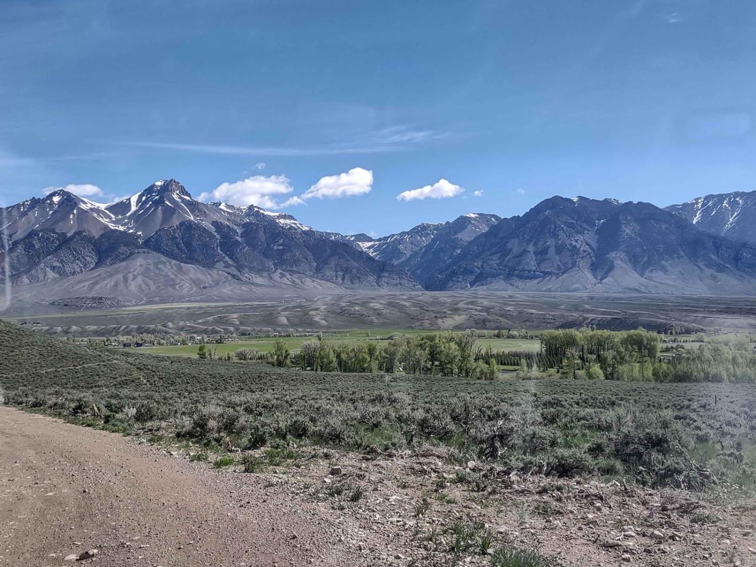
Leslie, ID, to Mackay
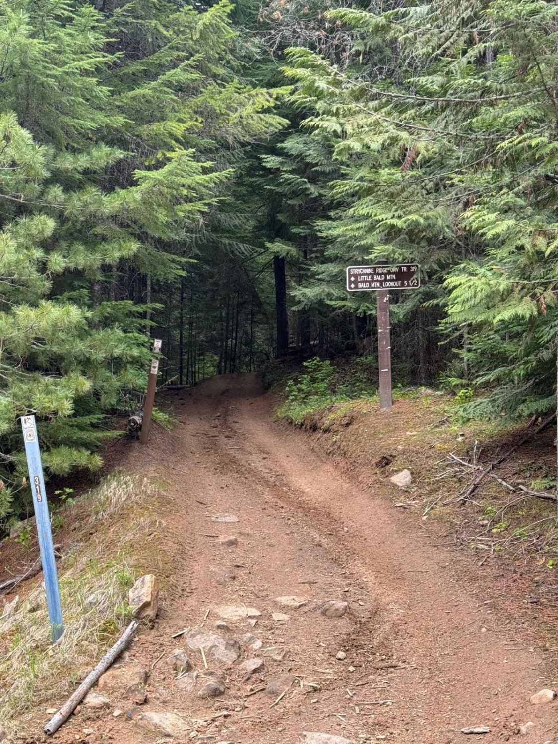
Strychnine Ridge (Trail 319)
The onX Offroad Difference
onX Offroad combines trail photos, descriptions, difficulty ratings, width restrictions, seasonality, and more in a user-friendly interface. Available on all devices, with offline access and full compatibility with CarPlay and Android Auto. Discover what you’re missing today!
