Strychnine Ridge (Trail 319)
Total Miles
4.3
Technical Rating
Best Time
Summer, Fall
Trail Type
50" Trail
Accessible By
Trail Overview
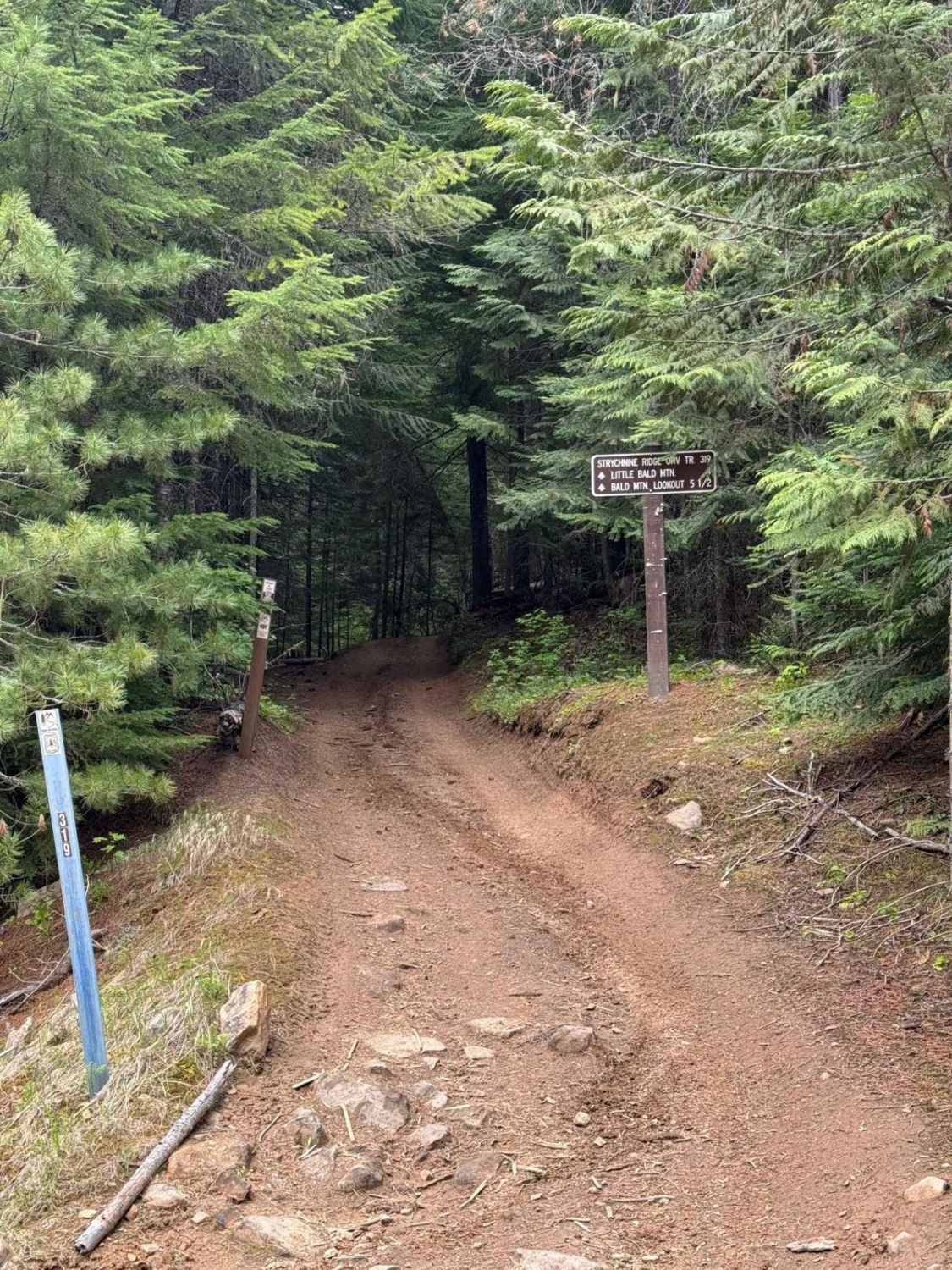
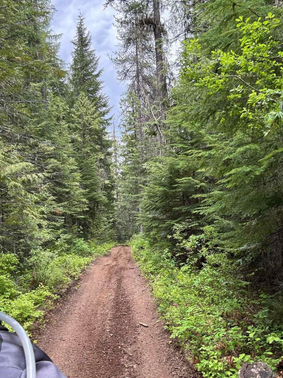
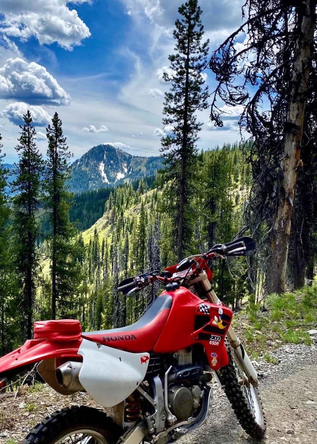
The Strychnine Ridge Trail begins at the Strychnine Creek Trailhead and takes off uphill into the timber before spitting you out into the open and sending you up the ridge. The trail follows the ridgetop on a fairly recently rebuilt section of the trail. You'll work your way through the clearing before eventually jumping back into the timber where the fun really begins. You'll very quickly begin the continuous ascent of over 1,000 feet up Little Bald Mountain/Bald Mountain. This portion is a blast--short straights that go into banked switchback corners that really flow nicely. You'll get a few short moments of reprieve from the climb along the way until you get spit back out of the timber and onto the summit of Little Bald Mountain. The trail drops back down for a short distance, then crosses a road before heading back into the timber and beginning the climb up to the intersection with the Beason Meadows Trail (Trail 228, which is a single-track trail up to this intersection). From here, the trail turns into the ATV width portion of the Beason Meadows Trail and goes up to the summit of Bald Mountain, spitting you out at the base of the Bald Mountain Lookout Tower.
Photos of Strychnine Ridge (Trail 319)
Difficulty
There are some steeper rockier sections and some slightly challenging portions.
History
The trail is named for the creek found at the bottom of the trail, Strychnine Creek. The origin of the creek's name is steeped in local lore. As the story goes, a group of miners, after finding no gold, abandoned the area. Later on, they discovered that a group of Chinese miners had started working the area and discovered gold, so they poisoned the creek with strychnine to get rid of the Chinese miners and take the gold.
Status Reports
Strychnine Ridge (Trail 319) can be accessed by the following ride types:
- ATV (50")
- Dirt Bike
Strychnine Ridge (Trail 319) Map
Popular Trails

Butcher Knife

Camas Creek Trail

Meadow - Sadie Springs #5225
The onX Offroad Difference
onX Offroad combines trail photos, descriptions, difficulty ratings, width restrictions, seasonality, and more in a user-friendly interface. Available on all devices, with offline access and full compatibility with CarPlay and Android Auto. Discover what you’re missing today!


