Muddy Levee Road
Total Miles
2.7
Technical Rating
Best Time
Spring, Summer, Fall, Winter
Trail Type
Full-Width Road
Accessible By
Trail Overview
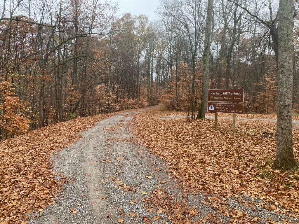
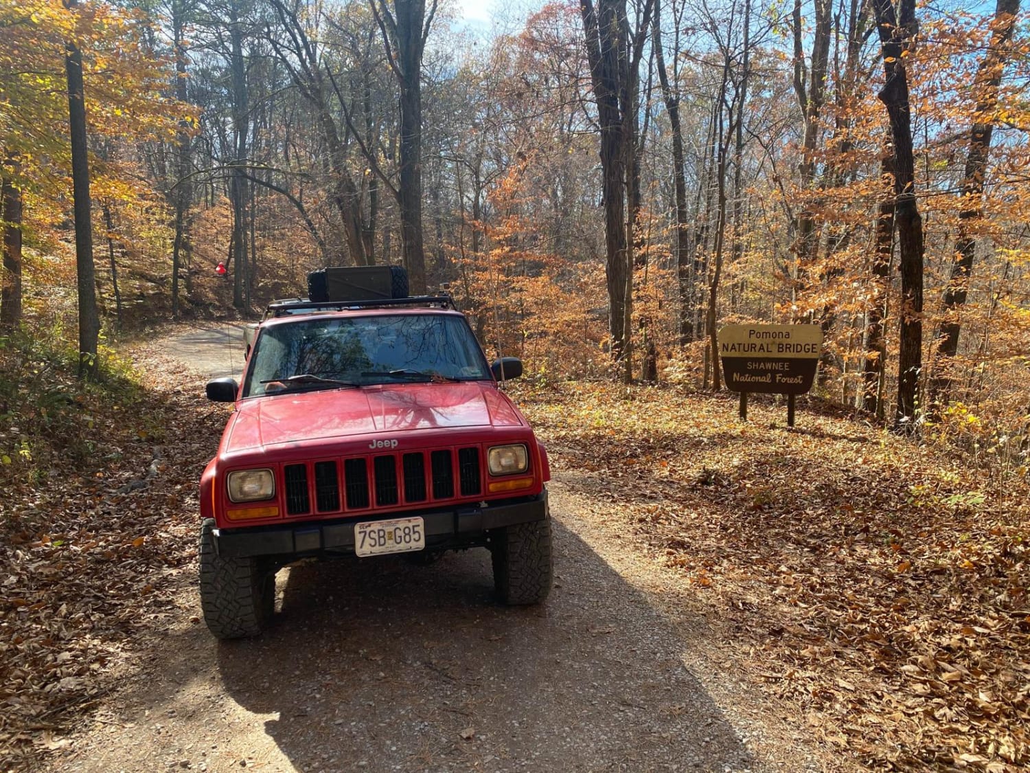
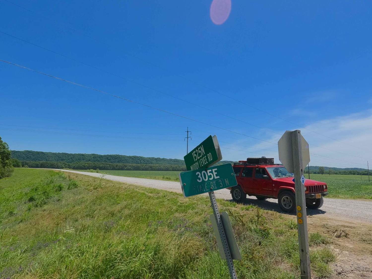
Muddy Levee Road, not to be confused with Big Muddy Levee Road, is the gravel levee road along the southeast side of Big Muddy River, crossing over Levee District land, and Shawnee National Forest, to enter the LaRue-Pine Hills Natural Research Area. The road is commonly used as the gateway access to the point of interest called Inspiration Point. It provides a graceful and scenic ride, featuring a raised-up view over the wildlife and scenery surrounding it, from the LaRue swamps and pond land to the Missouri Pacific iron train bridge, and lastly the nostalgic 120+ foot tall Limestone Bluff this area is known for. Stay on the levee top, and don't leave the road, most of the offshoots lead to private property or non-motorized public land. Refer to the Shawnee National Forest's rules and regulations for further guidance.
Photos of Muddy Levee Road
Difficulty
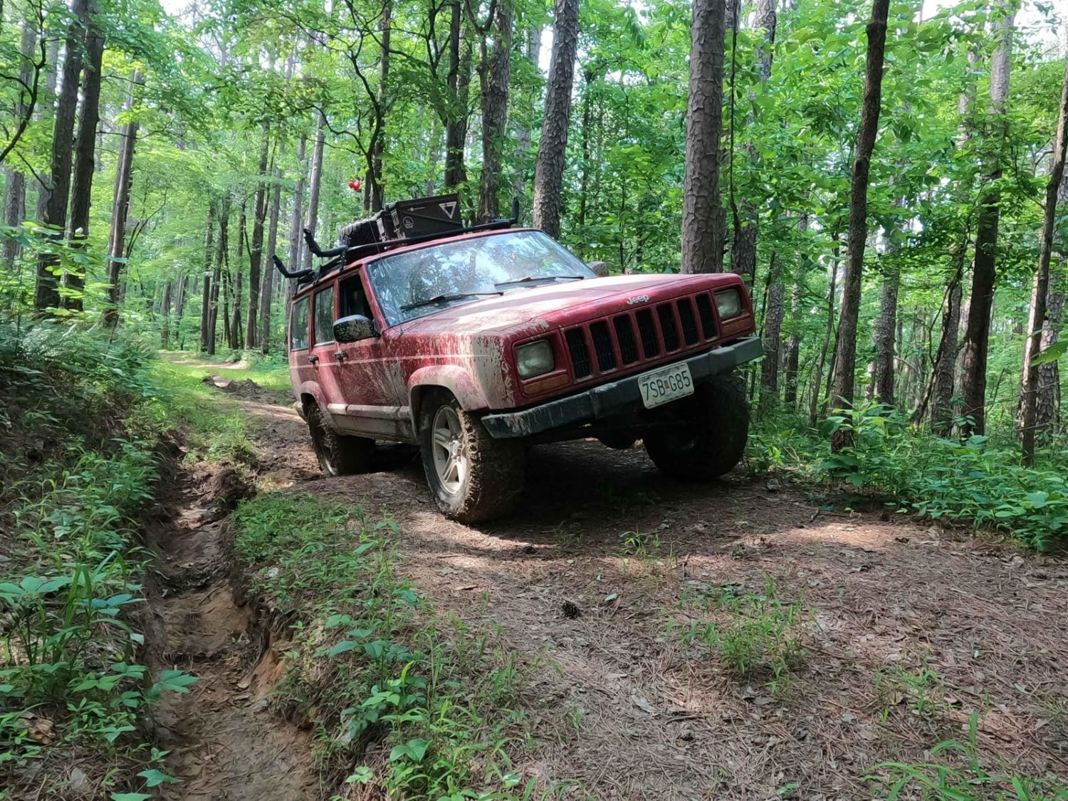
Muddy Levee Road is a 1/10 well-maintained gravel road and is generally flat, great for a backroad cruise to get away from the paved roads. With minimal complications, you will likely experience deep potholes, washboarding, and mounding of the gravel in between maintenance cycles.
Status Reports
Popular Trails

Atwood Road SFR 266

Dennison FSR 106

Muddy Levee Road

Natural Bridge Road
The onX Offroad Difference
onX Offroad combines trail photos, descriptions, difficulty ratings, width restrictions, seasonality, and more in a user-friendly interface. Available on all devices, with offline access and full compatibility with CarPlay and Android Auto. Discover what you’re missing today!

