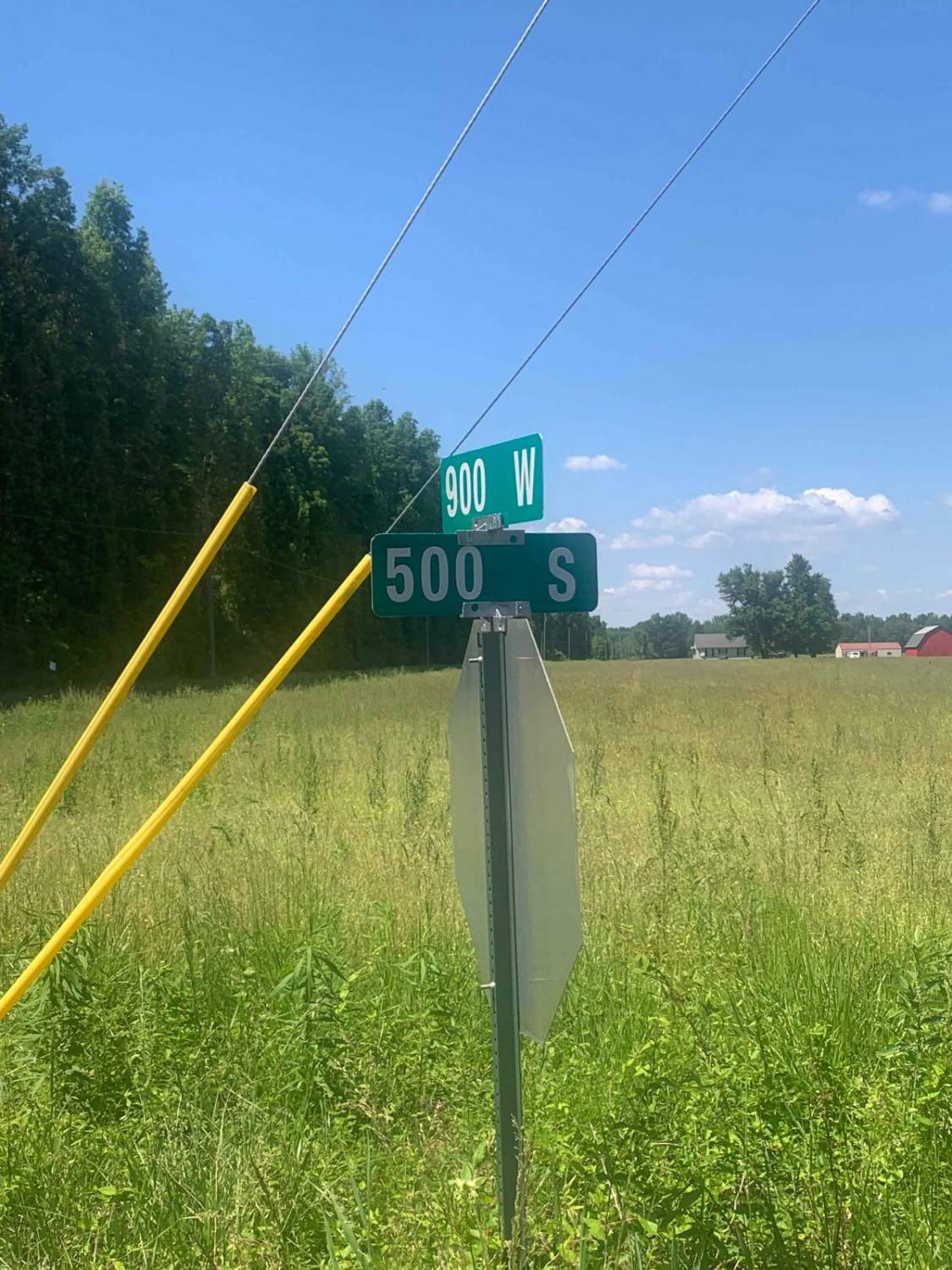
County Road 500 South
Total Miles
2.0
Technical Rating
Best Time
Spring, Summer, Fall, Winter
Trail Type
Full-Width Road
Accessible By
Trail Overview
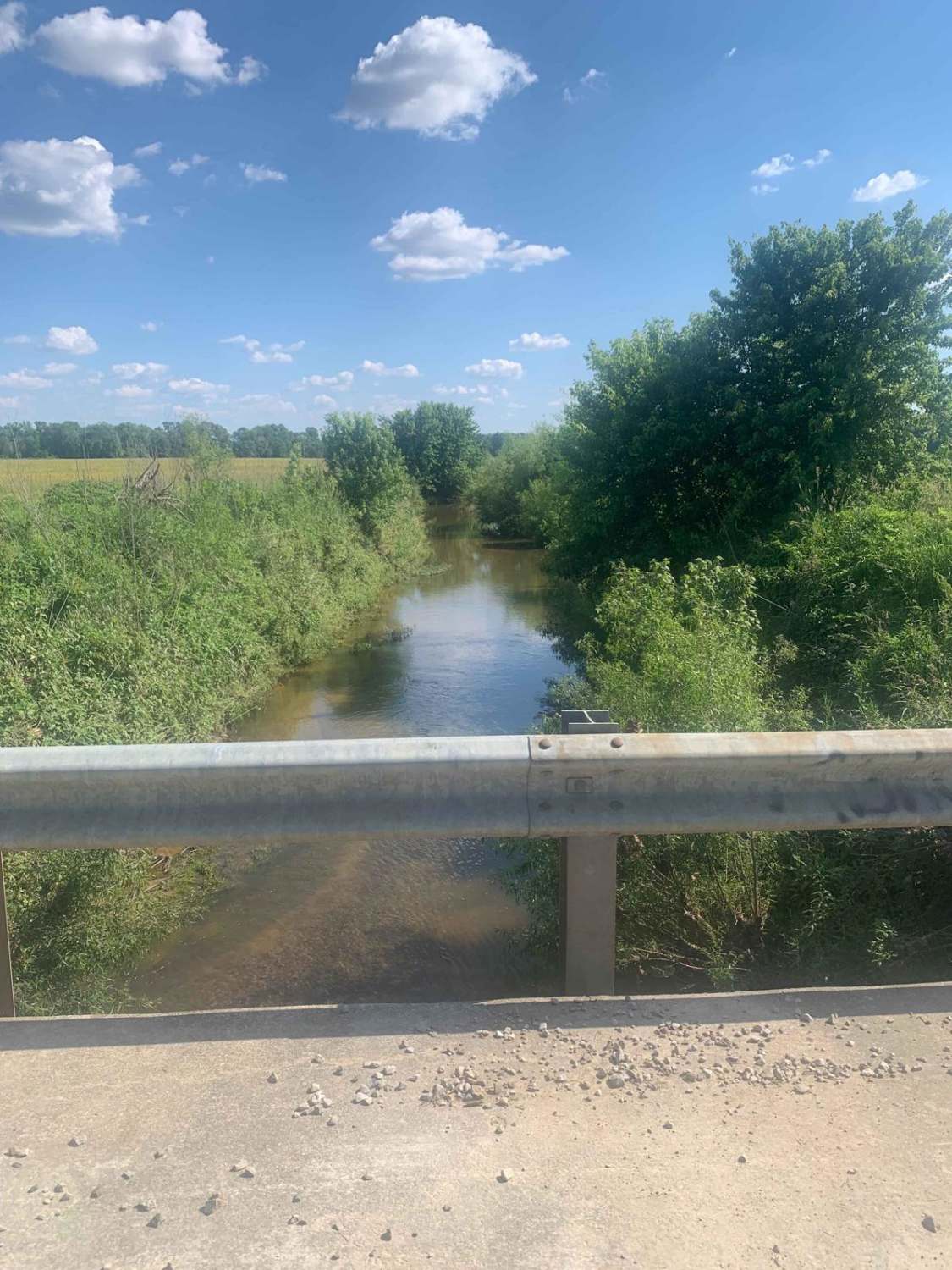
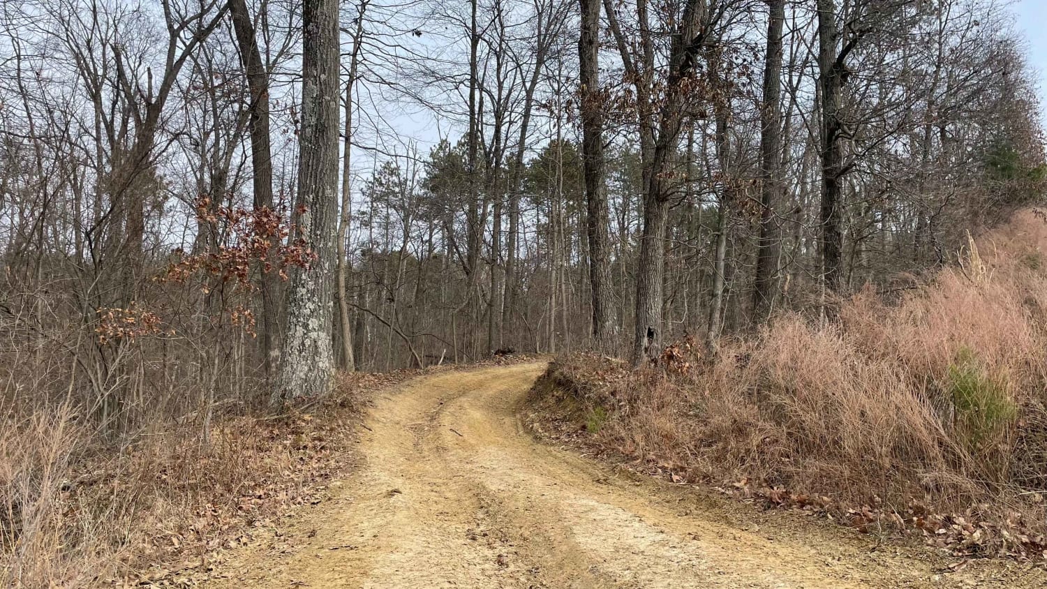
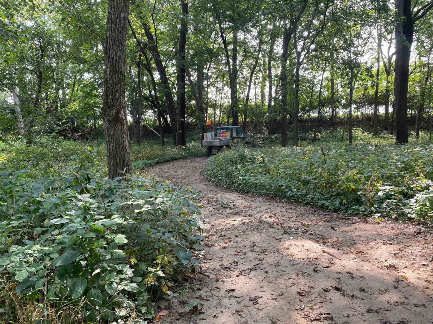
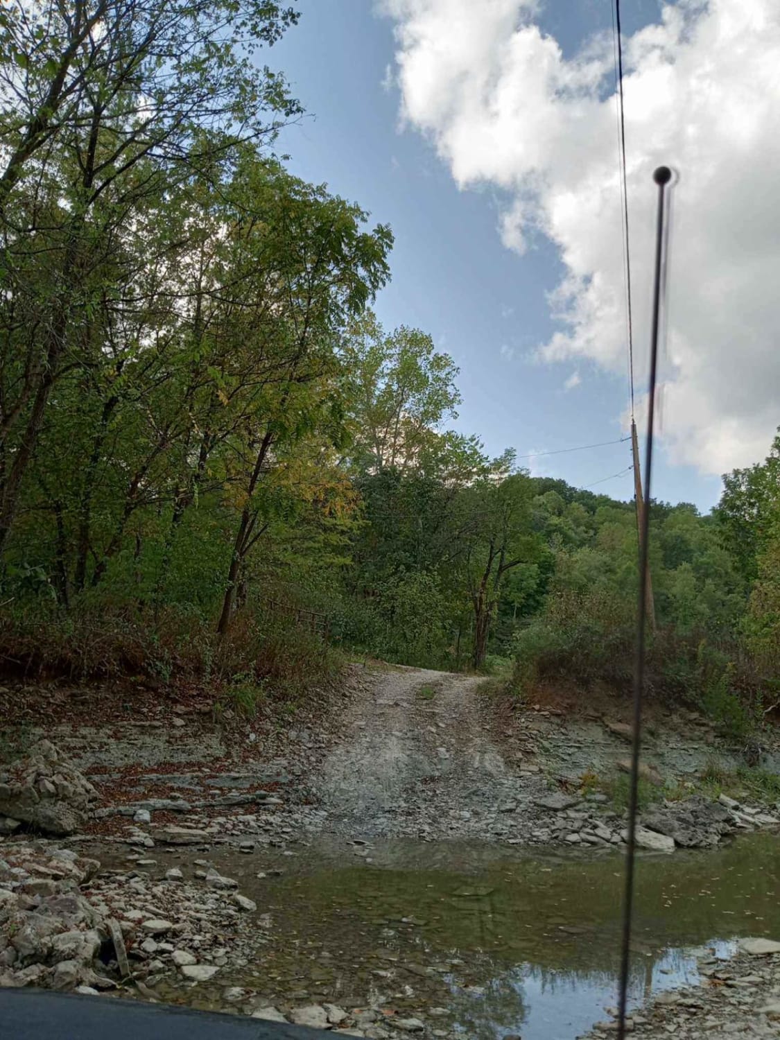
County Road 500 South in the bottoms is a 2-mile gravel road. On the west end of the road is a hill that can be a challenge when it is icy. Both sides of the road are private property, and the road is usually closed after heavy rain due to flooding. Geese and blue herons can be seen in the fields along the road at certain times of the year. There is a bridge at the center of the road. The west end of the road ends at the Muscatatuck National Wildlife Refuge.
Photos of County Road 500 South
Difficulty
The road is an easy gravel road on a dry day or with a small amount of rain. Wintertime, snow will drift across the road, requiring 4WD. The road will close if flooded. The hill can be a challenge if icy.
Status Reports
County Road 500 South can be accessed by the following ride types:
- High-Clearance 4x4
- SUV
- SxS (60")
County Road 500 South Map
Popular Trails
Redbird Trail 5x
Redbird Trail 3
The onX Offroad Difference
onX Offroad combines trail photos, descriptions, difficulty ratings, width restrictions, seasonality, and more in a user-friendly interface. Available on all devices, with offline access and full compatibility with CarPlay and Android Auto. Discover what you’re missing today!