Back Mail Route Road - FS 312
Total Miles
2.8
Technical Rating
Best Time
Fall, Winter, Summer
Trail Type
Full-Width Road
Accessible By
Trail Overview
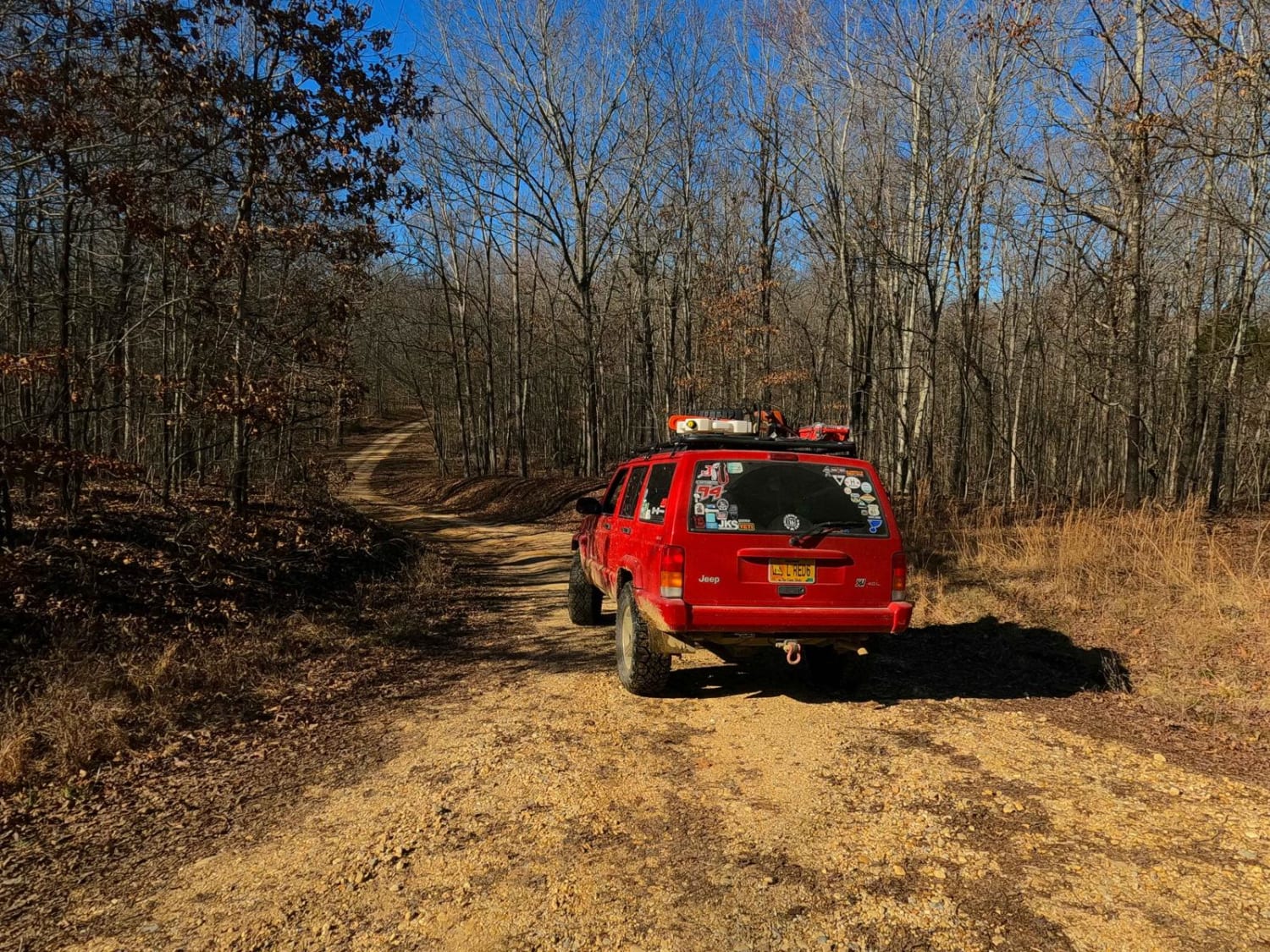
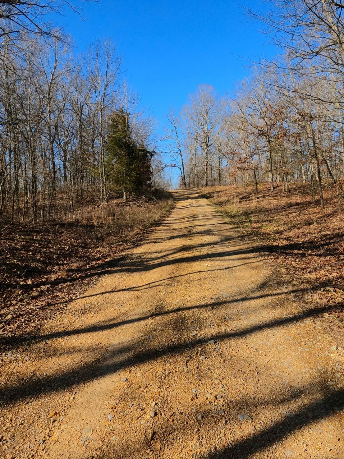
Back Mail Route Road FS 312 is a gravel forestry road running parallel to the Lake Barkley shore at Honker Bay. It rests in the center-east Kentucky section of the Land Between the Lakes National Recreation Area. This road features small rolling hills, beautiful treelines, and open valleys, with minimal water collection spots on the road surface and occasional mild soft spots. This road provides the only north-to-south travel on the far eastern side of LBL in this area, essentially picking up where the paved FS 134 heads south. The road crosses Fulton Creek in the southern section, adding a little thrill to its track. This general area is called Racetrack Hollow. Right next to the creek is a rock ring camping cutout (at 36.92157, -88.06370), and this is the closest point (400 yards away) the road gets to the water of Lake Barkley, being one of the branch bays of water off Honker Bay. On the northern end, the FS 312 provides access to Gray Cemetery Road FS 313 at 36.93613, -88.07427. All in all, it's a great road if you are looking for a scenic cruise touching mild terrain along the way. Note that this road is closed from 3/27-5/05 for Turkey Season.
Photos of Back Mail Route Road - FS 312
Difficulty
Back Mail Route is a simple gravel road. It's generally well maintained, consisting of one creek crossing, and mild grades up and down the area's rolling hills. Expect washboards, potholes, mounding of the gravel, spots where the gravel fades to dirt, and mild signs of erosion on the hills. At Fulton Creek, there is likely a small (less than 12 inches deep, unless in very wet conditions) water splash; this is the one reason for the bump in difficulty to a 2/10, though the majority of the trail rides like a 1/10. The road could experience difficulty increases in times of heavy use, wet conditions, and inclement weather, but also in deep summer could be mostly dry and lower to a 1/10 rating, featuring only soft gravel at the creek crossing.
Status Reports
Popular Trails
Johnson Hollow
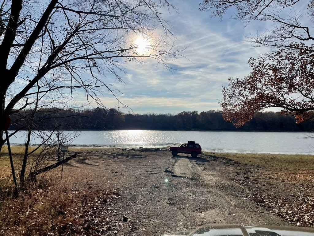
Davenport Bay FSR 127B
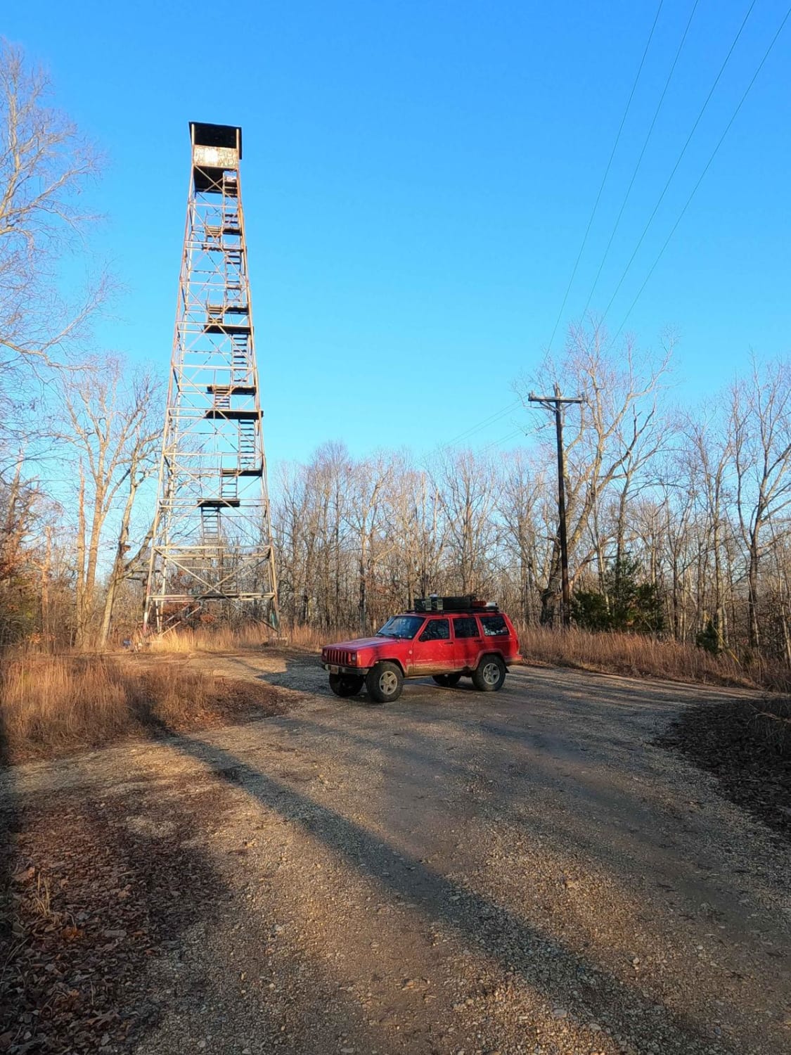
Hematite Tower Road - FS 310
The onX Offroad Difference
onX Offroad combines trail photos, descriptions, difficulty ratings, width restrictions, seasonality, and more in a user-friendly interface. Available on all devices, with offline access and full compatibility with CarPlay and Android Auto. Discover what you’re missing today!
