Daughtry to Sheltowee Trace
Total Miles
7.1
Technical Rating
Best Time
Spring, Summer, Fall, Winter
Trail Type
Full-Width Road
Accessible By
Trail Overview
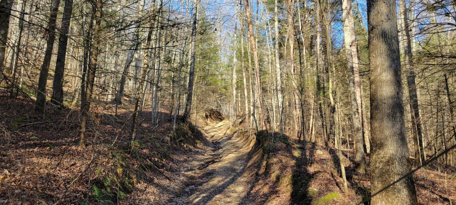
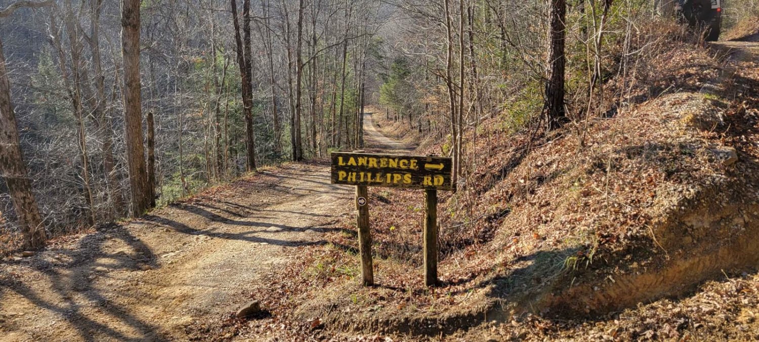
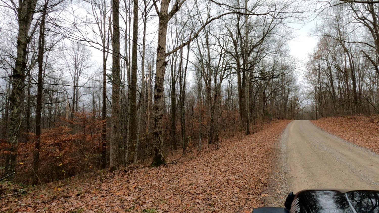
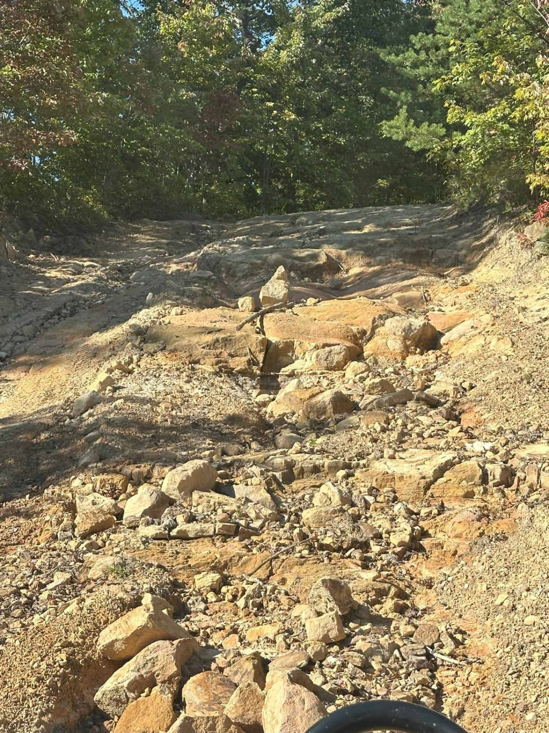
Daughtry ln starts out as a nice gravel road for about 2 miles. There's a couple creek crossings which one can get deep and fast moving. Once you've crossed the creek you'll go through a field and meet up with Sheltowee Trace Trail for licensed vehicles and anything in-between. This part has some mud holes and some rocky sections. Once you've gone about 3 miles on the trail you'll come to another gravel road, which will take you the Beattyville to Livingston Trail.
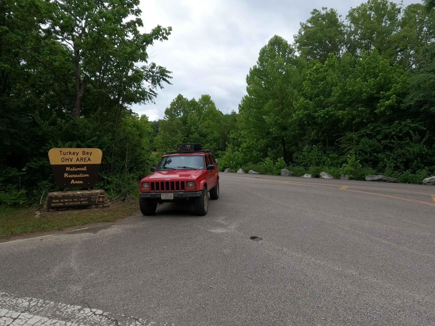
Photos of Daughtry to Sheltowee Trace
Difficulty
Wouldn't suggest going after a heavy rain.
Status Reports
Daughtry to Sheltowee Trace can be accessed by the following ride types:
- High-Clearance 4x4
- SUV
- SxS (60")
- ATV (50")
- Dirt Bike
Daughtry to Sheltowee Trace Map
Popular Trails

Lake Branch 3171
Henry Mtn Rd
Turkey Bay Gate FSR 167
The onX Offroad Difference
onX Offroad combines trail photos, descriptions, difficulty ratings, width restrictions, seasonality, and more in a user-friendly interface. Available on all devices, with offline access and full compatibility with CarPlay and Android Auto. Discover what you’re missing today!